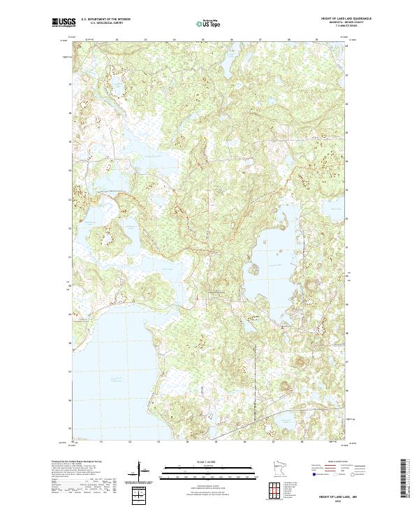
2022 Map of Height of Land Lake
USGS Topo · Published 2022About this map
The Otter Tail River winds through a dense lacustrine landscape in Becker County, connecting a vast network of glacial basins and wetlands. This area is dominated by the massive Height of Land Lake at its southern end, which anchors a hydrological system including Rice Lake and Island Lake. The map reveals how the modern human footprint integrates with this watery terrain through a series of specialized trails, most notably the North Country National Scenic Trl and the Beaver Valley Trl, which navigate the high ground between marshes.
Find a feature on this map
36 named features on this map. Tap any name to fly to it.
Don’t see what you’re looking for? This feature index may not catch every label — zoom into the map to look around manually.
Map Details
Editions of this 2022 Height of Land Lake Map
This is the sole edition of this map. No revisions or reprints were ever made.
Other maps of this area

1953 · Brainerd
USGS Topo · 1:250,000

1954 · Bemidji
USGS Topo · 1:250,000

1957 · Brainerd
USGS Topo · 1:250,000

1957 · Bemidji
USGS Topo · 1:250,000

1958 · Bemidji
USGS Topo · 1:250,000

1958 · Brainerd
USGS Topo · 1:250,000

1959 · Toad Mountain
USGS Topo · 1:24,000

1959 · Flat Lake
USGS Topo · 1:24,000

1959 · Rochert
USGS Topo · 1:24,000

1959 · Height Of Land Lake
USGS Topo · 1:24,000