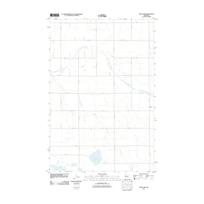
2011 Map of Tilde Lake
USGS Topo · Published 2011About this map
Tilde Lake sits at the heart of this agricultural landscape in Clay County, serving as a primary hydrologic landmark in a region defined by its section-line roads and drainage patterns. The meandering path of the South Branch Wild Rice River cuts across the northern portion of the quadrangle, joined by the winding course of Stiner Creek. This 2011 survey illustrates the precise grid of the rural road network, including 190th Ave N and 380th St, which facilitate the region's agricultural transport. For those researching local family history, the Atlanta Cemetery is a significant feature located in the eastern portion of the map near 130th Ave. The terrain is relatively level, typical of the Red River Valley borderlands, where water management is crucial as seen by the various ditches and small tributaries that feed into the larger river systems.
Find a feature on this map
29 named features on this map. Tap any name to fly to it.
Don’t see what you’re looking for? This feature index may not catch every label — zoom into the map to look around manually.
Map Details
Editions of this 2011 Tilde Lake Map
This is the sole edition of this map. No revisions or reprints were ever made.
Other maps of this area

1918 · Flom
USGS Topo · 1:62,500

1918 · Ulen
USGS Topo · 1:62,500

1919 · Hawley
USGS Topo · 1:62,500

1952 · Grand Forks
USGS Topo · 1:250,000

1953 · Fargo
USGS Topo · 1:250,000

1956 · Fargo
USGS Topo · 1:250,000

1956 · Grand Forks
USGS Topo · 1:250,000

1965 · Syre
USGS Topo · 1:24,000

1966 · Flom
USGS Topo · 1:24,000

1966 · Grand Forks
USGS Topo · 1:250,000