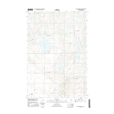
2016 Map of Big Basswood Lake
USGS Topo · Published 2016About this map
Big Basswood Lake and the surrounding Becker County wetlands define this landscape of interconnected glacial basins and winding creeks. Located within the White Earth Indian Reservation, the area shows a distinct transition from the open waters of Little Basswood Lake and Boot Lake to the meandering course of Indian Cr and the Straight River. The settlement of Pine Point serves as a primary local anchor in the southwest, while the presence of Lakeside Cem near Coon Lake points to the area's established rural community roots.
Find a feature on this map
46 named features on this map. Tap any name to fly to it.
Don’t see what you’re looking for? This feature index may not catch every label — zoom into the map to look around manually.
Map Details
Editions of this 2016 Big Basswood Lake Map
This is the sole edition of this map. No revisions or reprints were ever made.
Other maps of this area

1953 · Brainerd
USGS Topo · 1:250,000

1954 · Bemidji
USGS Topo · 1:250,000

1957 · Brainerd
USGS Topo · 1:250,000

1957 · Bemidji
USGS Topo · 1:250,000

1958 · Bemidji
USGS Topo · 1:250,000

1958 · Brainerd
USGS Topo · 1:250,000

1965 · Brainerd
USGS Topo · 1:250,000

1969 · Anchor Hill
USGS Topo · 1:24,000

1969 · Big Basswood Lake
USGS Topo · 1:24,000
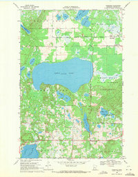
1969 · Ponsford
USGS Topo · 1:24,000