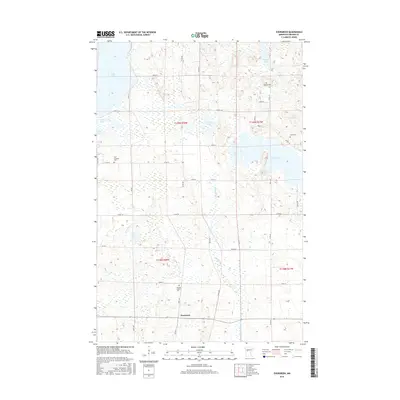
2016 Map of Evergreen
USGS Topo · Published 2016About this map
The Redeye River and Dead Horse Cr weave through this section of Becker County, defining a landscape of glacial lakes and small rural settlements. The community of Evergreen sits at the southern edge of the sheet, serving as a hub for the surrounding township lands. A strong sense of local heritage is preserved in the distribution of family and community burial grounds, such as the Pickett Family Cem and the Palm Cem. Large water bodies like Toad Lake and Wolf Lake dominate the northern and eastern portions of the map, while numerous smaller basins like Sock Lake and Mud Lake dot the interior. The grid of country roads, including Co Rd 39 and Co Rd 36, provides access to these isolated reaches of the Minnesota lake country, illustrating a persistent pattern of rural life and land use in the mid-2010s.
Find a feature on this map
78 named features on this map. Tap any name to fly to it.
Don’t see what you’re looking for? This feature index may not catch every label — zoom into the map to look around manually.
Map Details
Editions of this 2016 Evergreen Map
This is the sole edition of this map. No revisions or reprints were ever made.
Other maps of this area

1915 · Perham
USGS Topo · 1:62,500

1953 · Brainerd
USGS Topo · 1:250,000

1957 · Brainerd
USGS Topo · 1:250,000

1958 · Brainerd
USGS Topo · 1:250,000

1959 · Toad Mountain
USGS Topo · 1:24,000

1959 · Height Of Land Lake
USGS Topo · 1:24,000

1965 · Brainerd
USGS Topo · 1:250,000

1969 · Wolf Lake
USGS Topo · 1:24,000

1969 · Evergreen
USGS Topo · 1:24,000

1969 · New York Mills NW
USGS Topo · 1:24,000