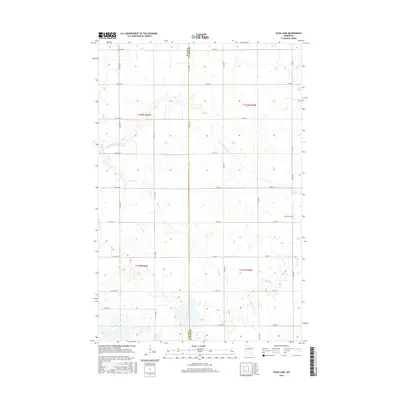
2016 Map of Tilde Lake
USGS Topo · Published 2016About this map
The Clay Co and Becker Co line bisects this agricultural landscape, where the meandering course of the S Br Wild Rice River and its tributary, Stiner Cr, define the drainage pattern of the Red River Valley upland. The map shows a transition from the river-cut north to the wetland-rich south, where numerous small depressions lead toward Tilde Lake. Settlement is primarily organized around the Section-line road grid, including Co Rd 157 and Co Rd 7, which connect isolated farmsteads across the prairie. For genealogists and local historians, the presence of the Atlanta Cem in the eastern portion provides a specific point of reference for the families who established the surrounding farm tracts in this corner of Minnesota.
Find a feature on this map
33 named features on this map. Tap any name to fly to it.
Don’t see what you’re looking for? This feature index may not catch every label — zoom into the map to look around manually.
Map Details
Editions of this 2016 Tilde Lake Map
This is the sole edition of this map. No revisions or reprints were ever made.
Other maps of this area
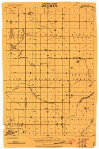
1918 · Flom
USGS Topo · 1:62,500
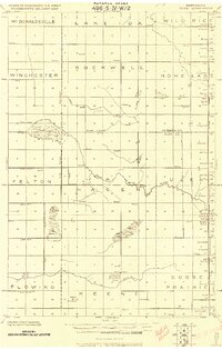
1918 · Ulen
USGS Topo · 1:62,500
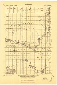
1919 · Hawley
USGS Topo · 1:62,500

1952 · Grand Forks
USGS Topo · 1:250,000

1953 · Fargo
USGS Topo · 1:250,000

1956 · Fargo
USGS Topo · 1:250,000

1956 · Grand Forks
USGS Topo · 1:250,000
1965 · Syre
USGS Topo · 1:24,000
1966 · Flom
USGS Topo · 1:24,000
1966 · Grand Forks
USGS Topo · 1:250,000