2000s (21st Century) Maps of Lake County, Minnesota
Explore 315 historic maps of Lake County from the 2000s (21st Century). These maps offer a rare glimpse into what life looked like during the 2000s — showing old roads, neighborhoods, homes, and landmarks that have changed or disappeared over time.
Whether you're researching your family's past, planning a metal detecting trip, or studying how Lake County's landscape evolved across the 2000s, these high-resolution maps are a powerful tool for exploring the history of this region.
- Focus on a specific era: All maps on this page are from the 2000s, giving you a focused view of this time period.
- See what’s changed: Compare century-old streets, trails, and buildings to today's modern landscape using overlays and satellite layers.
- Research with precision: Use these maps for genealogy, historical research, land use analysis, or educational projects.
- View, download, or print: Maps are fully viewable online in high resolution, and can be downloaded or printed for your own records.
Start exploring Lake County's history through authentic maps from the 2000s. This is your window into the past.
Lake County, MN maps
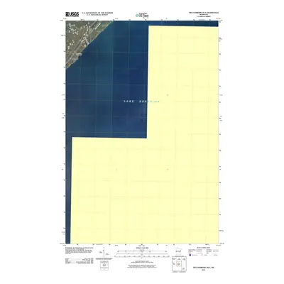
(315)- 2010 Map of Finland, 2010 Print
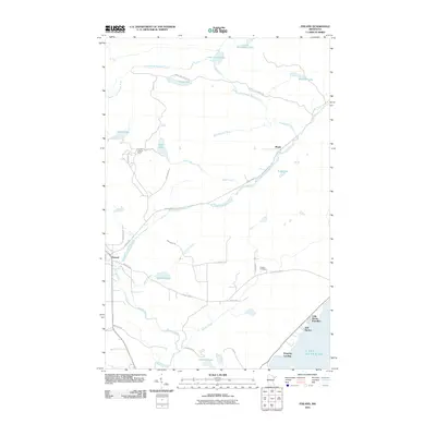 2010 Finland2010 Print · USGSCovers Lake County, including Lake No. 1, Bell Harbor, and other nearby areas
 - 2010 Map of Castle Danger, 2010 Print
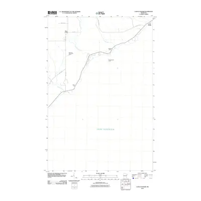 2010 Castle Danger2010 Print · USGSCovers Lake County, including Silver Creek, Silver Creek Township, and other nearby areas
 - 2010 Map of Two Harbors NE, 2010 Print
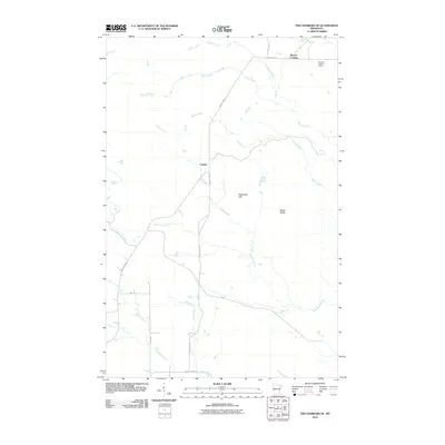 2010 Two Harbors NE2010 Print · USGSCovers Lake County, including Silver Creek Township, Beaver Crossing, and other nearby areas
 - 2010 Map of Split Rock Point, 2010 Print
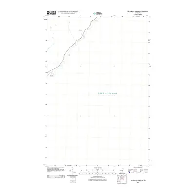
 2010 Split Rock Point2010 Print · USGSCovers Lake County, including Silver Creek Township, Beaver Bay Township, and other nearby areas
 - 2010 Map of Two Harbors, 2010 Print
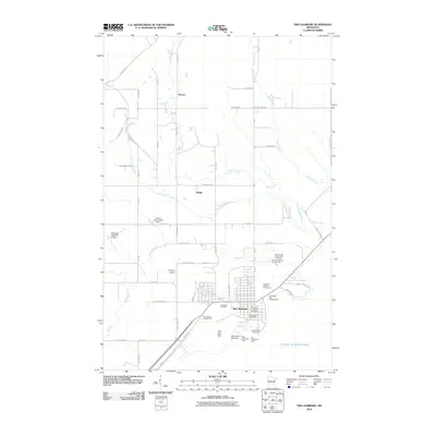 2010 Two Harbors2010 Print · USGSCovers Lake County, including Two Harbors, Silver Creek Township, and other nearby areas
 - 2010 Map of Highland, 2010 Print
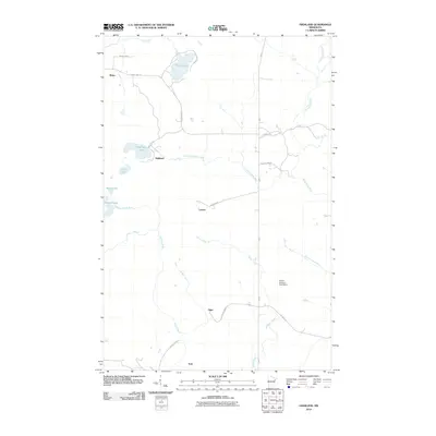 2010 Highland2010 Print · USGSCovers Lake County, including Silver Creek Township, Highland, and other nearby areas
 - 2010 Map of McCarthy Creek, 2010 Print
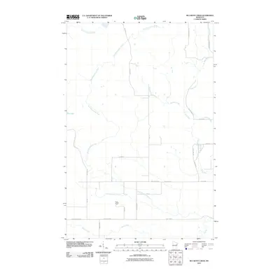 2010 McCarthy Creek2010 Print · USGSCovers Lake County, including Alden Township, Pequaywan Township, and other nearby areas
 - 2010 Map of King Lake, 2010 Print
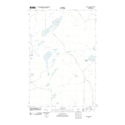 2010 King Lake2010 Print · USGSCovers Lake County, including Ault Township, Pequaywan Township, and other nearby areas
 - 2010 Map of Split Rock Point NE, 2010 Print
 2010 Split Rock Point NE2010 Print · USGSCovers Lake County, including Beaver Bay, Beaver Bay Township, and other nearby areas
 - 2010 Map of Split Rock Point OE S, 2010 Print
 2010 Split Rock Point OE S2010 Print · USGSCovers Lake County, including Silver Creek Township, United States, and other nearby areas
 - 2010 Map of Illgen City, 2010 Print
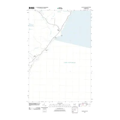 2010 Illgen City2010 Print · USGSCovers Lake County, including Silver Bay, Illgen City, and other nearby areas
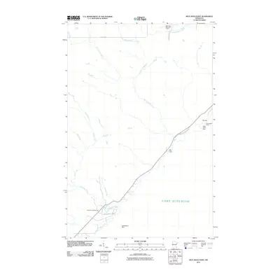
 - 2010 Map of Knife River, 2010 Print
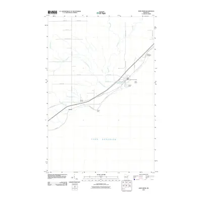 2010 Knife River2010 Print · USGSCovers Lake County, including Knife River, Palmers, and other nearby areas
 - 2010 Map of Two Harbors OE S, 2010 Print
 2010 Two Harbors OE S2010 Print · USGSCovers Lake County, including Lake No. 2, United States, and other nearby areas
 - 2011 Map of Mount Weber, 2011 Print
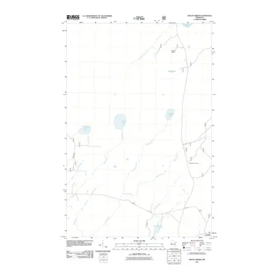 2011 Mount Weber2011 Print · USGSCovers Lake County, including Silver Creek Township, Jordan, and other nearby areas
 - 2011 Map of Slate Lake West, 2011 Print
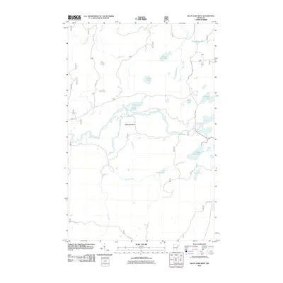 2011 Slate Lake West2011 Print · USGSCovers Lake County, including Lake No. 2, Stony River Township, and other nearby areas
 - 2011 Map of Doyle Lake, 2011 Print
 2011 Doyle Lake2011 Print · USGSCovers Lake County, including Crystal Bay Township, Beaver Bay Township, and other nearby areas
 - 2011 Map of Legler Lake, 2011 Print
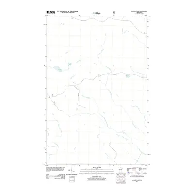 2011 Legler Lake2011 Print · USGSCovers Lake County, including Silver Creek Township, United States, and other nearby areas
 - 2011 Map of Quadga Lake, 2011 Print
 2011 Quadga Lake2011 Print · USGSCovers Lake County, including Stony River Township, United States, and other nearby areas
 - 2011 Map of Lake Polly, 2011 Print
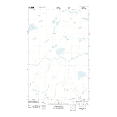
 2011 Lake Polly2011 Print · USGSCovers Lake County, including Schroeder Township, Lake No. 1, and other nearby areas
 - 2011 Map of Cabin Lake, 2011 Print
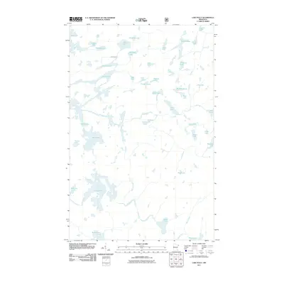
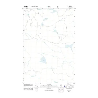 2011 Cabin Lake2011 Print · USGSCovers Lake County, including Lake No. 1, Crystal Bay Township, and other nearby areas
 - 2011 Map of Whyte, 2011 Print
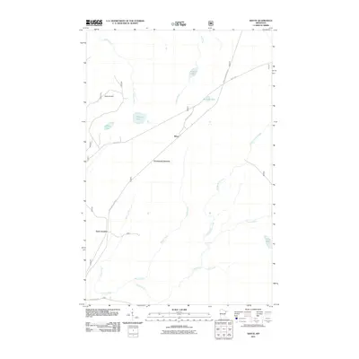 2011 Whyte2011 Print · USGSCovers Lake County, including Silver Creek Township, Greenwood Junction, and other nearby areas
 - 2011 Map of Silver Island Lake, 2011 Print
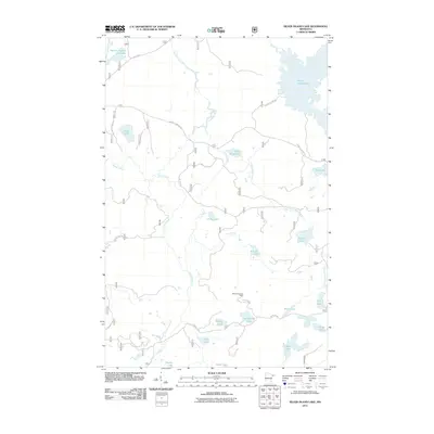 2011 Silver Island Lake2011 Print · USGSCovers Lake County, including Lake No. 1, Crystal Bay Township, and other nearby areas
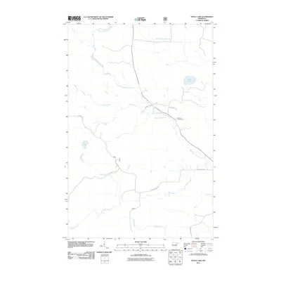
 - 2011 Map of Slate Lake East, 2011 Print
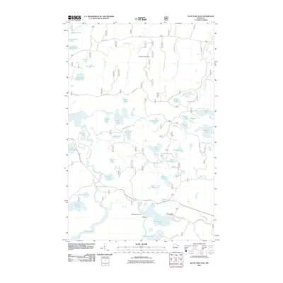 2011 Slate Lake East2011 Print · USGSCovers Lake County, including Stony River Township, United States, and other nearby areas
 - 2011 Map of Toimi, 2011 Print
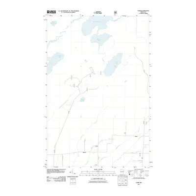 2011 Toimi2011 Print · USGSCovers Lake County, including Bassett, Toimi, and other nearby areas
 - 2011 Map of Silver Bay SW, 2011 Print
 2011 Silver Bay SW2011 Print · USGSCovers Lake County, including Silver Creek Township, Beaver Bay Township, and other nearby areas
Showing maps 1-25 of 315
Top cities of Lake County
Frequently asked questions
- What are the different types of historical maps available for Lake County?
- What is the oldest map of Lake County?
- Where can I purchase historical maps of Lake County for my home or office?
- Where can I download high-res historical maps of Lake County?
- Are there historical topographic maps available for Lake County?
- Is there historical aerial imagery available for Lake County?
- Where are historical maps of Lake County sourced from?