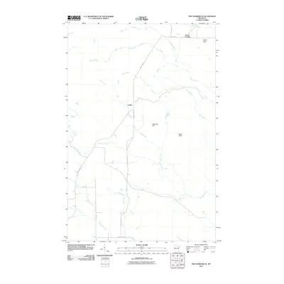
2010 Map of Two Harbors NE
USGS Topo · Published 2010About this map
London and Beaver Crossing anchor this portion of Lake County, where the transition from higher elevations toward the shore of Lake Superior is defined by a dense network of moving water. The landscape is carved by the Gooseberry River and the Encampment River, along with numerous smaller streams like Skunk Creek, Stony Creek, and Mink Creek. These waterways dictate the local topography, creating prominent features such as Nester Bluffs and Gustafson Hill.
Find a feature on this map
18 named features on this map. Tap any name to fly to it.
Don’t see what you’re looking for? This feature index may not catch every label — zoom into the map to look around manually.
Map Details
Editions of this 2010 Two Harbors NE Map
This is the sole edition of this map. No revisions or reprints were ever made.
Other maps of this area

1953 · Whyte
USGS Topo · 1:62,500

1954 · Silver Bay
USGS Topo · 1:62,500

1954 · Two Harbors
USGS Topo · 1:250,000

1956 · Split Rock Point
USGS Topo · 1:24,000

1956 · Split Rock Point
USGS Topo · 1:62,500

1957 · Two Harbors
USGS Topo · 1:250,000

1957 · Two Harbors
USGS Topo · 1:62,500

1957 · Two Harbors
USGS Topo · 1:24,000

1957 · Two Harbors NE
USGS Topo · 1:24,000

1957 · Castle Danger
USGS Topo · 1:24,000