Old Maps of Beaver Bay Township, Minnesota for Hiking & Exploration
Hike through history with 70 historic maps of Beaver Bay Township. Explore old trails, ghost towns, and forgotten backroads — perfect for outdoor adventurers and local explorers.
- Rediscover forgotten places: Map out old mining camps, roads, and footpaths that no longer exist on modern maps.
- Layer with modern tools: Combine with LiDAR or satellite views to plan hikes through historical terrain.
- Made for exploration: Popular among hikers, overlanders, and local history lovers.
Use these maps to find adventure and explore the hidden past of Beaver Bay Township.
Beaver Bay Township, MN maps
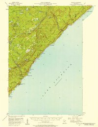
(70)- 1954 Map of Silver Bay, 1956 Print
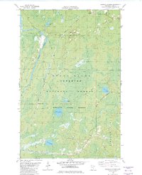
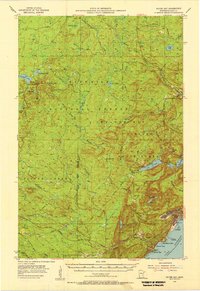 1954 Silver Bay1956 Print · USGSThe North Shore was undergoing industrial expansion in the mid-1950s as mining and maritime logistics converged on the Lake Superior coast. Researchers can trace the early infrastructure of Silver Bay, the operations at the Mining site, and old logging routes like the Old Company Railroad.3 unique versions available
 - 1954 Map of Two Harbors, 1964 Print
 1954 Two Harbors1964 Print · USGSThe Minnesota North Shore and Superior National Forest are shown here in the mid-fifties, just as the taconite industry was reshaping the coast. Genealogists and historians can trace the rail lines of the Duluth Missabe and Iron Range or locate remote outposts like Sawbill Landing and Section Thirty.2 unique versions available
 - 1955 Map of Isabella, 1957 Print
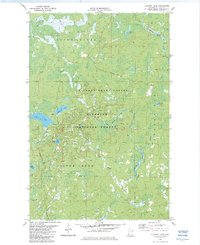
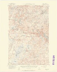 1955 Isabella1957 Print · USGSThe Lake County timberlands of the mid-1950s are captured here as a network of rail lines and forest landings. Researchers can trace the legacy of logging and settlement at the Isabella Sch (Abandoned), Manitou Junction, and Murphy City.4 unique versions available
 - 1956 Map of Split Rock Point, 1958 Print
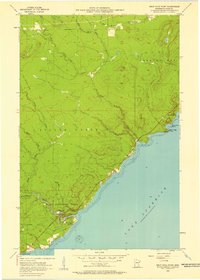 1956 Split Rock Point1958 Print · USGSThe Lake Superior shoreline comes alive in the mid-fifties, capturing the rugged North Shore before modern expansion. Trace the Old Railroad Grade and explore early coastal landmarks like Little Two Harbors, Castle Danger, and the falls of Gooseberry Falls State Park.3 unique versions available
 - 1956 Map of Finland, 1958 Print
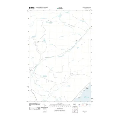
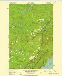 1956 Finland1958 Print · USGSThe North Shore highlands in the mid-fifties reveal a landscape of forestry and Cold War infrastructure. Researchers can locate the Finland Air Force Station, trace the Baptism River, or find family roots at the Finland Cem and Little Marais PO.3 unique versions available
 - 1956 Map of Finland, 1958 Print
 1956 Finland1958 Print · USGSThe North Shore of Lake Superior is captured here in the mid-fifties, showing the rugged intersection of the Crystal Bay Finland State Forest and the lake. Researchers can trace the era's military footprint at the Finland Air Force Station or locate family roots near the Finland Cem and Cramer Homestead Lake.2 unique versions available
 - 1956 Map of Illgen City, 1958 Print
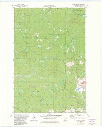
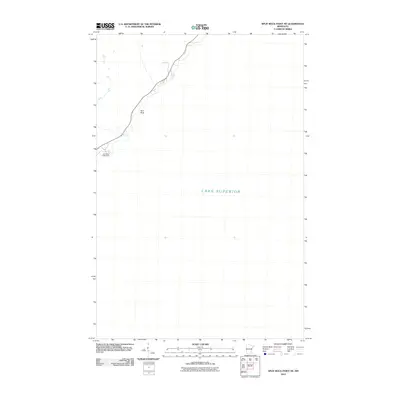
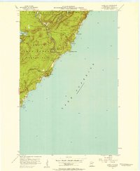 1956 Illgen City1958 Print · USGSThe North Shore of Lake Superior comes to life in the mid-1950s, showing the early infrastructure and protected forests of Lake County. Researchers can trace the development of Illgen City and locate landmarks like Illgen Falls and the Radio Tower atop Palisade Head.3 unique versions available
 - 1956 Map of Split Rock Point, 1958 Print
 1956 Split Rock Point1958 Print · USGSThe North Shore of Lake Superior during the mid-fifties is captured here, showing the era's balance of industry and tourism. Trace the Old RR Grade and maritime landmarks like the Split Rock Lighthouse and Castle Danger.2 unique versions available
 - 1956 Map of Split Rock Point NE, 1958 Print
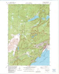
 1956 Split Rock Point NE1958 Print · USGSThe North Shore of Lake County comes into focus in the mid-fifties, capturing the rugged coastline near the township of Beaver Bay. Researchers can trace the maritime landscape around the iconic Split Rock Lighthouse and explore small inlets like Little Two Harbors and Islet Bay.2 unique versions available
 - 1957 Map of Two Harbors
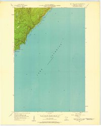
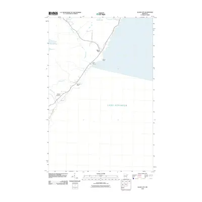
 1957 Two Harbors1957 Print · USGSMinnesota's North Shore and the Arrowhead region are shown here in the mid-fifties as the taconite industry and cold war defense shaped the landscape. Researchers can trace the Duluth Missabe and Iron Range railroad, locate the Split Rock Light, and explore the iron-mining era at Taconite.
 - 1958 Map of Two Harbors
 1958 Two Harbors1958 Print · USGSThe North Shore and Arrowhead region of Minnesota are captured in the 1950s as iron ore shipping and wilderness preservation shaped the land. Researchers can trace the Duluth Missabe and Iron Range RR, find maritime landmarks like Split Rock Light, and locate remote settlements from Babbitt to Grand Marais.
 - 1964 Map of Two Harbors
 1964 Two Harbors1964 Print · USGSThe North Shore of Lake Superior is captured here during the mid-1950s, a time of significant industrial mining growth and emerging tourism. Genealogists and historians can trace the rail lines of the Duluth Missabe and Iron Range and locate landmarks like Split Rock Light and the U S Air Force Radar Station.
 - 1976 Map of Two Harbors, 1994 Print
 1976 Two Harbors1994 Print · USGSThe North Shore of Lake Superior comes alive in this mid-seventies survey of the Minnesota timber and iron country. Trace the Duluth Missabe and Iron Range RR from Two Harbors past Split Rock Lighthouse State Park to the industrial port at Silver Bay.
 - 1981 Map of Isabella, 1982 Print
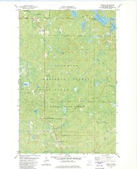 1981 Isabella1982 Print · USGSLake County was a center for timber and mineral transport in the early eighties, shown here through an intricate network of forest grades and waterways. Researchers can trace the Old Railroad Grade, locate the Isabella Memorial Cem, and explore the roads around Isabella and Murphy City.2 unique versions available
 - 1982 Map of Isabella Station
 1982 Isabella Station1982 Print · USGSLake County's timber and transit history is preserved here in the early eighties, showcasing the intersection of massive state and national forests. Genealogists and historians can trace the Duluth Missabe and Iron Range Railroad Grade past Isabella Station and the remote Jay Cee Landing.2 unique versions available
 - 1982 Map of Silver Bay SW
 1982 Silver Bay SW1982 Print · USGSLake County's forested interior is captured here in the early 1980s, showcasing a landscape shaped by both timber and mining interests. Researchers can trace the path of the Mining Railroad and an Old Railroad Grade or locate the Silver Bay Municipal Airport near the Beaver River.2 unique versions available
 - 1982 Map of Cloquet Lake, 1983 Print
 1982 Cloquet Lake1983 Print · USGSThe Lake County wilderness in the early 1980s reveals a landscape of protected forests and interconnected waterways. Outdoor researchers and local historians can trace the paths of a Winter Trail and Heffelfinger Road through the Finland State Forest.2 unique versions available
 - 1982 Map of Doyle Lake, 1983 Print
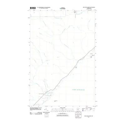
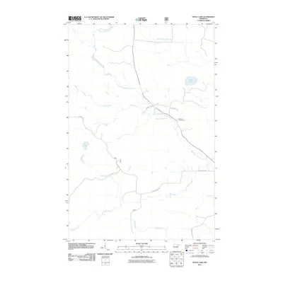
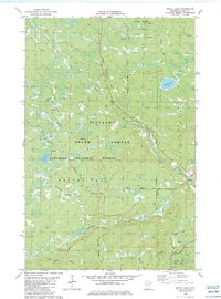 1982 Doyle Lake1983 Print · USGSLake County's northern woods are mapped here in the early eighties as a hub for both forestry and seasonal recreation. Researchers can trace the Old Railroad Grade near Finland or locate the many water bodies including Doyle Lake and Fry Lake.2 unique versions available
 - 1982 Map of Silver Bay, 1983 Print
 1982 Silver Bay1983 Print · USGSThe Lake Superior shoreline at Silver Bay is captured in the early 1980s as industrial development and wilderness preservation meet. Trace the heavy rail and mining infrastructure of the Industrial Plant alongside landmarks like Lax Lake and Beaver Bay.2 unique versions available
 - 1994 Map of Ely
 1994 Ely1994 Print · USGSEly and the surrounding Iron Range country are shown here in the mid-1990s, where mining operations meet the edge of the great northern wilderness. Researchers can trace the development of Babbitt, locate the Mine sites, or explore the vast lake networks of the Boundary Waters Canoe Area Wilderness.
 - 2010 Map of Finland, 2010 Print
 2010 Finland2010 Print · USGSCovers Beaver Bay Township, including Lake No. 1, Bell Harbor, and other nearby areas
 - 2010 Map of Split Rock Point, 2010 Print
 2010 Split Rock Point2010 Print · USGSCovers Beaver Bay Township, including Silver Creek Township, Lake County, and other nearby areas
 - 2010 Map of Split Rock Point NE, 2010 Print
 2010 Split Rock Point NE2010 Print · USGSCovers Beaver Bay Township, including Beaver Bay, Lake County, and other nearby areas
 - 2010 Map of Illgen City, 2010 Print
 2010 Illgen City2010 Print · USGSCovers Beaver Bay Township, including Silver Bay, Illgen City, and other nearby areas
 - 2011 Map of Doyle Lake, 2011 Print
 2011 Doyle Lake2011 Print · USGSCovers Beaver Bay Township, including Crystal Bay Township, Stony River Township, and other nearby areas
Showing maps 1-25 of 70
Top cities near Beaver Bay Township
Top neighborhoods of Beaver Bay Township
Frequently asked questions
- What are the different types of historical maps available for Beaver Bay Township?
- What is the oldest map of Beaver Bay Township?
- Where can I purchase historical maps of Beaver Bay Township for my home or office?
- Where can I download high-res historical maps of Beaver Bay Township?
- Are there historical topographic maps available for Beaver Bay Township?
- Is there historical aerial imagery available for Beaver Bay Township?
- Where are historical maps of Beaver Bay Township sourced from?