Old Maps of Ottawa Township, Minnesota for Academic Research
Study the evolution of Ottawa Township with 16 high-resolution historic maps. Whether you're teaching, researching, or modeling changes in land use, these maps provide essential visual documentation of urban, environmental, and geographic change.
- Analyze long-term change: Track patterns in development, transportation, and natural features.
- Ideal for environmental or urban studies: Support academic projects with primary historical map data.
- Use in the classroom or lab: Educators and researchers rely on these maps to bring historical context to life.
These maps are a powerful tool for teaching, research, and visualizing how Ottawa Township has changed over the decades.
Ottawa Township, MN maps
(16)- 1953 Map of Saint Paul, 1964 Print
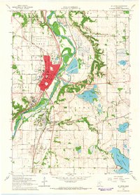
 1953 Saint Paul1964 Print · USGSThe Twin Cities and the Mississippi River valley are captured here at a mid-century turning point. Trace the early growth of Minneapolis and Saint Paul alongside landmarks like Lake Minnetonka and the St Croix River.4 unique versions available
 - 1959 Map of Saint Paul
 1959 Saint Paul1959 Print · USGSThe Twin Cities and southeastern Minnesota appear here in the late fifties, showing the peak of the rail era and post-war suburban growth. Genealogists can trace family footprints near Lake Minnetonka, the Univ Of Minn Rosemount Research Center, or the growing neighborhoods of Richfield.2 unique versions available
 - 1965 Map of St Peter, 1966 Print
 1965 St Peter1966 Print · USGSThe Minnesota River valley comes into sharp focus during the mid-sixties, capturing the institutional and industrial heart of St. Peter and Kasota. Researchers can trace the grounds of Gustavus Adolphus College, the Milwaukee Road rail lines, and local landmarks like Elim Welsh Cem.3 unique versions available
 - 1965 Map of Le Sueur, 1966 Print
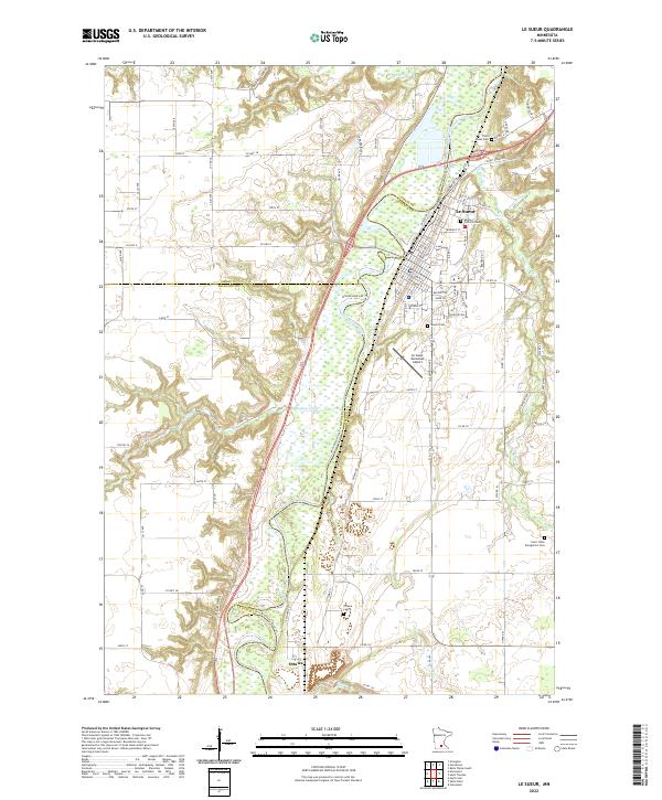
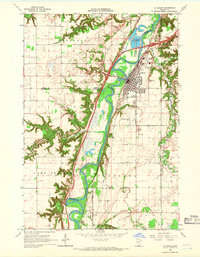 1965 Le Sueur1966 Print · USGSLe Sueur and the Minnesota River valley are captured in the mid-sixties during a period of steady growth and industrial activity. Researchers can trace the Chicago and North Western rail line and locate ancestral sites like Mound Cem and the settlement of Ottawa.4 unique versions available
 - 1985 Map of Faribault, 1986 Print
 1985 Faribault1986 Print · USGSThe Minnesota River valley and the glacial lake country of Rice and Le Sueur counties are shown here in the mid-1980s. Researchers can trace the academic grounds of St Olaf College or find old crossroads like Trondhjem and Little Chicago.2 unique versions available
 - 1991 Map of St Peter, 1995 Print
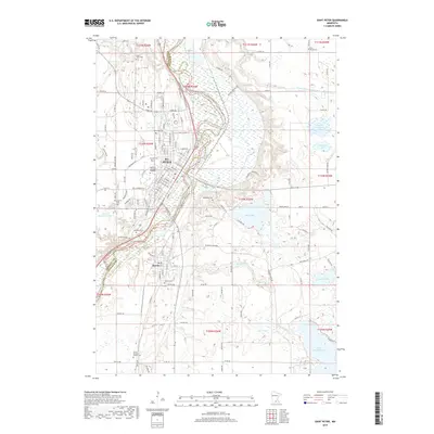
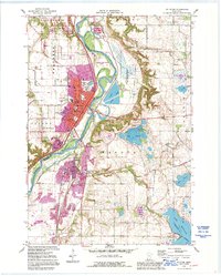 1991 St Peter1995 Print · USGSSt Peter and the Minnesota River valley are shown here in the early nineties, capturing the city's growth alongside its deep historical roots. Genealogists and researchers can trace local family history through Elim Welsh Cem and Kasota Cem or locate the old quarries that built the region's economy.2 unique versions available
 - 2010 Map of Saint Peter, 2010 Print
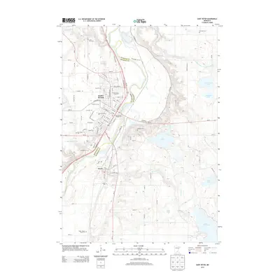
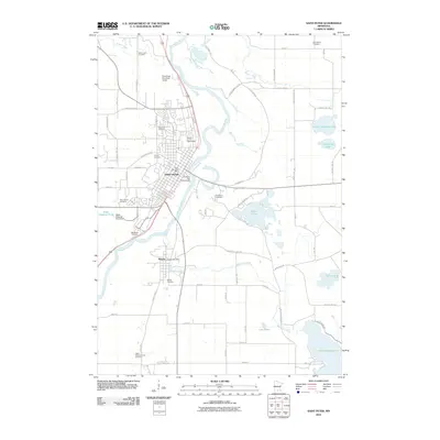 2010 Saint Peter2010 Print · USGSCovers Ottawa Township, including Saint Peter, Kasota, and other nearby areas
 - 2010 Map of Le Sueur, 2010 Print
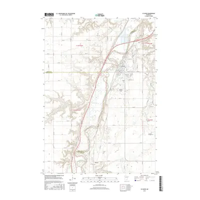
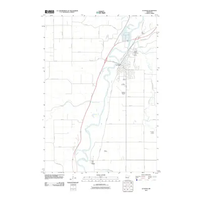 2010 Le Sueur2010 Print · USGSCovers Ottawa Township, including Le Sueur, Ottawa, and other nearby areas
 - 2013 Map of Le Sueur, 2013 Print
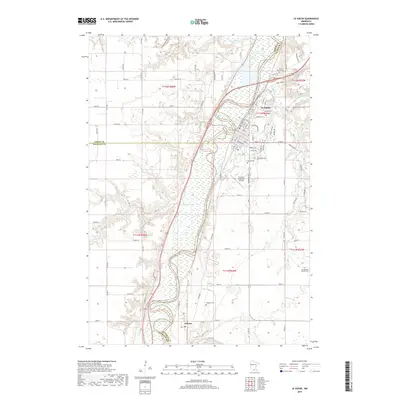
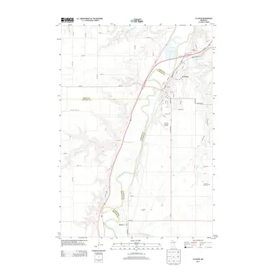 2013 Le Sueur2013 Print · USGSCovers Ottawa Township, including Le Sueur, Ottawa, and other nearby areas
 - 2013 Map of Saint Peter, 2013 Print
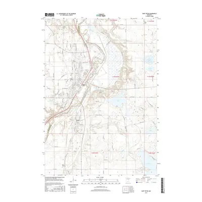
 2013 Saint Peter2013 Print · USGSCovers Ottawa Township, including Saint Peter, Kasota, and other nearby areas
 - 2016 Map of Saint Peter, 2016 Print
 2016 Saint Peter2016 Print · USGSCovers Ottawa Township, including Saint Peter, Kasota, and other nearby areas
 - 2016 Map of Le Sueur, 2016 Print
 2016 Le Sueur2016 Print · USGSCovers Ottawa Township, including Le Sueur, Ottawa, and other nearby areas
 - 2019 Map of Le Sueur, 2019 Print
 2019 Le Sueur2019 Print · USGSCovers Ottawa Township, including Le Sueur, Ottawa, and other nearby areas
 - 2019 Map of Saint Peter, 2019 Print
 2019 Saint Peter2019 Print · USGSCovers Ottawa Township, including Saint Peter, Kasota, and other nearby areas
 - 2022 Map of Le Sueur, 2022 Print
 2022 Le Sueur2022 Print · USGSThe Minnesota River valley near Le Sueur comes alive in this 2022 survey, showcasing the enduring rail and river corridor. Genealogists can locate several historic burial sites, including Ottawa Cem, Mound Cem, and the Saint Annes Cem.
 - 2022 Map of Saint Peter, 2022 Print
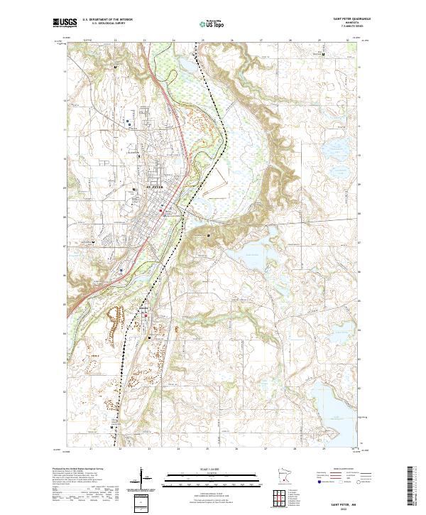 2022 Saint Peter2022 Print · USGSSt. Peter and Kasota are shown at the height of their modern development along the Minnesota River valley. Researchers can trace local heritage through numerous sites like Gustavus Adolphus College, Elim Welsh Cem, and the Nicollet County Government Center.
End of results
Showing maps 1-16 of 16
Top cities near Ottawa Township
- Mankato historical maps
- North Mankato historical maps
- Saint Peter historical maps
- Belle Plaine historical maps
- Le Sueur historical maps
- Le Center historical maps
See more
Top neighborhoods of Ottawa Township
Frequently asked questions
- What are the different types of historical maps available for Ottawa Township?
- What is the oldest map of Ottawa Township?
- Where can I purchase historical maps of Ottawa Township for my home or office?
- Where can I download high-res historical maps of Ottawa Township?
- Are there historical topographic maps available for Ottawa Township?
- Is there historical aerial imagery available for Ottawa Township?
- Where are historical maps of Ottawa Township sourced from?