
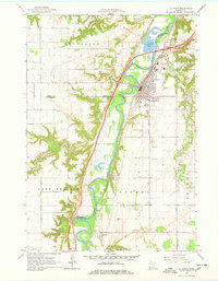
1965 Map of Le Sueur
USGS Topo · Published 1966About this map
The Minnesota River carves a winding path through this mid-1960s landscape, serving as a natural divide between Sibley, Nicollet, and Le Sueur counties. At the heart of the region, Le Sueur shows a concentrated grid of development along the eastern bank, supported by the Chicago and North Western railroad corridor. The area's agricultural and industrial character is evident through numerous Gravel Pit sites scattered across the river bluffs and the presence of the Le Sueur Municipal Airport.
Find a feature on this map
28 named features on this map. Tap any name to fly to it.
Don’t see what you’re looking for? This feature index may not catch every label — zoom into the map to look around manually.
Map Details
Editions of this 1965 Le Sueur Map
4 editions found
Other maps of this area

1953 · Saint Paul
USGS Topo · 1:250,000

1953 · New Ulm
USGS Topo · 1:250,000

1957 · New Ulm
USGS Topo · 1:250,000

1957 · Belle Plaine
USGS Topo · 1:62,500

1958 · New Ulm
USGS Topo · 1:250,000

1958 · Gaylord
USGS Topo · 1:62,500

1959 · Saint Paul
USGS Topo · 1:250,000

1965 · Cleveland
USGS Topo · 1:24,000

1965 · Norseland
USGS Topo · 1:24,000

1965 · North Star
USGS Topo · 1:24,000