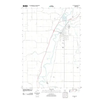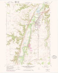
1965 Map of Le Sueur
USGS Topo · Published 1979About this map
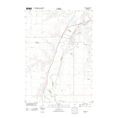
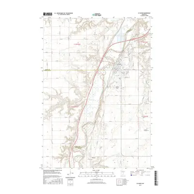
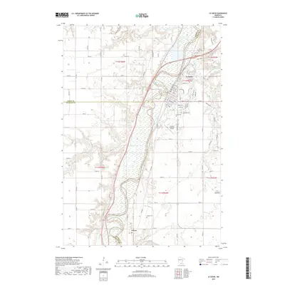
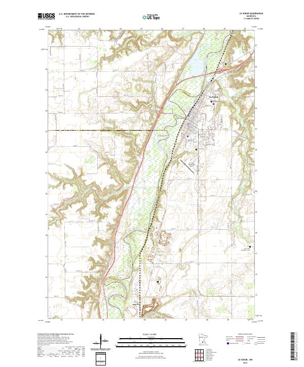
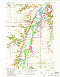
The Minnesota River carves a deep valley through this agricultural region, serving as the defining border for Henderson, Lake Prairie, and Ottawa townships. The town of Le Sueur sits prominently on the eastern terrace, its residential grid and industrial areas expanding toward the Chicago and North Western rail line and the valley bluffs. This 1970s revision highlights the transition of local infrastructure, showing the Le Sueur Municipal Airport and Sewage Disposal Ponds near the riverbanks. To the south, the small settlement of Ottawa remains a distinct cluster near the Ottawa Cemetery, while the surrounding uplands are marked by numerous Gravel Pits, indicating the geological legacy of the river's glacial history. Local landmarks like the Le Sueur Country Club and Mound Cemetery provide clear points of reference for those studying the mid-century development of this river valley community.
Find a feature on this map
31 named features on this map. Tap any name to fly to it.
Don’t see what you’re looking for? This feature index may not catch every label — zoom into the map to look around manually.
Map Details
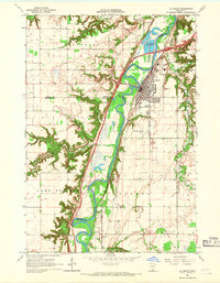
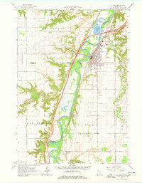
Editions of this 1965 Le Sueur Map
4 editions found
Historical Maps of Le Sueur Through Time
6 maps found