Old Maps of Taunton, Minnesota for Metal Detecting
Plan your next treasure hunt with 9 historic maps of Taunton. Find old homesites, ghost towns, trails, and gathering spots that may be lost to time — perfect for identifying promising metal detecting locations.
- Locate forgotten sites: Uncover places like long-lost settlements, abandoned rail lines, or gathering spots.
- Plan better hunts: Use map overlays combined with LiDAR or satellite views to narrow in on historically rich areas.
- Made for detectorists: Thousands of hobbyists use these maps to discover relics, coins, and hidden history.
Use these historic maps to boost your research and find new opportunities beneath the surface of Taunton.
Taunton, MN maps
(9)- 1953 Map of Watertown, 1968 Print
 1953 Watertown1968 Print · USGSEastern South Dakota and the Minnesota borderlands are captured here during the mid-twentieth century as the region's agricultural and rail-service centers thrived. Genealogists and local historians can trace family-named sites across the Coteau des Prairies and find landmarks in Watertown, De Smet, and Brookings.3 unique versions available
 - 1958 Map of Watertown
 1958 Watertown1958 Print · USGSThe eastern South Dakota prairie and the Minnesota borderlands are captured here in the late fifties, showcasing a landscape of terminal moraine lakes and burgeoning rail hubs. Genealogists and historians can trace the early paths of the Chicago and North Western railroad or locate family roots in Watertown, Clark, or the Sisseton Indian Reservation.2 unique versions available
 - 1967 Map of Taunton, 1968 Print
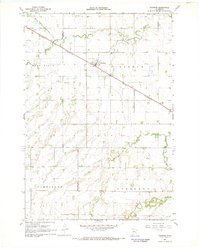 1967 Taunton1968 Print · USGSTaunton and the surrounding farm country on the Lincoln-Lyon county line are captured in the late sixties. Genealogists and local historians can locate rural landmarks such as Hemnes Ch and follow the Chicago and North Western rail line through Eidsvold.
 - 1985 Map of Clear Lake
 1985 Clear Lake1985 Print · USGSThe South Dakota and Minnesota borderlands are captured here in the mid-eighties as a landscape of prairie towns and wildlife refuges. Researchers can trace the legacy of regional transport through the Chicago and North Western tracks and the Old Railroad Grade.2 unique versions available
 - 2010 Map of Taunton, 2010 Print
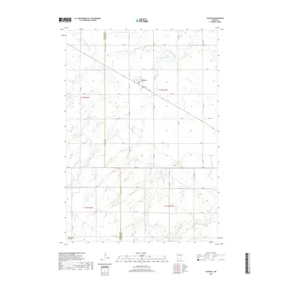
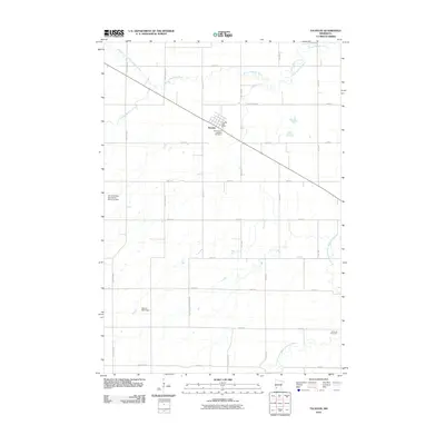 2010 Taunton2010 Print · USGSCovers Taunton, including Lyon County, Lincoln County, and other nearby areas
 - 2013 Map of Taunton, 2013 Print
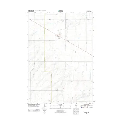 2013 Taunton2013 Print · USGSCovers Taunton, including Lyon County, Lincoln County, and other nearby areas
 - 2016 Map of Taunton, 2016 Print
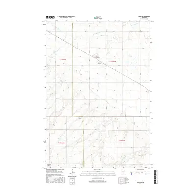 2016 Taunton2016 Print · USGSCovers Taunton, including Lyon County, Lincoln County, and other nearby areas
 - 2019 Map of Taunton, 2019 Print
 2019 Taunton2019 Print · USGSCovers Taunton, including Lyon County, Lincoln County, and other nearby areas
 - 2022 Map of Taunton, 2022 Print
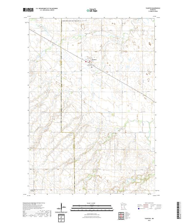 2022 Taunton2022 Print · USGSThe borderlands of Lyon and Lincoln Counties are captured here in the early twenty-first century, centered on the village of Taunton. Researchers can trace the local cemetery at Old Taunton Catholic Cem and follow the path of the Yellow Medicine River through the prairie.
End of results
Showing maps 1-9 of 9
Top cities near Taunton
- Marshall historical maps
- Canby historical maps
- Minneota historical maps
- Ivanhoe historical maps
- Lynd historical maps
- Ghent historical maps
See more
Frequently asked questions
- What are the different types of historical maps available for Taunton?
- What is the oldest map of Taunton?
- Where can I purchase historical maps of Taunton for my home or office?
- Where can I download high-res historical maps of Taunton?
- Are there historical topographic maps available for Taunton?
- Is there historical aerial imagery available for Taunton?
- Where are historical maps of Taunton sourced from?