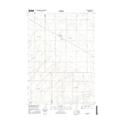
2016 Map of Taunton
USGS Topo · Published 2016About this map
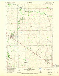
Taunton sits at the center of this agricultural landscape in Lyon County, where the prairie begins its rise toward the Coteau des Prairies in the southwest corner. The drainage pattern is defined by the Yellow Medicine River and its various tributaries, including the N Br Yellow Medicine River and the S Br Yellow Medicine River, which carve subtle paths through the grid of section lines and rural roads. For those tracing local heritage, the Old Taunton Catholic Cem serves as a significant landmark just southeast of the main settlement. The map illustrates the persistent structure of the public land survey system, with townships like t113n r43w and t112n r43w providing the framework for the area's steady rural character and road network, including routes like Co Rd 55 and Co Rd 17.
Find a feature on this map
26 named features on this map. Tap any name to fly to it.
Don’t see what you’re looking for? This feature index may not catch every label — zoom into the map to look around manually.
Map Details
Editions of this 2016 Taunton Map
This is the sole edition of this map. No revisions or reprints were ever made.
Other maps of this area

1953 · Watertown
USGS Topo · 1:250,000
1953 · New Ulm
USGS Topo · 1:250,000
1957 · New Ulm
USGS Topo · 1:250,000
1958 · New Ulm
USGS Topo · 1:250,000

1958 · Watertown
USGS Topo · 1:250,000
1963 · Gislason Lake
USGS Topo · 1:24,000
1963 · Lynd
USGS Topo · 1:24,000
1963 · Arco
USGS Topo · 1:24,000
1967 · New Ulm
USGS Topo · 1:250,000
1967 · Minneota
USGS Topo · 1:24,000