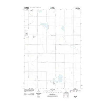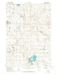
1963 Map of Arco
USGS Topo · Published 1964About this map
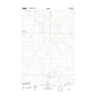
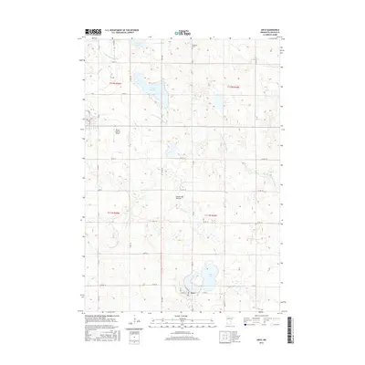
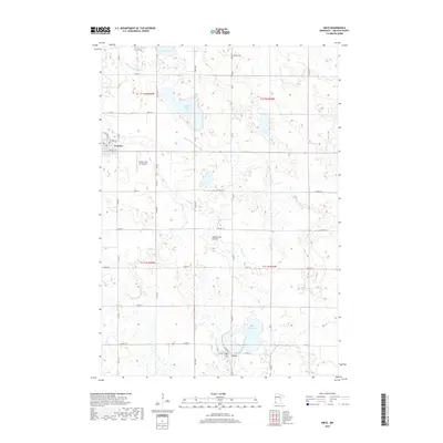
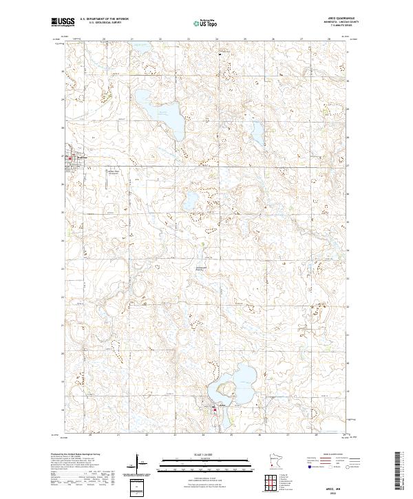
Ivanhoe and Arco anchor this Lincoln County landscape, centered on the Chicago and North Western railroad corridor in the early 1960s. The region is characterized by its glacial topography, featuring numerous basins and complex water management through systems like County Ditch No 37 and Judicial Ditch No 29. Settlement patterns follow the rail line and the prairie terrain, with small clusters like Wilno and the Icelandic Ch serving the rural population. The hydrological character of the area is defined by the winding South Branch Yellow Medicine River and several significant lakes, including Lake Stay and Dietz Lake. At Lake Stay, the Community Park marks a transition toward recreational land use amidst the surrounding agricultural townships of Royal, Limestone, Ash Lake, and Lake Stay. Numerous gravel pits dot the map, indicating the local mineral extraction that supported the area's roads and infrastructure.
Find a feature on this map
20 named features on this map. Tap any name to fly to it.
Don’t see what you’re looking for? This feature index may not catch every label — zoom into the map to look around manually.
Map Details
Editions of this 1963 Arco Map
This is the sole edition of this map. No revisions or reprints were ever made.
Historical Maps of Ivanhoe Through Time
6 maps found