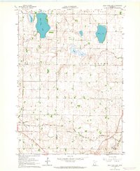
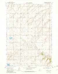
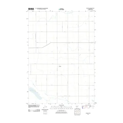
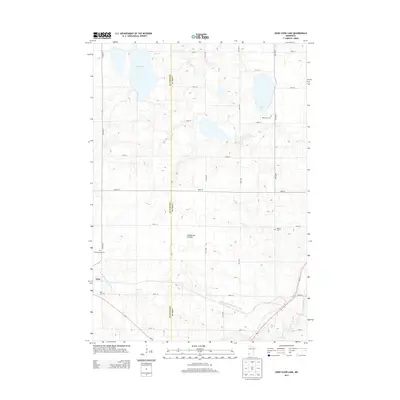
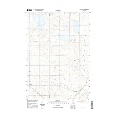
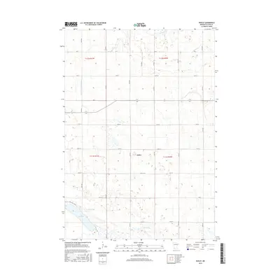
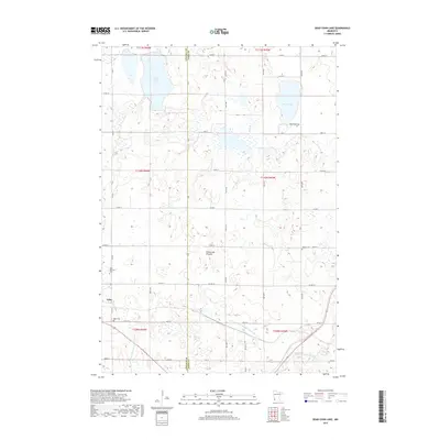
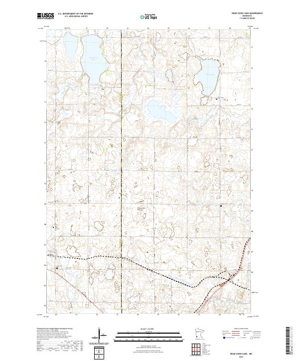
1963 Map of Dead Coon Lake
USGS Topo · Published 1964About this map
The town of Tyler sits at the intersection of rail and road in this 1963 survey of the Minnesota prairie. The landscape is defined by the Chicago and North Western railway, which cuts across the southwestern corner and skirts the southern edges of Hope and Shelburn e townships. This era shows a heavily managed hydrological system, with Judicial Ditch No 31, Jud Ditch No 29, and Co Ditch No 7 draining the land toward the Redwood River and Coon Creek. These features reflect the mid-century agricultural necessity of diverting water from the region's numerous glacial basins, including Dead Coon Lake, Lake Stay, and Wood Lake. Genealogists will find the locations of local burials well-marked at St Dionysius Cem, Hope Cem, and Mission Cem, while industrial activity is noted at a local Gravel Pit.
Find a feature on this map
20 named features on this map. Tap any name to fly to it.
Don’t see what you’re looking for? This feature index may not catch every label — zoom into the map to look around manually.
Map Details
Editions of this 1963 Dead Coon Lake Map
This is the sole edition of this map. No revisions or reprints were ever made.
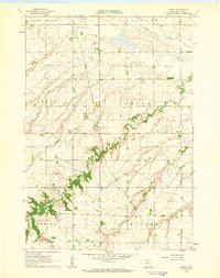
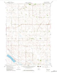
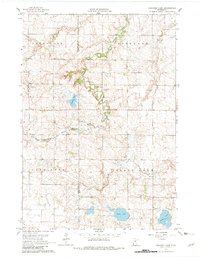
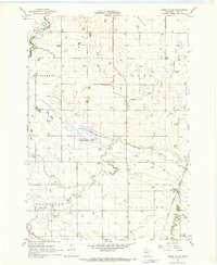
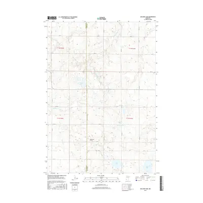
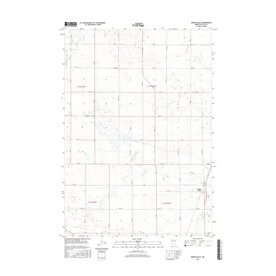
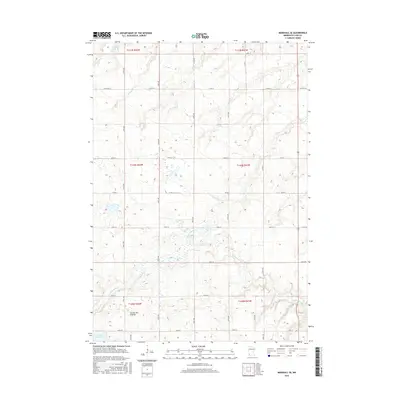
Historical Maps of Tyler Through Time
36 maps found
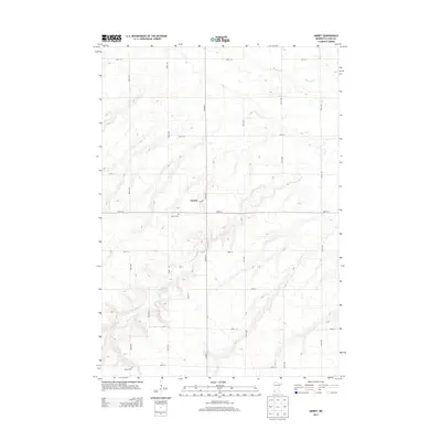
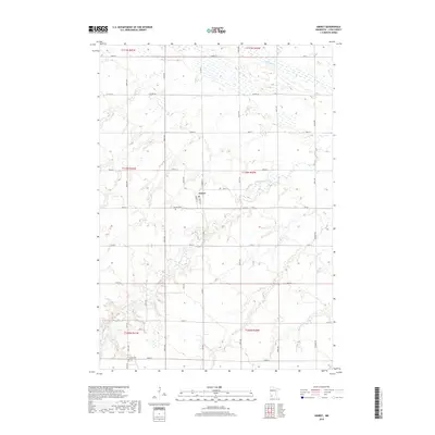
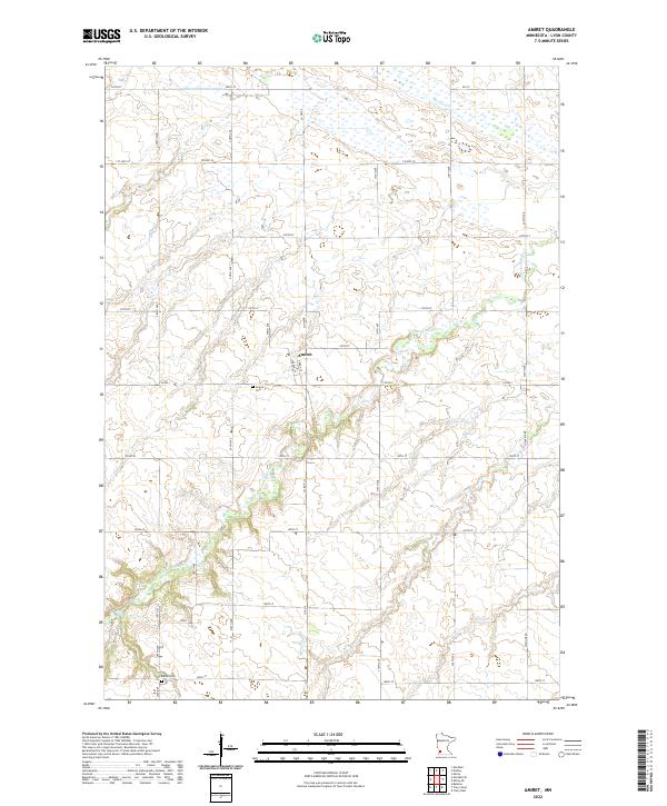
1962 Amiret
Lyon County, MN
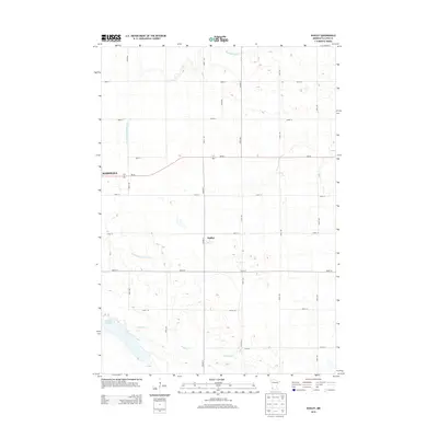
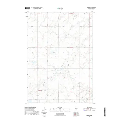
1962 Dudley
Lyon County, MN
1963 Dead Coon Lake
Lyon County, MN
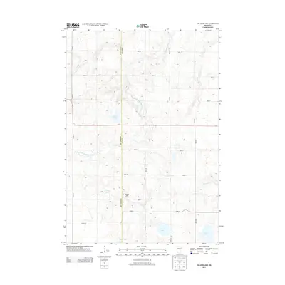
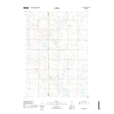
1963 Gislason Lake
Lyon County, MN
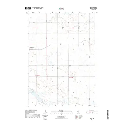
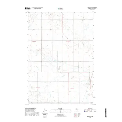
1963 Marshall SE
Lyon County, MN
1967 Green Valley
Lyon County, MN
2010 Amiret
Lyon County, MN
2010 Dead Coon Lake
Lyon County, MN
2010 Dudley
Lyon County, MN
2010 Gislason Lake
Lyon County, MN
2010 Green Valley
Lyon County, MN
2010 Marshall SE
Lyon County, MN
2013 Amiret
Lyon County, MN
2013 Dead Coon Lake
Lyon County, MN
2013 Dudley
Lyon County, MN
2013 Gislason Lake
Lyon County, MN
2013 Green Valley
Lyon County, MN
2013 Marshall SE
Lyon County, MN
2016 Amiret
Lyon County, MN
2016 Dead Coon Lake
Lyon County, MN
2016 Dudley
Lyon County, MN
2016 Gislason Lake
Lyon County, MN
2016 Green Valley
Lyon County, MN
2016 Marshall SE
Lyon County, MN
2019 Amiret
Lyon County, MN
2019 Dead Coon Lake
Lyon County, MN
2019 Dudley
Lyon County, MN
2019 Gislason Lake
Lyon County, MN
2019 Green Valley
Lyon County, MN
2019 Marshall SE
Lyon County, MN
2022 Amiret
Lyon County, MN
2022 Dead Coon Lake
Lyon County, MN
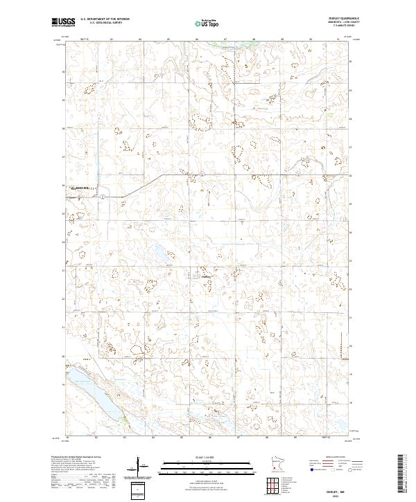
2022 Dudley
Lyon County, MN
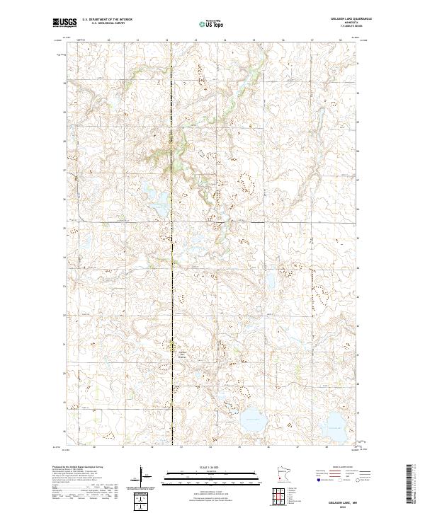
2022 Gislason Lake
Lyon County, MN
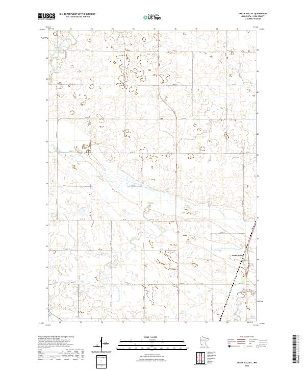
2022 Green Valley
Lyon County, MN
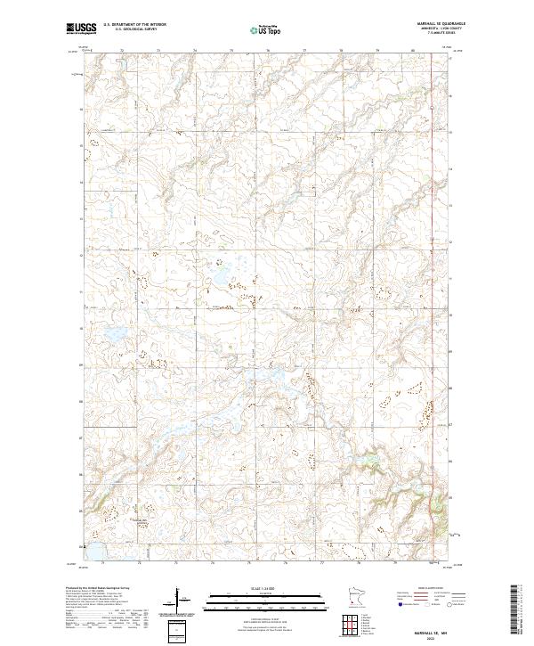
2022 Marshall SE
Lyon County, MN