
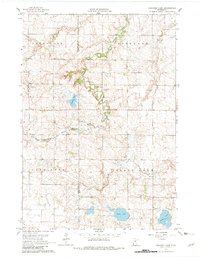
1963 Map of Gislason Lake
USGS Topo · Published 1964About this map
The boundary between Lincoln and Lyon counties bisects a landscape defined by the winding course of the Yellow Medicine River. In the early 1960s, this region was characterized by township divisions including Limestone, Nordland, Lake Stay, and Island Lake. The terrain is marked by a high density of Gravel Pits, indicating the local importance of aggregate extraction for road and infrastructure development during this era.
Find a feature on this map
14 named features on this map. Tap any name to fly to it.
Don’t see what you’re looking for? This feature index may not catch every label — zoom into the map to look around manually.
Map Details
Editions of this 1963 Gislason Lake Map
2 editions found
Other maps of this area

1953 · Watertown
USGS Topo · 1:250,000

1953 · New Ulm
USGS Topo · 1:250,000

1957 · New Ulm
USGS Topo · 1:250,000

1958 · New Ulm
USGS Topo · 1:250,000

1958 · Watertown
USGS Topo · 1:250,000

1963 · Dead Coon Lake
USGS Topo · 1:24,000

1963 · Russell
USGS Topo · 1:24,000

1963 · Tyler
USGS Topo · 1:24,000

1963 · Lynd
USGS Topo · 1:24,000

1963 · Arco
USGS Topo · 1:24,000