
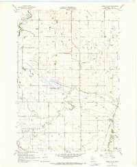
1967 Map of Minneota
USGS Topo · Published 1968About this map
The Chicago and North Western railroad corridor dictates the settlement pattern of this Lyon County landscape, linking the hubs of Minneota and Ghent. To the north, the Yellow Medicine River and its South Branch carve a winding course through the prairie, contrasting with the rigid geometry of drainage works like Judicial Ditch No 7. This mid-century survey reveals a community deeply rooted in its local heritage, evidenced by numerous faith-based landmarks such as the Icelandic Cem and St Edwards Cem. The southern portion of the map is dominated by the Grandview State Wildlife Management Area, while the surrounding townships of Eidsvold, Westerheim, Nordland, and Grandview are dotted with small-scale industry like Gravel Pits and essential local infrastructure including Storage Bins and a Gaging Sta.
Find a feature on this map
25 named features on this map. Tap any name to fly to it.
Don’t see what you’re looking for? This feature index may not catch every label — zoom into the map to look around manually.
Map Details
Editions of this 1967 Minneota Map
This is the sole edition of this map. No revisions or reprints were ever made.
Other maps of this area

1953 · Watertown
USGS Topo · 1:250,000

1953 · New Ulm
USGS Topo · 1:250,000

1957 · New Ulm
USGS Topo · 1:250,000

1958 · New Ulm
USGS Topo · 1:250,000

1958 · Watertown
USGS Topo · 1:250,000

1963 · Gislason Lake
USGS Topo · 1:24,000

1963 · Lynd
USGS Topo · 1:24,000

1963 · Marshall
USGS Topo · 1:24,000

1967 · New Ulm
USGS Topo · 1:250,000
1967 · Green Valley
USGS Topo · 1:24,000