
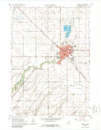
1963 Map of Marshall
USGS Topo · Published 1964About this map
The Marshall municipal area dominates this mid-century survey, revealing a landscape transitioning through infrastructure projects and mid-century growth. The Redwood River meanders across the territory, diverted north of the city center by a Diversion Canal designed to manage the watershed's flow through the town. This era shows the local economy and social fabric anchored by the Chicago and North Western and Great Northern railroads, which intersect near the heart of the city near the Courthouse and Po.
Find a feature on this map
30 named features on this map. Tap any name to fly to it.
Don’t see what you’re looking for? This feature index may not catch every label — zoom into the map to look around manually.
Map Details
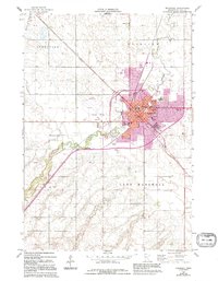
Editions of this 1963 Marshall Map
3 editions found
Other maps of this area

1953 · New Ulm
USGS Topo · 1:250,000

1957 · New Ulm
USGS Topo · 1:250,000

1958 · New Ulm
USGS Topo · 1:250,000

1962 · Dudley
USGS Topo · 1:24,000

1962 · Cottonwood
USGS Topo · 1:24,000

1962 · Amiret
USGS Topo · 1:24,000

1963 · Russell
USGS Topo · 1:24,000

1963 · Lynd
USGS Topo · 1:24,000

1963 · Marshall SE
USGS Topo · 1:24,000

1967 · New Ulm
USGS Topo · 1:250,000