Old Maps of Gatzke, Minnesota for Academic Research
Study the evolution of Gatzke with 12 high-resolution historic maps. Whether you're teaching, researching, or modeling changes in land use, these maps provide essential visual documentation of urban, environmental, and geographic change.
- Analyze long-term change: Track patterns in development, transportation, and natural features.
- Ideal for environmental or urban studies: Support academic projects with primary historical map data.
- Use in the classroom or lab: Educators and researchers rely on these maps to bring historical context to life.
These maps are a powerful tool for teaching, research, and visualizing how Gatzke has changed over the decades.
Gatzke, MN maps
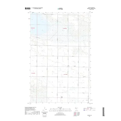
(12)- 1918 Map of Rollis
 1918 Rollis1918 Print · USGSMarshall County's northern wetlands are documented here just after the war, showing a landscape defined by drainage projects and new settlements. Genealogists can locate family ties at Gatzke, Jonstad, or the Town Hall near Rollis, while tracing the Old Indian Reservation Boundary Line.
 - 1943 Map of Rollis
 1943 Rollis1943 Print · USGSMarshall County's rural townships are documented here during the first half of the twentieth century, showing a landscape defined by drainage engineering and early settlement. Researchers can trace family roots through numerous schools and churches or locate original township sites like Gatzke, Jonstad, and the Old Indian Reservation Boundary Line.
 - 1954 Map of Roseau, 1969 Print
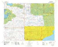
 1954 Roseau1969 Print · USGSNorthern Minnesota's borderlands come alive in the 1950s, showing a landscape defined by timber, water, and rail. Trace family roots through old schools and cemeteries near Roseau, Warroad, and the expansive Red Lake Indian Reservation.2 unique versions available
 - 1957 Map of Roseau
 1957 Roseau1957 Print · USGSThe international border and tribal lands define Northern Minnesota in the mid-fifties, from the shores of Lake of the Woods to the Red Lake Indian Reservation. Researchers can trace the path of the Great Northern railroad and locate isolated outposts like the U S Custom House and Ponemah.
 - 1958 Map of Roseau
 1958 Roseau1958 Print · USGSNorthern Minnesota's borderlands and vast lake country are captured here in the late fifties. Researchers can trace the Canadian National rail line through Warroad or find family history in frontier settlements like Baudette, Waskish, and Shotley.
 - 1962 Map of Gatzke, 1964 Print
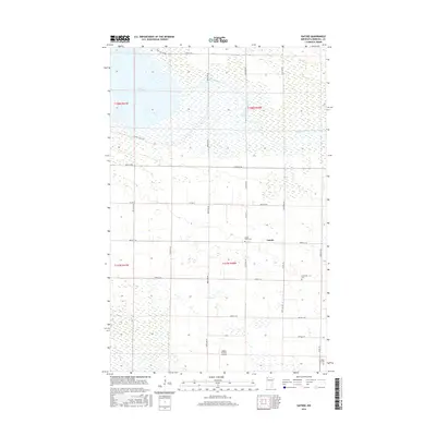
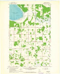 1962 Gatzke1964 Print · USGSMarshall County in the early 1960s was a landscape defined by its vast wetlands and small rural settlements. Researchers can locate family burial sites at Moose River Cem and Lundstad Cem or trace the early boundaries of Gatzke and the Thief Lake shoreline.2 unique versions available
 - 1977 Map of Grygla, 1978 Print
 1977 Grygla1978 Print · USGSNorthern Minnesota in the late seventies is a landscape of expansive state forests and managed wetlands. Genealogists and historians can trace the remote outposts of Malcolm, Four Town, and Erie or locate family landmarks near Randeen Ridge and Thief Lake.
 - 2010 Map of Gatzke, 2010 Print
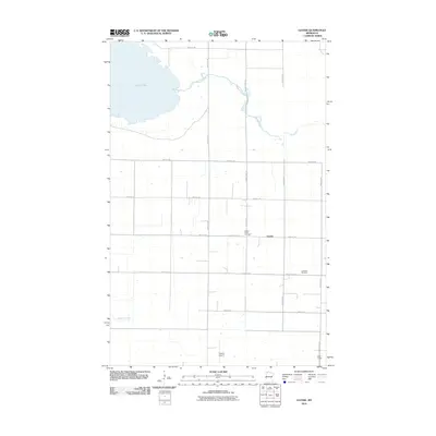 2010 Gatzke2010 Print · USGSCovers Gatzke, including Marshall County, United States, and other nearby areas
 - 2013 Map of Gatzke, 2013 Print
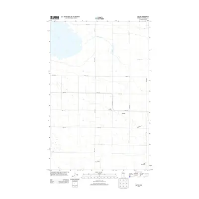 2013 Gatzke2013 Print · USGSCovers Gatzke, including Marshall County, United States, and other nearby areas
 - 2016 Map of Gatzke, 2016 Print
 2016 Gatzke2016 Print · USGSCovers Gatzke, including Marshall County, United States, and other nearby areas
 - 2019 Map of Gatzke, 2019 Print
 2019 Gatzke2019 Print · USGSCovers Gatzke, including Marshall County, United States, and other nearby areas
 - 2022 Map of Gatzke, 2022 Print
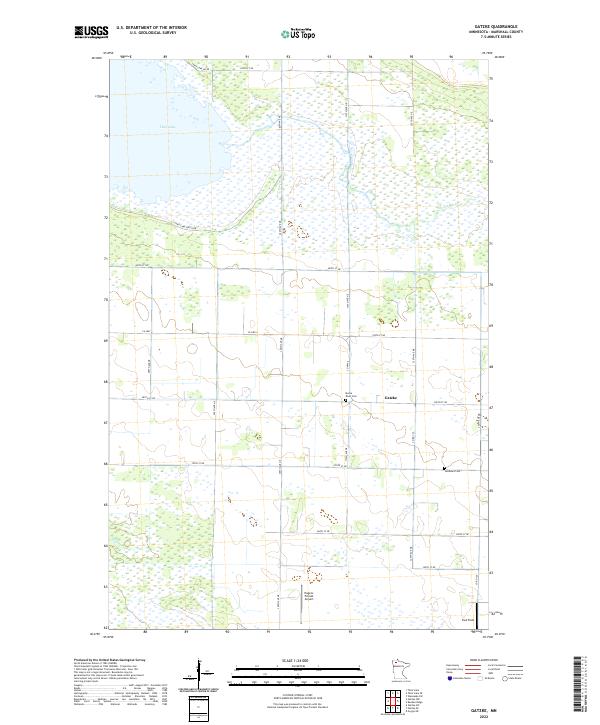 2022 Gatzke2022 Print · USGSMarshall County's rural landscape at the edge of the northern wetlands comes to life in this survey. Genealogists and historians can locate family burial sites at Moose River Cem and Lundsted Cem or trace the drainage paths of Thief Lake.
End of results
Showing maps 1-12 of 12
Top cities near Gatzke
Frequently asked questions
- What are the different types of historical maps available for Gatzke?
- What is the oldest map of Gatzke?
- Where can I purchase historical maps of Gatzke for my home or office?
- Where can I download high-res historical maps of Gatzke?
- Are there historical topographic maps available for Gatzke?
- Is there historical aerial imagery available for Gatzke?
- Where are historical maps of Gatzke sourced from?