Old Maps of Newfolden, Minnesota for Genealogy
Trace your family roots with 13 historic maps of Newfolden. These high-res maps reveal old neighborhoods, homesites, landmarks, and streets — helping you uncover where your ancestors lived and how the area evolved over time.
- Explore historic neighborhoods: Identify where your relatives may have lived in the 1800s or 1900s.
- Compare maps over time: Trace the changes in streets, buildings, and landmarks for multi-generational research.
- Perfect for genealogy & ancestry research: Used by family historians and researchers to map out lineage and migration.
These maps are an incredible resource for exploring your personal connection to Newfolden's past.
Newfolden, MN maps
(13)- 1952 Map of Thief River Falls, 1967 Print
 1952 Thief River Falls1967 Print · USGSThe Red River Valley's agricultural and conservation landscape is captured in the mid-1950s, detailing a web of rail lines and international border crossings. Researchers can trace family roots in towns like Thief River Falls, locate the State School for Blind, and survey landmarks like the Agassiz National Wildlife Refuge.2 unique versions available
 - 1956 Map of Thief River Falls
 1956 Thief River Falls1956 Print · USGSThe Red River Valley in the mid-1950s is captured here as a sprawling network of rail corridors and wildlife refuges along the Canadian border. Trace the vanished transport routes of the Dismantled railroad and Abandoned railroad or locate local landmarks like the Herrick Elevator and State School for Blind.
 - 1957 Map of Thief River Falls
 1957 Thief River Falls1957 Print · USGSThe Red River Valley in the mid-fifties is captured here as a thriving network of rail towns and conservation lands. Genealogists and historians can trace family roots through settlements like Grafton, Pembina, and Hallock, or locate landmarks such as the State School for Blind and the Great Northern RR corridor.
 - 1957 Map of Newfolden, 1958 Print
 1957 Newfolden1958 Print · USGSThe grain-growing plains of Marshall County come alive in the late fifties, centered on the railroad towns of Newfolden and Strandquist. Genealogists can trace family roots through numerous local landmarks, including Mamrelund Ch, Oak Grove Cem, and Edgewood Sch.2 unique versions available
 - 1967 Map of Thief River Falls
 1967 Thief River Falls1967 Print · USGSThe Red River Valley and the international border come alive in the 1960s, showing a landscape shaped by major rail lines and river commerce. Genealogists and historians can trace the paths of the Great Northern and Soo Line through towns like Thief River Falls, Grafton, and Hallock.
 - 1982 Map of Newfolden
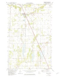 1982 Newfolden1982 Print · USGSThe town of Newfolden and the surrounding Marshall County prairie are documented here during the early eighties. Genealogists and local historians can trace family ties at Augustana Cem, Westaker Cem, and the rural Bethlehem Ch.
 - 1985 Map of Thief River Falls
 1985 Thief River Falls1985 Print · USGSNorthwestern Minnesota’s agricultural heartland is captured here in the mid-eighties, showing the transition from drainage-dependent farmlands to vast wildlife refuges. Trace the Burlington Northern rail lines through Warren and Stephen, or locate family landmarks near Dakota Junction and Carpenters Corner.
 - 1992 Map of Thief River Falls
 1992 Thief River Falls1992 Print · USGSThe Red River Valley's agricultural heartland is documented here in the early nineties, showing the vital rail and river networks of Marshall and Pennington counties. Researchers can trace family ties and vanished homesteads near St Hilaire, Strandquist, and the Agassiz National Wildlife Refuge.
 - 2010 Map of Newfolden, 2010 Print
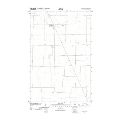 2010 Newfolden2010 Print · USGSNewfolden and the surrounding Marshall County prairies are shown here in the early twenty-first century as a well-ordered agricultural landscape. Genealogists can locate several family and community burial sites, including Augustana Cemetery, Bjorsness Cemetery, and Folden Cemetery.
 - 2013 Map of Newfolden, 2013 Print
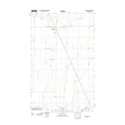 2013 Newfolden2013 Print · USGSNewfolden and the surrounding Marshall County prairie are shown here in the early twenty-first century, illustrating the enduring agricultural grid of northern Minnesota. Researchers can trace numerous local burial sites like Westaker Cem, Sorenson Cem, and Bjorsness Cem that dot the landscape along the Middle River.
 - 2016 Map of Newfolden, 2016 Print
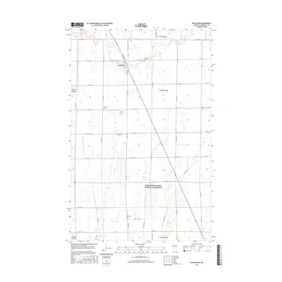 2016 Newfolden2016 Print · USGSNewfolden and its surrounding prairie landscape are shown here in the mid-2010s, defined by the Middle River and a dense network of country roads. Researchers can locate numerous family and local landmarks, including Oak Grove Cem, Bethlehem Cem, and Sorenson Cem.
 - 2019 Map of Newfolden, 2019 Print
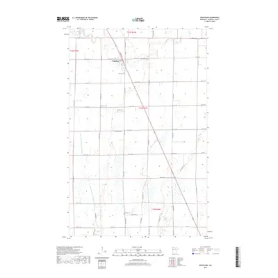 2019 Newfolden2019 Print · USGSNewfolden and the surrounding Marshall County prairies are shown in this 2010s survey, documenting the area's agricultural and burial history. Researchers can locate numerous family and church sites including Augustana Cem, Sorenson Cem, and Bethlehem Cem.
 - 2022 Map of Newfolden, 2022 Print
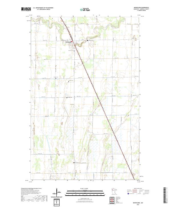 2022 Newfolden2022 Print · USGSNewfolden and its surrounding prairie townships are captured here at the start of the 2020s, showing a landscape defined by water and rail. Family historians can locate numerous burial sites including Augustana Cem, Sorenson Cem, and Bethlehem Cem along the Middle River.
End of results
Showing maps 1-13 of 13
Top cities near Newfolden
- Thief River Falls historical maps
- Karlstad historical maps
- Middle River historical maps
- Foldahl historical maps
- Viking historical maps
- Holt historical maps
See more
Frequently asked questions
- What are the different types of historical maps available for Newfolden?
- What is the oldest map of Newfolden?
- Where can I purchase historical maps of Newfolden for my home or office?
- Where can I download high-res historical maps of Newfolden?
- Are there historical topographic maps available for Newfolden?
- Is there historical aerial imagery available for Newfolden?
- Where are historical maps of Newfolden sourced from?