2020s Maps of Mille Lacs County, Minnesota
Explore 21 historic maps of Mille Lacs County from the 2020s. These maps offer a rare glimpse into what life looked like during the 2020s — showing old roads, neighborhoods, homes, and landmarks that have changed or disappeared over time.
Whether you're researching your family's past, planning a metal detecting trip, or studying how Mille Lacs County's landscape evolved across the 2020s, these high-resolution maps are a powerful tool for exploring the history of this region.
- Focus on a specific era: All maps on this page are from the 2020s, giving you a focused view of this time period.
- See what’s changed: Compare century-old streets, trails, and buildings to today's modern landscape using overlays and satellite layers.
- Research with precision: Use these maps for genealogy, historical research, land use analysis, or educational projects.
- View, download, or print: Maps are fully viewable online in high resolution, and can be downloaded or printed for your own records.
Start exploring Mille Lacs County's history through authentic maps from the 2020s. This is your window into the past.
Mille Lacs County, MN maps
(21)- 2022 Map of Princeton, 2022 Print
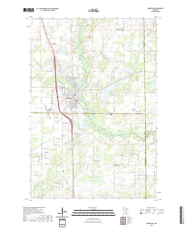 2022 Princeton2022 Print · USGSThe Princeton area at the meeting of three counties shows a landscape defined by the winding Rum River and established rural communities. Researchers can trace family roots at sites like Ebenezer German Methodist Cem or explore the early layouts of Brickton and Princeton.
 - 2022 Map of Princeton NE, 2022 Print
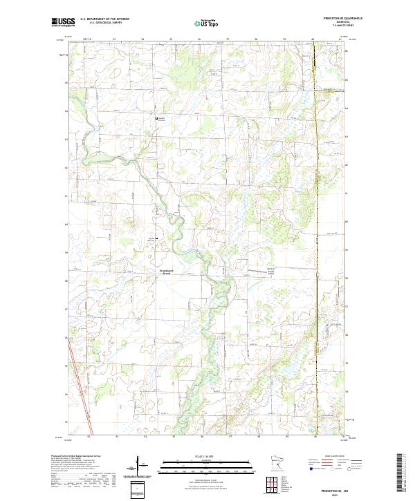 2022 Princeton NE2022 Print · USGSMille Lacs and Kanabec counties are captured in the early 2020s, showing a landscape of river valleys and rural homesteads. Trace local family history and landmarks like Wendell Hill Cem, the settlement of Woodward Brook, and the winding path of the Rum River.
 - 2022 Map of Princeton SW, 2022 Print
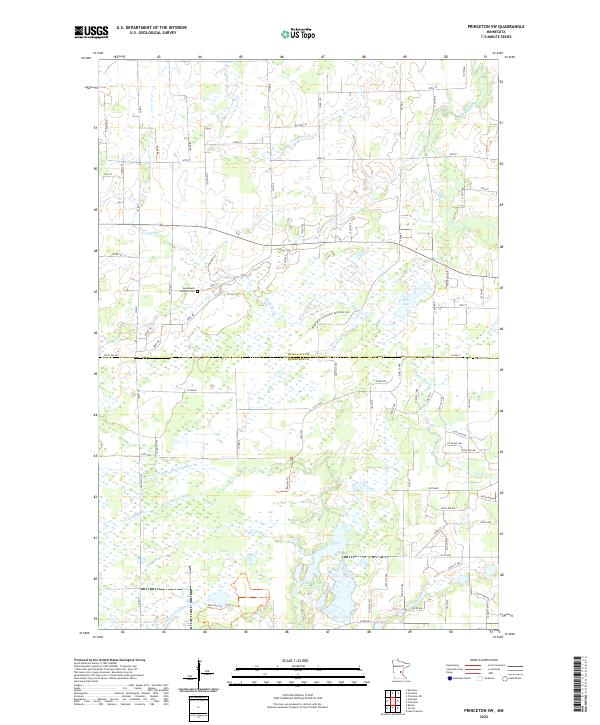 2022 Princeton SW2022 Print · USGSMille Lacs and Sherburne Counties are mapped here in the early 2020s, showing a rural landscape defined by its wetlands and river systems. Genealogists and local researchers can locate the Greenbush Catholic Cem and trace the paths of the Saint Francis River and Rice Lake.
 - 2022 Map of Santiago, 2022 Print
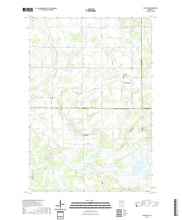 2022 Santiago2022 Print · USGSThe rural borderlands of Benton and Sherburne counties are documented here in the early twenty-first century. Researchers can trace family roots through several local landmarks like Santiago Cem, Saint Francis Cem, and Oak Hill Cem.
 - 2022 Map of Rum River, 2022 Print
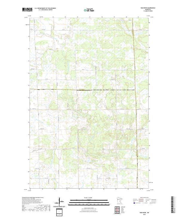 2022 Rum River2022 Print · USGSBenton and Morrison counties are documented here in the early twenty-first century, showing a landscape defined by water and wetlands. Researchers can trace the winding paths of the W Br Rum River and Saint Francis River alongside rural routes like Nature Rd.
 - 2022 Map of Milaca NE, 2022 Print
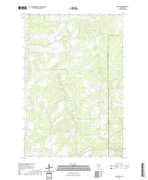 2022 Milaca NE2022 Print · USGSMille Lacs and Kanabec counties are shown here in the early twenty-first century, featuring a landscape of expansive wetlands and river forks. Researchers can trace the drainage of the Groundhouse River and find local landmarks like Mikkelson Pool and Cranberry Lake.
 - 2022 Map of Page, 2022 Print
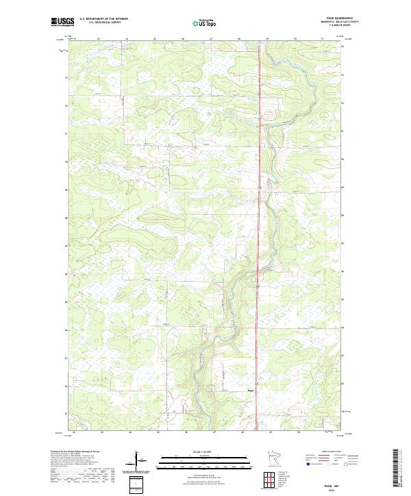 2022 Page2022 Print · USGSMille Lacs County in the early 2020s remains a landscape defined by its wetlands and the winding course of the Rum River. Genealogists and local historians can trace the rural network around Page and the banks of Robinson Brook or Burnt Lane Brook.
 - 2022 Map of Bock, 2022 Print
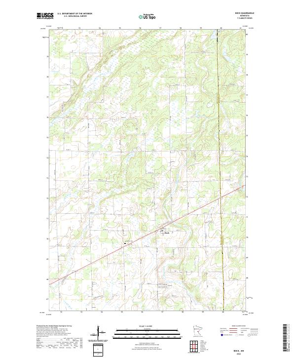 2022 Bock2022 Print · USGSBock and the surrounding wetlands of Mille Lacs County appear in clear detail during the early 2020s. Researchers can locate family sites near the Borgholm Cem or trace the winding paths of the Groundhouse River and Mike Drews Brook.
 - 2022 Map of Ronneby, 2022 Print
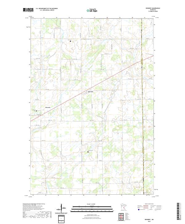 2022 Ronneby2022 Print · USGSBenton County farmland and river wetlands are captured here in the early 2020s. Genealogists can trace family burial sites at Riverside Cem and Maywood Cem or locate properties near Ronneby and Oak Park.
 - 2022 Map of Milaca, 2022 Print
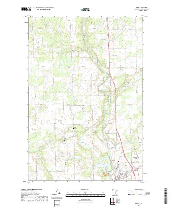 2022 Milaca2022 Print · USGSMilaca and the winding Rum River valley are captured in this modern survey of central Minnesota. Genealogists and local researchers can locate burials at Forest Hill Cem or Chase Brook Cem and trace the paths of Tibbetts Brook and Whitney Brook through the landscape.
 - 2022 Map of Hillman SE, 2022 Print
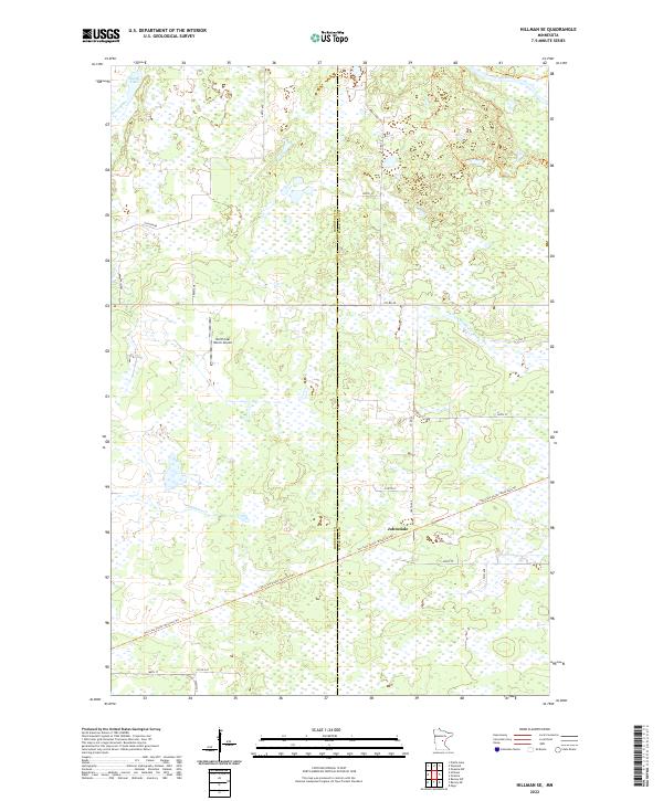 2022 Hillman SE2022 Print · USGSMorrison and Mille Lacs counties meet in this wetland-rich landscape during the early twenty-first century. Researchers can trace the repurposed rail corridors of the Soo Line South trails and locate the settlement of Johnsdale.
 - 2022 Map of Ramey NE, 2022 Print
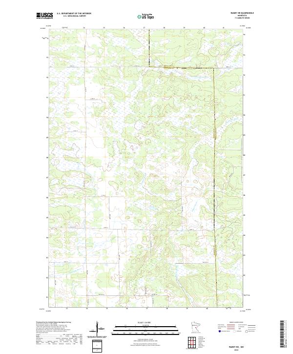 2022 Ramey NE2022 Print · USGSMorrison and Mille Lacs counties are shown here in the early twenty-first century, revealing a landscape dominated by complex wetland systems. Researchers can trace the drainage of Tibbetts Brook, the W Br Rum River, and S Fork Bradbury Brook across a rural grid of roads like Sage Rd.
 - 2022 Map of Ann Lake, 2022 Print
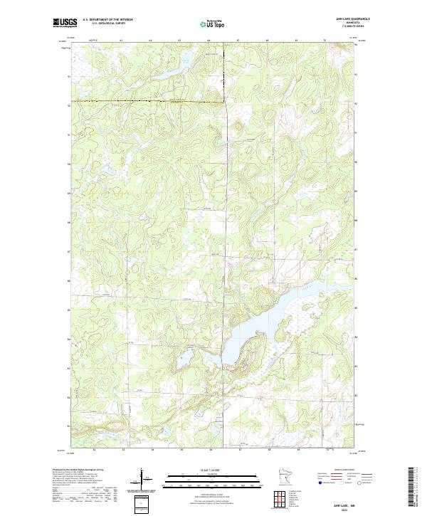 2022 Ann Lake2022 Print · USGSKanabec County's wetland-rich interior is documented here in the early 2020s, showing a landscape shaped by the Ann River system. Researchers can trace the water levels of Dewitt Pool or locate rural access points along Forest Shores Rd and Co Rd 6.
 - 2022 Map of Foreston, 2022 Print
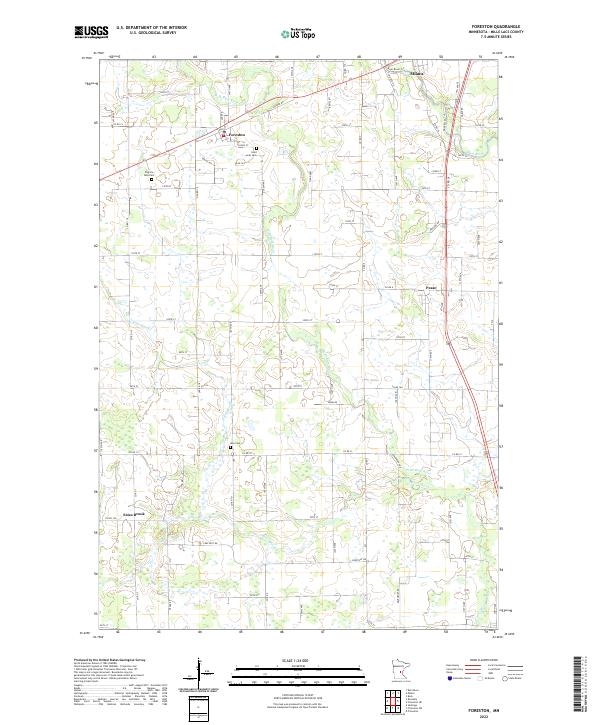 2022 Foreston2022 Print · USGSThe townships of Mille Lacs County appear in clear detail here in 2022, showcasing the rural road networks and wetlands of the upper Midwest. Family historians can locate ancestral plots at Saint Louis Cem, Pilgrims Rest Cem, or near the settlement of Pease.
 - 2022 Map of Isle, 2022 Print
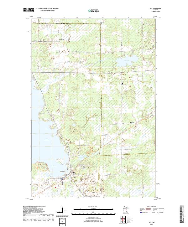 2022 Isle2022 Print · USGSThe southeastern shore of Mille Lacs Lake and the town of Isle are captured here in a period of modern transition. Trace the path of the Soo Line South: Aitkin Trl or locate family roots at Faith Lutheran Cem, Redtop Cem, and Holden Cem.
 - 2022 Map of Wahkon North, 2022 Print
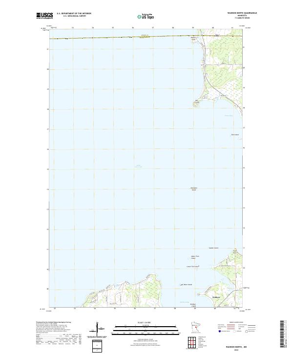 2022 Wahkon North2022 Print · USGSThe southern shores of Mille Lacs Lake come into focus in this contemporary survey of the area around Wahkon. Researchers can trace the modern road networks and coastal landmarks like Hennepin Island, Wahkon Bay, and the residential layouts near Big Point.
 - 2022 Map of Vineland, 2022 Print
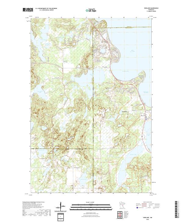 2022 Vineland2022 Print · USGSVineland and the western reaches of Mille Lacs Lake are documented here in the early twenty-first century. Genealogists and local historians can trace shoreline developments and interior landmarks like Lakewood Cem, Ogechie Lake, and the historic Pine Center Trl.
 - 2022 Map of Wahkon South, 2022 Print
 2022 Wahkon South2022 Print · USGSThe southern shores of Mille Lacs Lake are captured here in the early 2020s, showing the intersection of lakefront settlements and recreational trails. Genealogists and local historians can trace the Soo Line South: Mille Lacs Trl past Foster Cem and through the community of Wahkon.
 - 2022 Map of Isle SW, 2022 Print
 2022 Isle SW2022 Print · USGSMille Lacs and Kanabec counties meet in this wetland landscape during the early 2020s. Genealogists and local historians can trace the meandering Knife River and Little Ann River alongside rural routes like Old Hwy 66 and Co Rd 15.
 - 2022 Map of Onamia, 2022 Print
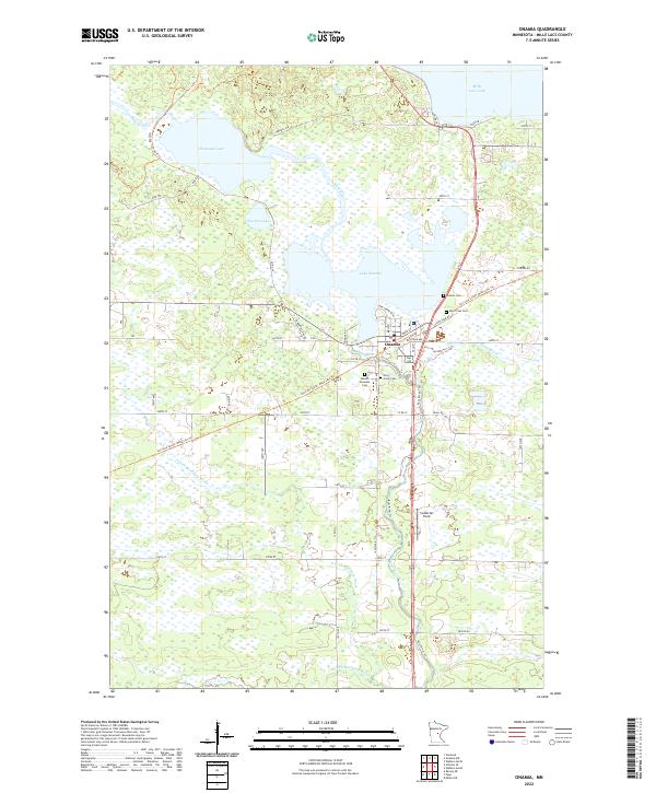 2022 Onamia2022 Print · USGSThe Mille Lacs lake country is captured here during the early 2020s, centered on the historic rail corridor and river headwaters. Researchers can trace local lineage at Crosier Cemetery or follow the legacy of the railroad along the Soo Line South: Mille Lacs Trail.
 - 2022 Map of Onamia NW, 2022 Print
 2022 Onamia NW2022 Print · USGSThe southwestern reaches of Mille Lacs Lake are captured here in the early twenty-first century, highlighting a landscape defined by water and woods. Local researchers can trace lakeside development around Indian Point and locate landmarks like Spirit Island and Tamarac Lake.
End of results
Showing maps 1-21 of 21
Top cities of Mille Lacs County
- Milaca historical maps
- Onamia historical maps
- Isle historical maps
- Foreston historical maps
- Wahkon historical maps
- Pease historical maps
See more
Frequently asked questions
- What are the different types of historical maps available for Mille Lacs County?
- What is the oldest map of Mille Lacs County?
- Where can I purchase historical maps of Mille Lacs County for my home or office?
- Where can I download high-res historical maps of Mille Lacs County?
- Are there historical topographic maps available for Mille Lacs County?
- Is there historical aerial imagery available for Mille Lacs County?
- Where are historical maps of Mille Lacs County sourced from?