2010s Maps of Mille Lacs County, Minnesota
Explore 84 historic maps of Mille Lacs County from the 2010s. These maps offer a rare glimpse into what life looked like during the 2010s — showing old roads, neighborhoods, homes, and landmarks that have changed or disappeared over time.
Whether you're researching your family's past, planning a metal detecting trip, or studying how Mille Lacs County's landscape evolved across the 2010s, these high-resolution maps are a powerful tool for exploring the history of this region.
- Focus on a specific era: All maps on this page are from the 2010s, giving you a focused view of this time period.
- See what’s changed: Compare century-old streets, trails, and buildings to today's modern landscape using overlays and satellite layers.
- Research with precision: Use these maps for genealogy, historical research, land use analysis, or educational projects.
- View, download, or print: Maps are fully viewable online in high resolution, and can be downloaded or printed for your own records.
Start exploring Mille Lacs County's history through authentic maps from the 2010s. This is your window into the past.
Mille Lacs County, MN maps
(84)- 2010 Map of Ann Lake, 2010 Print
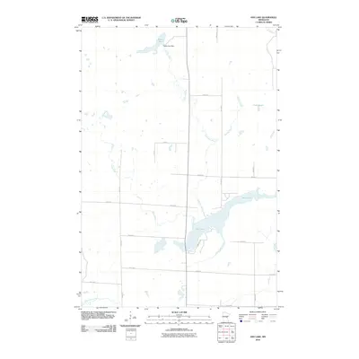 2010 Ann Lake2010 Print · USGSMille Lacs County is captured here in the early 2000s, showing a landscape defined by the drainage of the Ann River and its tributaries. Researchers can trace the rural road grid and identify key water features like the Dewitt Pool Dam and Lake Seven.
 - 2010 Map of Page, 2010 Print
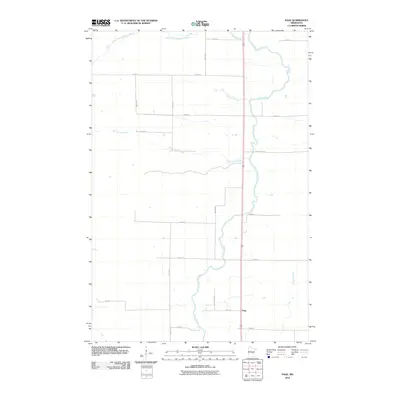 2010 Page2010 Print · USGSPage Township at the end of the first decade of the new millennium shows a rural landscape anchored by the Rum River. Genealogists and local historians can trace property boundaries and access points along Burnt Lane Brook and the small settlement of Page.
 - 2010 Map of Rum River, 2010 Print
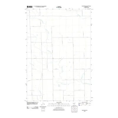 2010 Rum River2010 Print · USGSMille Lacs County is captured in the early 21st century, showing a landscape shaped by its river systems and rural road grids. Researchers can trace the meandering paths of the West Branch Rum River and Saint Francis River alongside historic routes like County Hwy-67.
 - 2010 Map of Princeton NE, 2010 Print
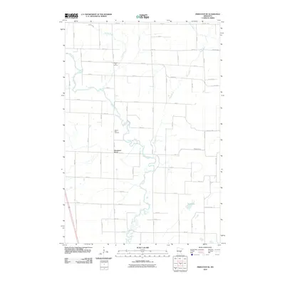 2010 Princeton NE2010 Print · USGSMille Lacs County is documented here in the early twenty-first century as the Rum River winds through a landscape of family homesteads and rural cemeteries. Genealogists can locate Wendell Hill Cemetery and Pilgrims Rest Cemetery amidst the waters of Bogus Brook.
 - 2010 Map of Milaca, 2010 Print
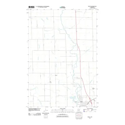 2010 Milaca2010 Print · USGSThe Rum River valley in central Minnesota appears here in the early twenty-first century, showing the settlement of Milaca and its rural surroundings. Genealogists can locate family sites near Chase Brook Cemetery and Forest Hill Cemetery.
 - 2010 Map of Princeton, 2010 Print
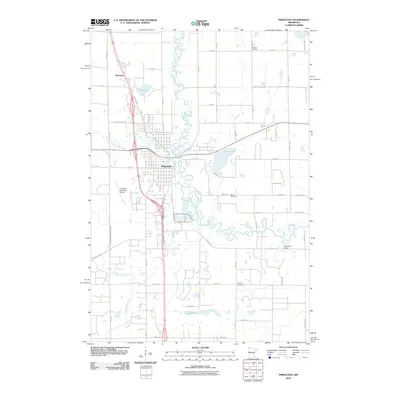 2010 Princeton2010 Print · USGSModern Princeton and its rural outskirts are captured in this 2010 survey as the area balances its riverfront heritage with suburban growth. Researchers can locate burial sites at Ebenezer Cemetery, trace the winding Rum River, and see the layout of the Princeton Municipal Airport.
 - 2010 Map of Ramey NE, 2010 Print
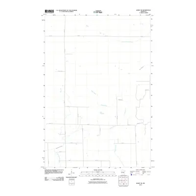 2010 Ramey NE2010 Print · USGSPage Township in the early 2010s remains a landscape defined by its waterways and a quiet rural road network. Genealogists and historians can trace property boundaries along Sage Rd and follow the natural course of Tibbetts Brook or the West Branch Rum River.
 - 2010 Map of Princeton SW, 2010 Print
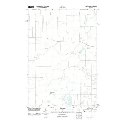 2010 Princeton SW2010 Print · USGSGreenbush Township and the surrounding Sherburne County area are captured here in the early twenty-first century. Genealogists and local researchers can locate Greenbush Cemetery and explore the managed wetlands around the Sherburne National Wildlife Refuge Pool 7A Dam.
 - 2010 Map of Ronneby, 2010 Print
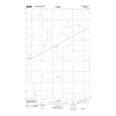 2010 Ronneby2010 Print · USGSBenton County at the start of the millennium retains its traditional rural layout and river-fed landscape. Genealogists and local historians can locate family burial plots at Riverside Cemetery, Elwell Cemetery, and Maywood Cemetery, or trace the winding course of the Saint Francis River.
 - 2010 Map of Foreston, 2010 Print
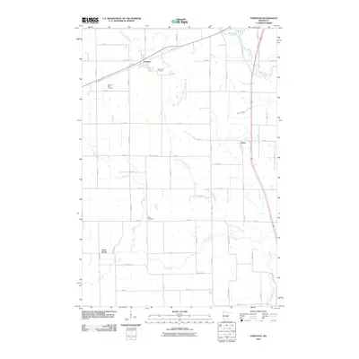 2010 Foreston2010 Print · USGSMille Lacs County agriculture and river life are preserved here during the early twenty-first century. Genealogists and local historians can locate early burial grounds like Pilgrims Rest Cemetery and trace the rural settlements of Foreston and Pease.
 - 2010 Map of Milaca NE, 2010 Print
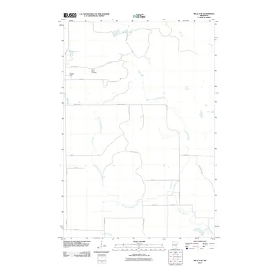 2010 Milaca NE2010 Print · USGSThe Mille Lacs County wetlands and timberlands are captured here during a period of modern forest and water management. Researchers can trace the winding Groundhouse River and locate specific landmarks like the Mille Lacs Lookout Tower and William Mills Pond Dam.
 - 2010 Map of Santiago, 2010 Print
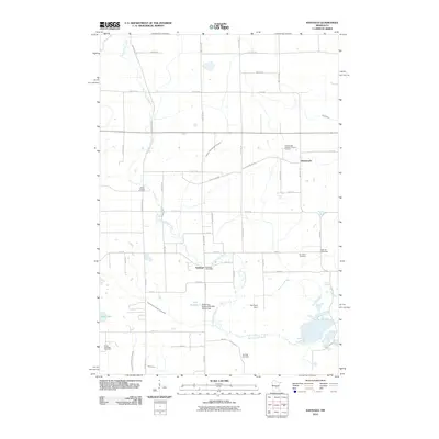 2010 Santiago2010 Print · USGSSantiago and the surrounding township appear here in the early twenty-first century as a landscape defined by the winding Saint Francis River and deep-rooted rural communities. Family historians can trace local landmarks like Glendorado Lutheran Church and several regional burying grounds, including South Santiago Cemetery and Oak Hill Cemetery.
 - 2010 Map of Isle, 2010 Print
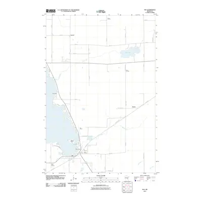 2010 Isle2010 Print · USGSThe southeastern shores of Mille Lacs Lake are captured here in the early 21st century. Genealogists and historians can trace the town of Isle, the old railroad grade now known as the Soo Line Trl, and local burials at Holden Cemetery or Redtop Cemetery.
 - 2010 Map of Onamia, 2010 Print
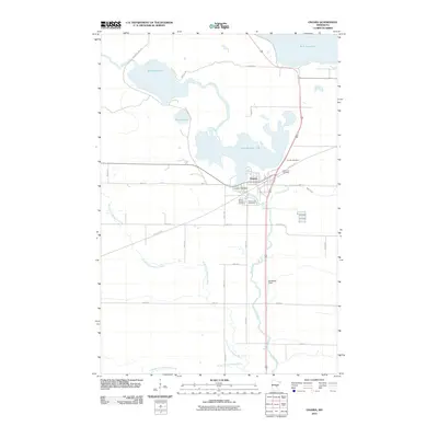 2010 Onamia2010 Print · USGSThe settlement of Onamia and the southern shore of Mille Lacs Lake are shown here as they appeared in the early 21st century. Researchers can trace local genealogy at Holy Cross Cemetery or follow the historic rail path now known as the Soo Line Trl.
 - 2010 Map of Isle SW, 2010 Print
 2010 Isle SW2010 Print · USGSMille Lacs County is documented here during the early twenty-first century, showing a landscape of managed waterways and rural road networks. Genealogists and local historians can trace family land via Woods Rd and locate landmarks like the Isle Harbor Lookout Tower.
 - 2010 Map of Onamia NW, 2010 Print
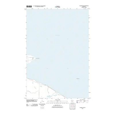 2010 Onamia NW2010 Print · USGSThe southwestern shores of Mille Lacs Lake come into focus in the early 21st century, showing a landscape defined by water and preservation. Researchers can trace the boundaries of Mille Lacs Kathio State Park and locate offshore landmarks like Spirit Island or Rainbow Island.
 - 2010 Map of Hillman SE, 2010 Print
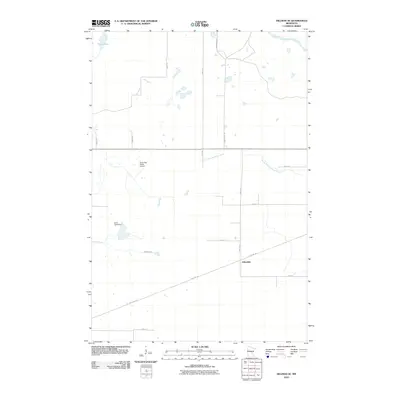 2010 Hillman SE2010 Print · USGSJohnsdale and the surrounding timberlands are captured here during the first decade of the millennium. Researchers can trace the historic railroad corridor now known as the Soo Line Trl or locate landmarks like the North Star Ranch Airport and Kurtz Pond Dam.
 - 2010 Map of Wahkon South, 2010 Print
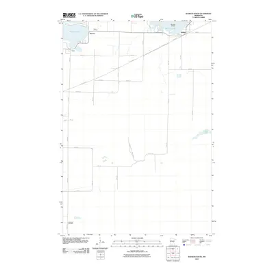 2010 Wahkon South2010 Print · USGSMille Lacs Lake’s southern shoreline comes into focus during the early twenty-first century, showing the established communities of Wahkon and Bayview. Researchers can trace the path of the Soo Line Trl or locate family markers at Foster Cemetery.
 - 2010 Map of Vineland, 2010 Print
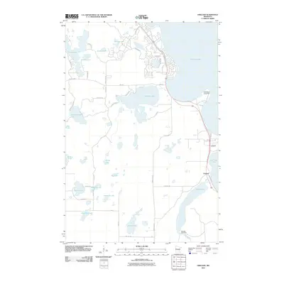 2010 Vineland2010 Print · USGSThe shores of Mille Lacs Lake and the headwaters of the Rum River are captured here in the early twenty-first century. Genealogists and local researchers can trace family landmarks at Lakewood Cemetery and explore the lakeshore near Vineland and Shah-bush-kung Point.
 - 2010 Map of Bock, 2010 Print
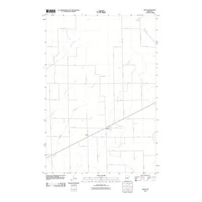 2010 Bock2010 Print · USGSBock and its surrounding Mille Lacs County farmsteads are documented here in the early twenty-first century. Family history researchers can locate Borgholm Cemetery and trace the paths of Bogus Brook and Vondell Brook through the rural landscape.
 - 2010 Map of Wahkon North, 2010 Print
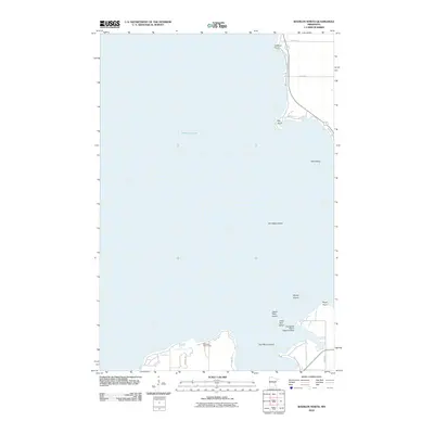 2010 Wahkon North2010 Print · USGSThe southeastern reaches of Mille Lacs Lake are captured here in the early twenty-first century, showing a shoreline shaped by resorts and summer camps. You can trace the lake's unique geography through Hazelglade Resort Seaplane Base, Galloway Youth Camp, and Hennepin Island.
 - 2013 Map of Hillman SE, 2013 Print
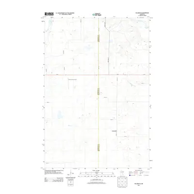 2013 Hillman SE2013 Print · USGSMille Lacs County and the rural crossroads of Johnsdale are captured here during the early twenty-first century. Genealogists and local historians can trace the course of the Rum River and find landmarks like North Star Ranch Airport and Shakopee Lake.
 - 2013 Map of Vineland, 2013 Print
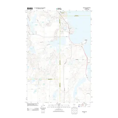 2013 Vineland2013 Print · USGSVineland and the shores of Mille Lacs Lake are captured here in the early twenty-first century. Researchers can trace lakeside developments and local history at Lakewood Cem, Shah-bush-kung Point, and along the Rum River.
 - 2013 Map of Isle SW, 2013 Print
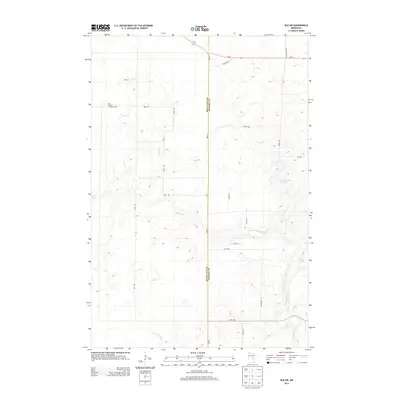 2013 Isle SW2013 Print · USGSMille Lacs and Kanabec counties are shown here in the early 2010s, defined by the winding Knife River and rural township grids. Researchers can locate specific water features like Bergstedt Dam or the historic Isle Harbor Lookout Tower.
 - 2013 Map of Onamia NW, 2013 Print
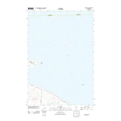 2013 Onamia NW2013 Print · USGSSouthwestern Mille Lacs Lake is captured in the early 2010s, documenting the shoreline near the settlement of Vineland. Genealogists and local researchers can trace lakeside land use and landmarks like Indian Point, Spirit Island, and Tamarac Lake.
Showing maps 1-25 of 84
Top cities of Mille Lacs County
- Milaca historical maps
- Onamia historical maps
- Isle historical maps
- Foreston historical maps
- Wahkon historical maps
- Pease historical maps
See more
Frequently asked questions
- What are the different types of historical maps available for Mille Lacs County?
- What is the oldest map of Mille Lacs County?
- Where can I purchase historical maps of Mille Lacs County for my home or office?
- Where can I download high-res historical maps of Mille Lacs County?
- Are there historical topographic maps available for Mille Lacs County?
- Is there historical aerial imagery available for Mille Lacs County?
- Where are historical maps of Mille Lacs County sourced from?