Old Maps of Mille Lacs County, Minnesota for Hiking & Exploration
Hike through history with 52 historic maps of Mille Lacs County. Explore old trails, ghost towns, and forgotten backroads — perfect for outdoor adventurers and local explorers.
- Rediscover forgotten places: Map out old mining camps, roads, and footpaths that no longer exist on modern maps.
- Layer with modern tools: Combine with LiDAR or satellite views to plan hikes through historical terrain.
- Made for exploration: Popular among hikers, overlanders, and local history lovers.
Use these maps to find adventure and explore the hidden past of Mille Lacs County.
Mille Lacs County, MN maps
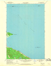
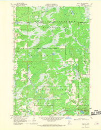
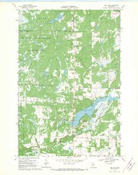
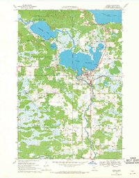
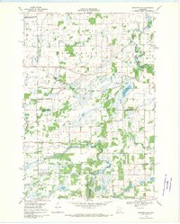
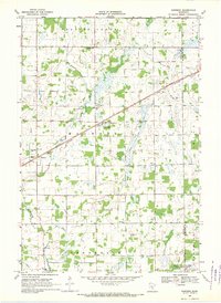
(52)- 1953 Map of Duluth, 1964 Print
 1953 Duluth1964 Print · USGSCovers Mille Lacs County, including Duluth, Superior, and other nearby areas2 unique versions available
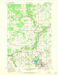
 - 1953 Map of Stillwater, 1980 Print
 1953 Stillwater1980 Print · USGSCovers Mille Lacs County, including Minneapolis, Brooklyn Park, and other nearby areas
 - 1955 Map of Stillwater, 1965 Print
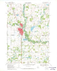
 1955 Stillwater1965 Print · USGSCovers Mille Lacs County, including Minneapolis, Brooklyn Park, and other nearby areas
 - 1958 Map of Stillwater
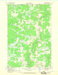
 1958 Stillwater1958 Print · USGSCovers Mille Lacs County, including Minneapolis, Brooklyn Park, and other nearby areas2 unique versions available
 - 1958 Map of Duluth
 1958 Duluth1958 Print · USGSCovers Mille Lacs County, including Duluth, Superior, and other nearby areas
 - 1965 Map of Stillwater
 1965 Stillwater1965 Print · USGSCovers Mille Lacs County, including Minneapolis, Brooklyn Park, and other nearby areas
 - 1968 Map of Onamia NW, 1970 Print
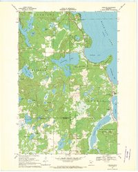
 1968 Onamia NW1970 Print · USGSCovers Mille Lacs County, including South Harbor Township, Kathio Township, and other nearby areas2 unique versions available
 - 1968 Map of Ramey NE, 1970 Print
 1968 Ramey NE1970 Print · USGSCovers Mille Lacs County, including Bradbury Township, Page Township, and other nearby areas
 - 1968 Map of Milaca NE, 1970 Print
 1968 Milaca NE1970 Print · USGSCovers Mille Lacs County, including Mudgett Township, Onamia Township, and other nearby areas
 - 1968 Map of Ann Lake, 1970 Print
 1968 Ann Lake1970 Print · USGSCovers Mille Lacs County, including Kanabec Township, Knife Lake Township, and other nearby areas
 - 1968 Map of Onamia, 1970 Print
 1968 Onamia1970 Print · USGSCovers Mille Lacs County, including Onamia, Onamia Township, and other nearby areas2 unique versions available
 - 1968 Map of Isle SW, 1970 Print
 1968 Isle SW1970 Print · USGSCovers Mille Lacs County, including Isle, Isle Harbor Township, and other nearby areas2 unique versions available
 - 1968 Map of Wahkon North, 1970 Print
 1968 Wahkon North1970 Print · USGSCovers Mille Lacs County, including Wahkon, South Harbor Township, and other nearby areas2 unique versions available
 - 1968 Map of Rum River, 1970 Print
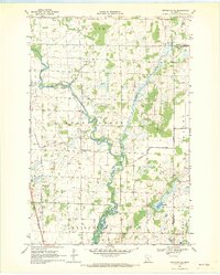
 1968 Rum River1970 Print · USGSCovers Mille Lacs County, including Milaca Township, Page Township, and other nearby areas
 - 1968 Map of Santiago, 1970 Print
 1968 Santiago1970 Print · USGSCovers Mille Lacs County, including Santiago, Glendorado, and other nearby areas
 - 1968 Map of Isle, 1970 Print
 1968 Isle1970 Print · USGSCovers Mille Lacs County, including Isle, Idun Township, and other nearby areas
 - 1968 Map of Princeton SW, 1970 Print
 1968 Princeton SW1970 Print · USGSCovers Mille Lacs County, including Blue Hill Township, Greenbush Township, and other nearby areas2 unique versions available
 - 1968 Map of Milaca, 1970 Print
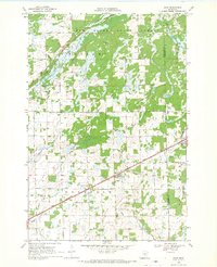
 1968 Milaca1970 Print · USGSCovers Mille Lacs County, including Milaca, Milaca Township, and other nearby areas
 - 1968 Map of Princeton, 1970 Print
 1968 Princeton1970 Print · USGSCovers Mille Lacs County, including Princeton, Baldwin Township, and other nearby areas2 unique versions available
 - 1968 Map of Page, 1970 Print
 1968 Page1970 Print · USGSCovers Mille Lacs County, including Mudgett Township, Onamia Township, and other nearby areas2 unique versions available
 - 1968 Map of Ronneby, 1970 Print
 1968 Ronneby1970 Print · USGSCovers Mille Lacs County, including Ronneby, Greenbush Township, and other nearby areas
 - 1968 Map of Vineland, 1970 Print
 1968 Vineland1970 Print · USGSCovers Mille Lacs County, including Kathio Township, Morrison County, and other nearby areas
 - 1968 Map of Princeton NE, 1970 Print
 1968 Princeton NE1970 Print · USGSCovers Mille Lacs County, including South Fork Township, Bogus Brook Township, and other nearby areas
 - 1968 Map of Bock, 1970 Print
 1968 Bock1970 Print · USGSCovers Mille Lacs County, including Bock, South Fork Township, and other nearby areas2 unique versions available
 - 1968 Map of Foreston, 1970 Print
 1968 Foreston1970 Print · USGSCovers Mille Lacs County, including Milaca, Foreston, and other nearby areas2 unique versions available
Showing maps 1-25 of 52
Top cities of Mille Lacs County
- Milaca historical maps
- Onamia historical maps
- Isle historical maps
- Foreston historical maps
- Wahkon historical maps
- Pease historical maps
See more
Frequently asked questions
- What are the different types of historical maps available for Mille Lacs County?
- What is the oldest map of Mille Lacs County?
- Where can I purchase historical maps of Mille Lacs County for my home or office?
- Where can I download high-res historical maps of Mille Lacs County?
- Are there historical topographic maps available for Mille Lacs County?
- Is there historical aerial imagery available for Mille Lacs County?
- Where are historical maps of Mille Lacs County sourced from?