2000s (21st Century) Maps of Mille Lacs County, Minnesota
Explore 21 historic maps of Mille Lacs County from the 2000s (21st Century). These maps offer a rare glimpse into what life looked like during the 2000s — showing old roads, neighborhoods, homes, and landmarks that have changed or disappeared over time.
Whether you're researching your family's past, planning a metal detecting trip, or studying how Mille Lacs County's landscape evolved across the 2000s, these high-resolution maps are a powerful tool for exploring the history of this region.
- Focus on a specific era: All maps on this page are from the 2000s, giving you a focused view of this time period.
- See what’s changed: Compare century-old streets, trails, and buildings to today's modern landscape using overlays and satellite layers.
- Research with precision: Use these maps for genealogy, historical research, land use analysis, or educational projects.
- View, download, or print: Maps are fully viewable online in high resolution, and can be downloaded or printed for your own records.
Start exploring Mille Lacs County's history through authentic maps from the 2000s. This is your window into the past.
Mille Lacs County, MN maps
(21)- 2022 Map of Princeton, 2022 Print
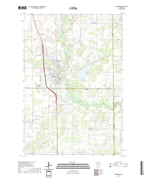 2022 Princeton2022 Print · USGSCovers Mille Lacs County, including Princeton, Baldwin Township, and other nearby areas
 - 2022 Map of Princeton NE, 2022 Print
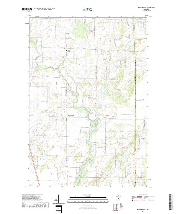 2022 Princeton NE2022 Print · USGSCovers Mille Lacs County, including Bogus Brook Township, Dalbo Township, and other nearby areas
 - 2022 Map of Princeton SW, 2022 Print
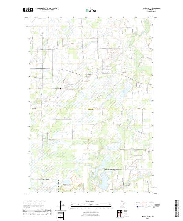 2022 Princeton SW2022 Print · USGSCovers Mille Lacs County, including Blue Hill Township, Baldwin Township, and other nearby areas
 - 2022 Map of Santiago, 2022 Print
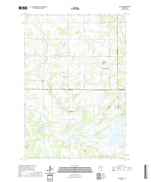 2022 Santiago2022 Print · USGSCovers Mille Lacs County, including Santiago, Glendorado, and other nearby areas
 - 2022 Map of Rum River, 2022 Print
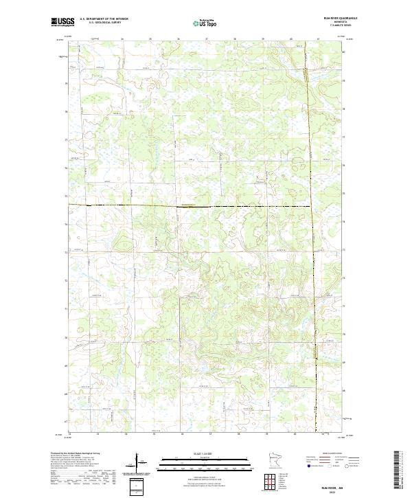 2022 Rum River2022 Print · USGSCovers Mille Lacs County, including Page Township, Granite Ledge Township, and other nearby areas
 - 2022 Map of Milaca NE, 2022 Print
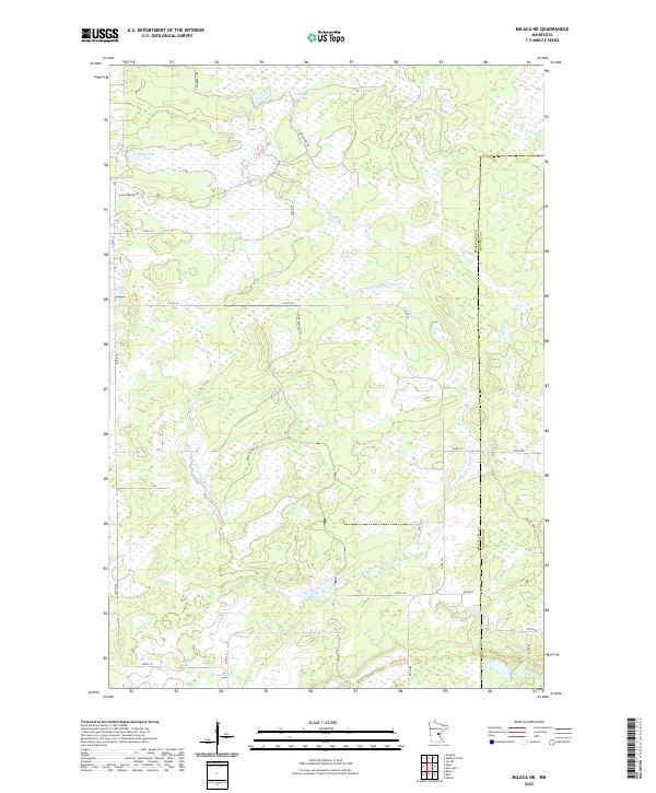 2022 Milaca NE2022 Print · USGSCovers Mille Lacs County, including Lewis Township, Kanabec Township, and other nearby areas
 - 2022 Map of Page, 2022 Print
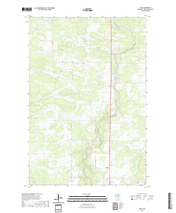 2022 Page2022 Print · USGSCovers Mille Lacs County, including Page Township, Bradbury Township, and other nearby areas
 - 2022 Map of Bock, 2022 Print
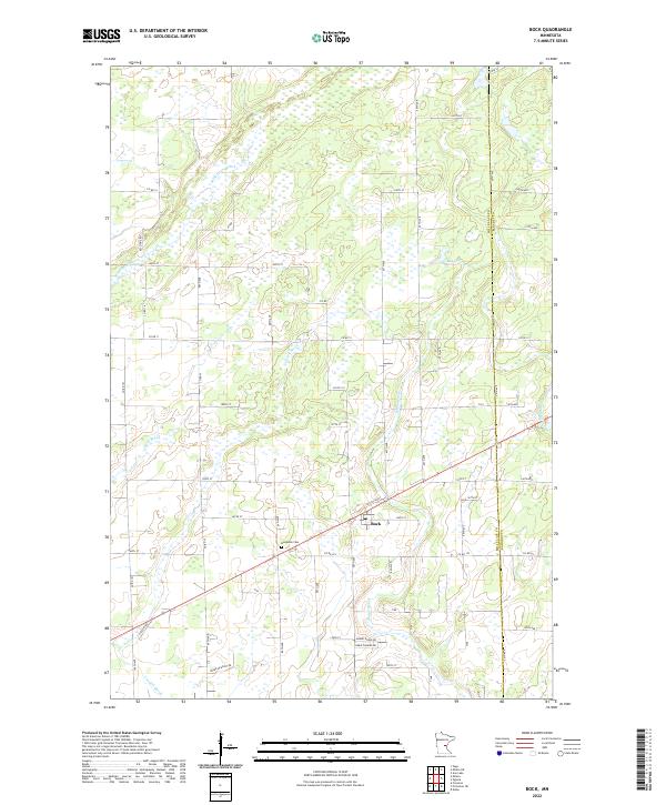 2022 Bock2022 Print · USGSCovers Mille Lacs County, including Bock, Borgholm Township, and other nearby areas
 - 2022 Map of Ronneby, 2022 Print
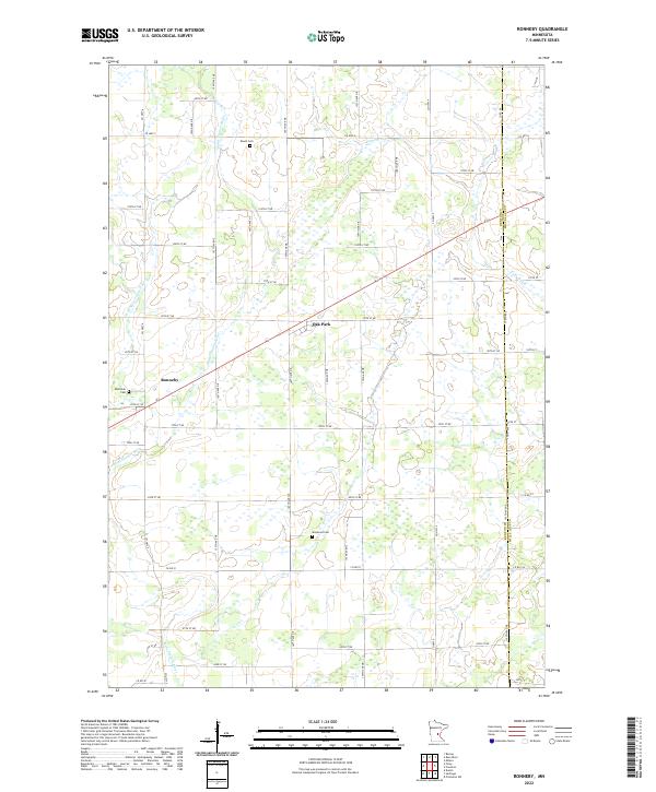 2022 Ronneby2022 Print · USGSCovers Mille Lacs County, including Ronneby, Granite Ledge Township, and other nearby areas
 - 2022 Map of Milaca, 2022 Print
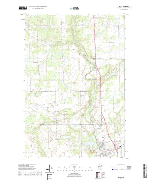 2022 Milaca2022 Print · USGSCovers Mille Lacs County, including Milaca, Page Township, and other nearby areas
 - 2022 Map of Hillman SE, 2022 Print
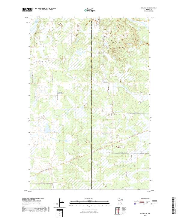 2022 Hillman SE2022 Print · USGSCovers Mille Lacs County, including Bradbury Township, Kathio Township, and other nearby areas
 - 2022 Map of Ramey NE, 2022 Print
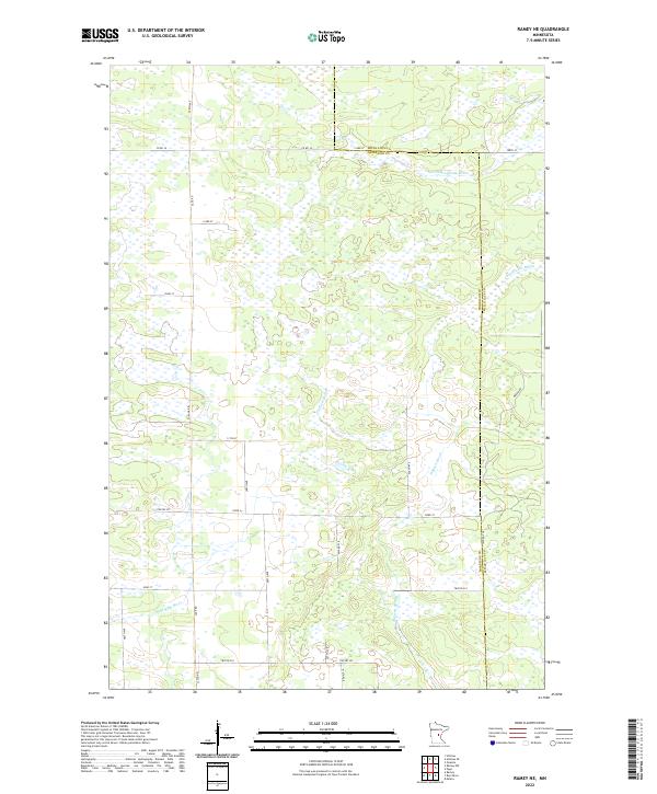 2022 Ramey NE2022 Print · USGSCovers Mille Lacs County, including Page Township, Bradbury Township, and other nearby areas
 - 2022 Map of Ann Lake, 2022 Print
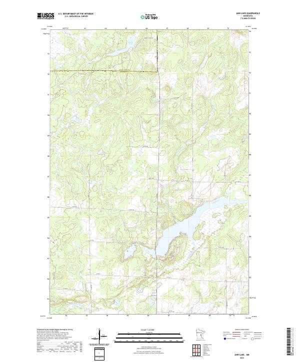 2022 Ann Lake2022 Print · USGSCovers Mille Lacs County, including Lewis Township, Hillman Township, and other nearby areas
 - 2022 Map of Foreston, 2022 Print
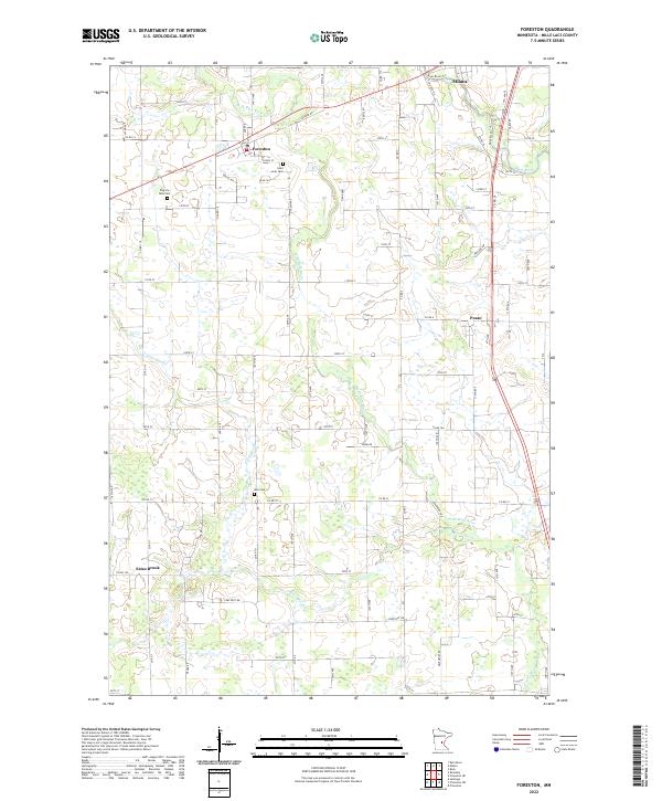 2022 Foreston2022 Print · USGSCovers Mille Lacs County, including Milaca, Foreston, and other nearby areas
 - 2022 Map of Isle, 2022 Print
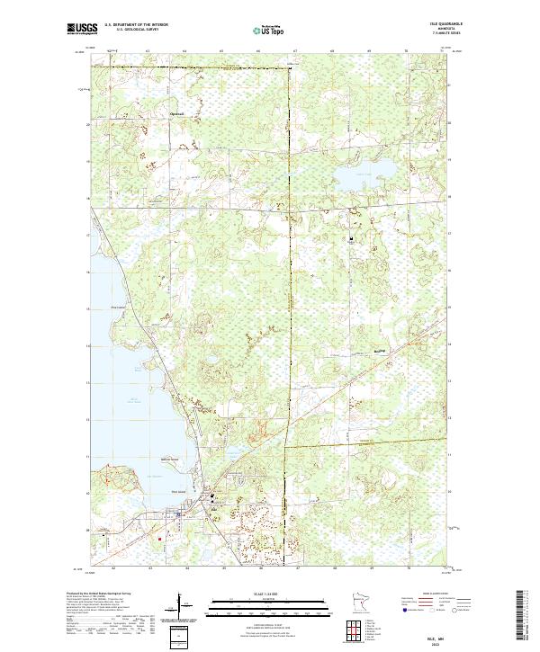 2022 Isle2022 Print · USGSCovers Mille Lacs County, including Isle, Idun Township, and other nearby areas
 - 2022 Map of Wahkon North, 2022 Print
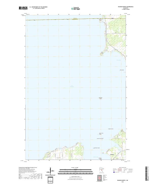 2022 Wahkon North2022 Print · USGSCovers Mille Lacs County, including Wahkon, South Harbor Township, and other nearby areas
 - 2022 Map of Vineland, 2022 Print
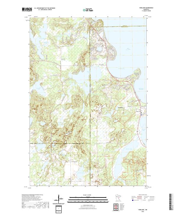 2022 Vineland2022 Print · USGSCovers Mille Lacs County, including Kathio Township, Morrison County, and other nearby areas
 - 2022 Map of Wahkon South, 2022 Print
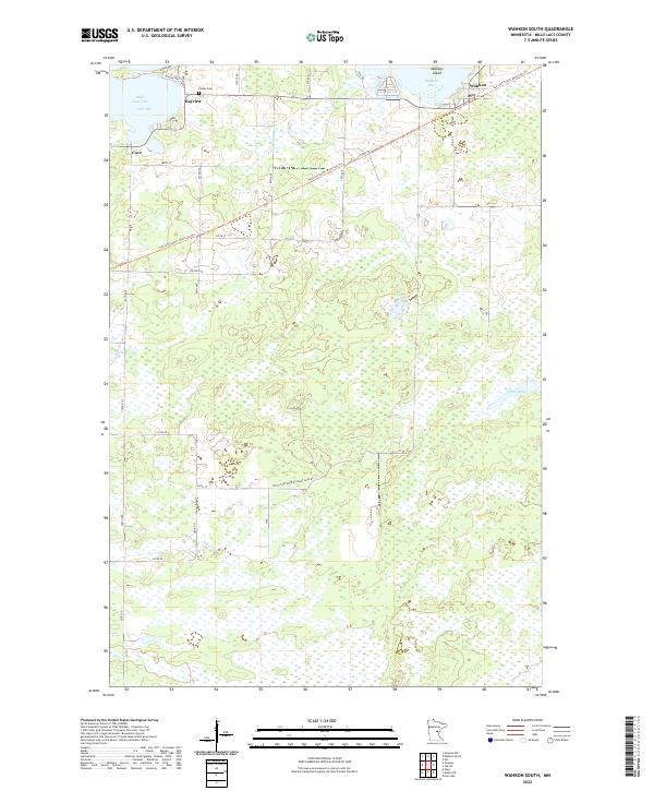 2022 Wahkon South2022 Print · USGSCovers Mille Lacs County, including Wahkon, Lewis Township, and other nearby areas
 - 2022 Map of Isle SW, 2022 Print
 2022 Isle SW2022 Print · USGSCovers Mille Lacs County, including Isle, Lewis Township, and other nearby areas
 - 2022 Map of Onamia, 2022 Print
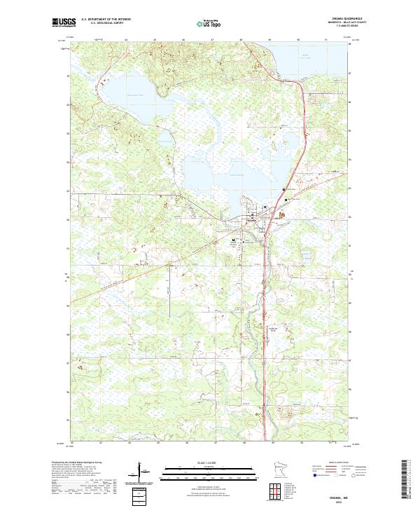 2022 Onamia2022 Print · USGSCovers Mille Lacs County, including Onamia, South Harbor Township, and other nearby areas
 - 2022 Map of Onamia NW, 2022 Print
 2022 Onamia NW2022 Print · USGSCovers Mille Lacs County, including South Harbor Township, Kathio Township, and other nearby areas
End of results
Showing maps 1-21 of 21
Top cities of Mille Lacs County
- Milaca historical maps
- Onamia historical maps
- Isle historical maps
- Foreston historical maps
- Wahkon historical maps
- Pease historical maps
See more
Frequently asked questions
- What are the different types of historical maps available for Mille Lacs County?
- What is the oldest map of Mille Lacs County?
- Where can I purchase historical maps of Mille Lacs County for my home or office?
- Where can I download high-res historical maps of Mille Lacs County?
- Are there historical topographic maps available for Mille Lacs County?
- Is there historical aerial imagery available for Mille Lacs County?
- Where are historical maps of Mille Lacs County sourced from?