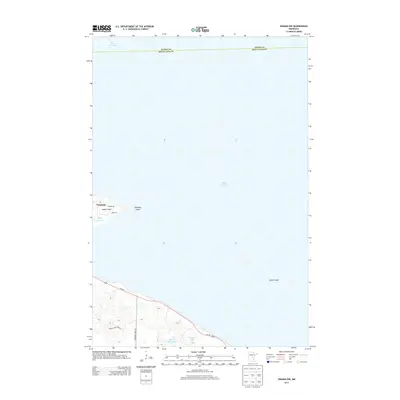
2013 Map of Onamia NW
USGS Topo · Published 2013About this map
Vineland sits along the southwestern shores of Mille Lacs Lake, serving as a focal point for this lakeside survey in South Harbor Township. The map illustrates the shoreline geography where Indian Point and Rainbow Island meet the water, while the solitary Spirit Island is positioned further out in the lake's expanse. To the south, the landscape transitions into a network of smaller water bodies and wetlands, including Black Bass Lake and Tamarac Lake. Transportation is dominated by Us-169, which follows the curve of the lake, and local routes like Shakopee Lake Rd and Kathio State Park Rd. The boundary between Aitkin and Mille Lacs Counties runs across the northern portion of the lake, defining the jurisdictional limits of this aquatic-heavy terrain.
Find a feature on this map
13 named features on this map. Tap any name to fly to it.
Don’t see what you’re looking for? This feature index may not catch every label — zoom into the map to look around manually.
Map Details
Editions of this 2013 Onamia NW Map
This is the sole edition of this map. No revisions or reprints were ever made.
Other maps of this area

1912 · Deerwood
USGS Topo · 1:62,500

1914 · Deerwood
USGS Topo · 1:62,500

1916 · Wealthwood
USGS Topo · 1:62,500

1953 · Duluth
USGS Topo · 1:250,000

1958 · Duluth
USGS Topo · 1:250,000

1968 · Onamia NW
USGS Topo · 1:24,000

1968 · Onamia
USGS Topo · 1:24,000

1968 · Wahkon North
USGS Topo · 1:24,000
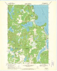
1968 · Vineland
USGS Topo · 1:24,000
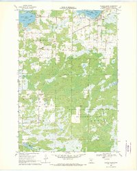
1968 · Wahkon South
USGS Topo · 1:24,000