Old Maps of Kathio Township, Minnesota for Academic Research
Study the evolution of Kathio Township with 27 high-resolution historic maps. Whether you're teaching, researching, or modeling changes in land use, these maps provide essential visual documentation of urban, environmental, and geographic change.
- Analyze long-term change: Track patterns in development, transportation, and natural features.
- Ideal for environmental or urban studies: Support academic projects with primary historical map data.
- Use in the classroom or lab: Educators and researchers rely on these maps to bring historical context to life.
These maps are a powerful tool for teaching, research, and visualizing how Kathio Township has changed over the decades.
Kathio Township, MN maps
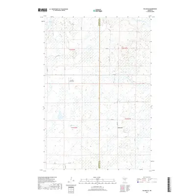
(27)- 1953 Map of Duluth, 1964 Print
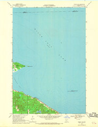
 1953 Duluth1964 Print · USGSNortheastern Minnesota and northwestern Wisconsin are shown here during a period of industrial maturity and expanding conservation. Genealogists and historians can trace rail-connected towns like McGrath and Wahkon, or locate heritage sites within the Fond du Lac Indian Reservation.2 unique versions available
 - 1958 Map of Duluth
 1958 Duluth1958 Print · USGSNortheastern Minnesota and the Wisconsin borderlands are shown in detail during the late 1950s, centered on the bustling rail yards and ports of Duluth. You can trace the historic routes of the Soo Line and Duluth Missabe & Iron Range through small towns like McGrath, Bruno, and Wrenshall.
 - 1968 Map of Onamia NW, 1970 Print
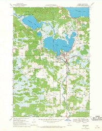
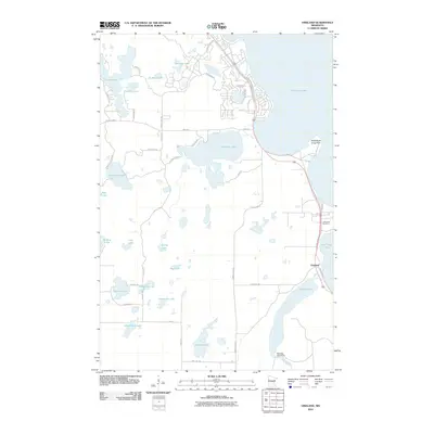
 1968 Onamia NW1970 Print · USGSThe southwestern reaches of Mille Lacs Lake are captured here in the late sixties, showcasing a landscape defined by conservation and recreation. Researchers can trace the early boundaries of Mille Lacs Kathio State Park and locate offshore landmarks like Spirit Island.2 unique versions available
 - 1968 Map of Onamia, 1970 Print
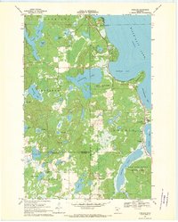
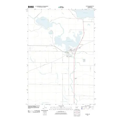
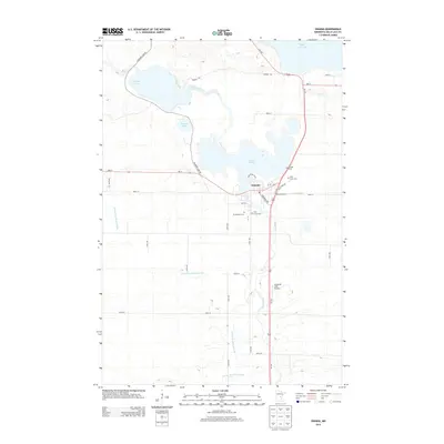
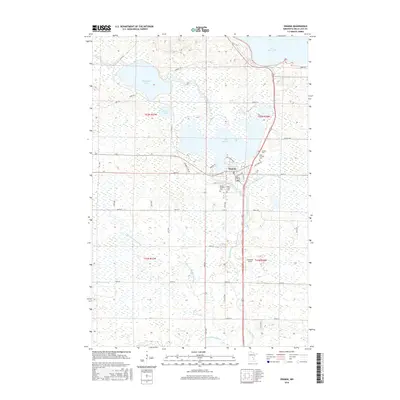
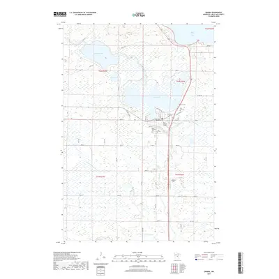
 1968 Onamia1970 Print · USGSThe southern shore of Mille Lacs Lake comes into focus during the late 1960s, showing the intersection of industry, faith, and conservation. Genealogists and local historians can trace the foundations of Onamia through the Crosier Seminary, Holy Cross Church, and several local cemeteries.2 unique versions available
 - 1968 Map of Vineland, 1970 Print
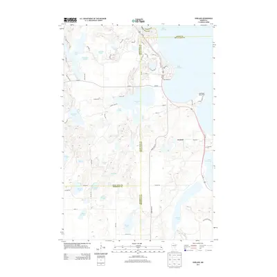
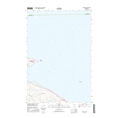
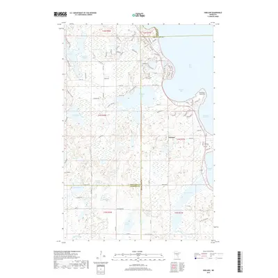
 1968 Vineland1970 Print · USGSThe southwestern shores of Mille Lacs Lake are captured here in the late sixties, centered on the settlement of Vineland. Researchers can trace local history through the Alliance Mission, Lakewood Cem, and the boundaries of Mille Lacs Kathio State Park.
 - 1968 Map of Hillman SE, 1970 Print
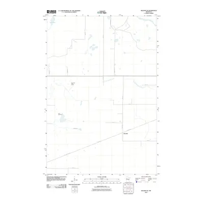
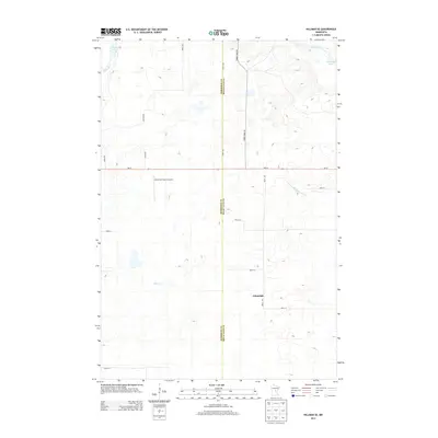
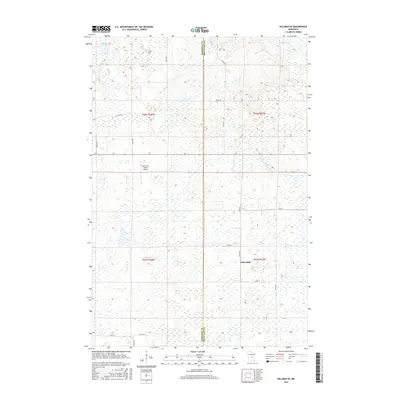
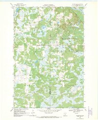 1968 Hillman SE1970 Print · USGSThe Morrison and Mille Lacs county line in the late sixties reveals a landscape of dense wetlands and state timberlands. Genealogists and historians can trace the Soo Line rail corridor through Johnsdale or locate landmarks like the Gravel Pit and Radio Tower.2 unique versions available
 - 1985 Map of Mille Lacs Lake
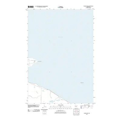
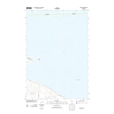
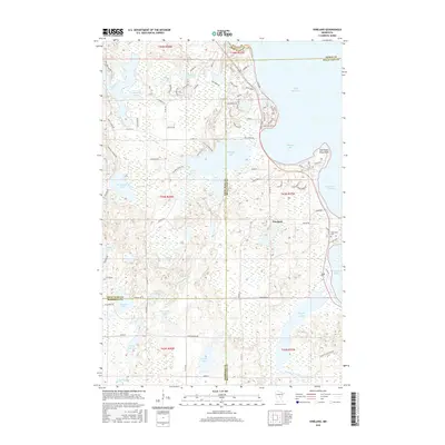
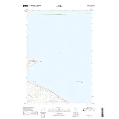
 1985 Mille Lacs Lake1985 Print · USGSMille Lacs Lake and its surrounding settlements are shown in the mid-1980s as a hub of lake-shore recreation and rail commerce. Researchers can trace historic transport lines like the Soo Line and locate communities such as Wahkon and Garrison.2 unique versions available
 - 2010 Map of Onamia, 2010 Print
 2010 Onamia2010 Print · USGSCovers Kathio Township, including Onamia, South Harbor Township, and other nearby areas
 - 2010 Map of Onamia NW, 2010 Print
 2010 Onamia NW2010 Print · USGSCovers Kathio Township, including South Harbor Township, Mille Lacs County, and other nearby areas
 - 2010 Map of Hillman SE, 2010 Print
 2010 Hillman SE2010 Print · USGSCovers Kathio Township, including Johnsdale, Bradbury Township, and other nearby areas
 - 2010 Map of Vineland, 2010 Print
 2010 Vineland2010 Print · USGSCovers Kathio Township, including Morrison County, Mille Lacs County, and other nearby areas
 - 2013 Map of Hillman SE, 2013 Print
 2013 Hillman SE2013 Print · USGSCovers Kathio Township, including Johnsdale, Bradbury Township, and other nearby areas
 - 2013 Map of Vineland, 2013 Print
 2013 Vineland2013 Print · USGSCovers Kathio Township, including Morrison County, Mille Lacs County, and other nearby areas
 - 2013 Map of Onamia NW, 2013 Print
 2013 Onamia NW2013 Print · USGSCovers Kathio Township, including South Harbor Township, Mille Lacs County, and other nearby areas
 - 2013 Map of Onamia, 2013 Print
 2013 Onamia2013 Print · USGSCovers Kathio Township, including Onamia, South Harbor Township, and other nearby areas
 - 2016 Map of Onamia NW, 2016 Print
 2016 Onamia NW2016 Print · USGSCovers Kathio Township, including South Harbor Township, Mille Lacs County, and other nearby areas
 - 2016 Map of Onamia, 2016 Print
 2016 Onamia2016 Print · USGSCovers Kathio Township, including Onamia, South Harbor Township, and other nearby areas
 - 2016 Map of Hillman SE, 2016 Print
 2016 Hillman SE2016 Print · USGSCovers Kathio Township, including Johnsdale, Bradbury Township, and other nearby areas
 - 2016 Map of Vineland, 2016 Print
 2016 Vineland2016 Print · USGSCovers Kathio Township, including Morrison County, Mille Lacs County, and other nearby areas
 - 2019 Map of Hillman SE, 2019 Print
 2019 Hillman SE2019 Print · USGSCovers Kathio Township, including Johnsdale, Bradbury Township, and other nearby areas
 - 2019 Map of Onamia NW, 2019 Print
 2019 Onamia NW2019 Print · USGSCovers Kathio Township, including South Harbor Township, Mille Lacs County, and other nearby areas
 - 2019 Map of Onamia, 2019 Print
 2019 Onamia2019 Print · USGSCovers Kathio Township, including Onamia, South Harbor Township, and other nearby areas
 - 2019 Map of Vineland, 2019 Print
 2019 Vineland2019 Print · USGSCovers Kathio Township, including Morrison County, Mille Lacs County, and other nearby areas
 - 2022 Map of Hillman SE, 2022 Print
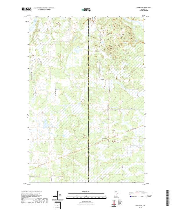 2022 Hillman SE2022 Print · USGSMorrison and Mille Lacs counties meet in this wetland-rich landscape during the early twenty-first century. Researchers can trace the repurposed rail corridors of the Soo Line South trails and locate the settlement of Johnsdale.
 - 2022 Map of Vineland, 2022 Print
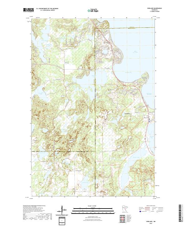 2022 Vineland2022 Print · USGSVineland and the western reaches of Mille Lacs Lake are documented here in the early twenty-first century. Genealogists and local historians can trace shoreline developments and interior landmarks like Lakewood Cem, Ogechie Lake, and the historic Pine Center Trl.
Showing maps 1-25 of 27
Top cities near Kathio Township
- Onamia historical maps
- Wahkon historical maps
- Wealthwood historical maps
- Garrison historical maps
- Hillman historical maps
Frequently asked questions
- What are the different types of historical maps available for Kathio Township?
- What is the oldest map of Kathio Township?
- Where can I purchase historical maps of Kathio Township for my home or office?
- Where can I download high-res historical maps of Kathio Township?
- Are there historical topographic maps available for Kathio Township?
- Is there historical aerial imagery available for Kathio Township?
- Where are historical maps of Kathio Township sourced from?