2020s Maps of Lake Wilson, Minnesota
Explore 2 historic maps of Lake Wilson from the 2020s. These maps offer a rare glimpse into what life looked like during the 2020s — showing old roads, neighborhoods, homes, and landmarks that have changed or disappeared over time.
Whether you're researching your family's past, planning a metal detecting trip, or studying how Lake Wilson's landscape evolved across the 2020s, these high-resolution maps are a powerful tool for exploring the history of this region.
- Focus on a specific era: All maps on this page are from the 2020s, giving you a focused view of this time period.
- See what’s changed: Compare century-old streets, trails, and buildings to today's modern landscape using overlays and satellite layers.
- Research with precision: Use these maps for genealogy, historical research, land use analysis, or educational projects.
- View, download, or print: Maps are fully viewable online in high resolution, and can be downloaded or printed for your own records.
Start exploring Lake Wilson's history through authentic maps from the 2020s. This is your window into the past.
Lake Wilson, MN maps
(2)- 2022 Map of Balaton SW, 2022 Print
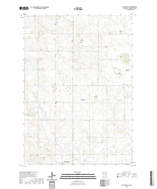 2022 Balaton SW2022 Print · USGSMurray County prairie life in the early 2020s is defined by its glacial landforms and the agricultural grid surrounding Lake Wilson. Genealogists and researchers can locate Ellsborough Cem, Saint John's Cem, and the expansive Great Oasis Lakebed.
 - 2022 Map of Chandler, 2022 Print
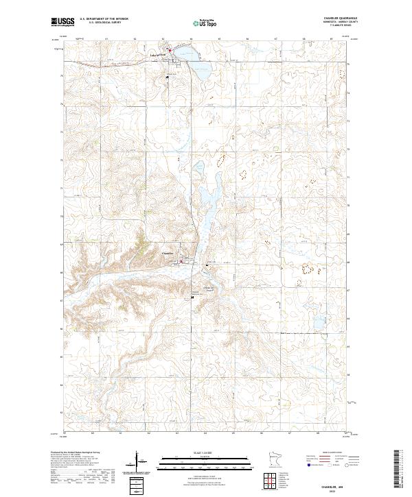 2022 Chandler2022 Print · USGSMurray County prairie life is centered on the settlements of Chandler and Lake Wilson during this modern era. Genealogists can locate family sites at Chandler Memorial Cem or Hillside Cem and trace the path of the Casey Jones State Trl.
End of results
Showing maps 1-2 of 2
Top cities near Lake Wilson
- Slayton historical maps
- Edgerton historical maps
- Leota historical maps
- Wilmont historical maps
- Ruthton historical maps
- Chandler historical maps
See more
Frequently asked questions
- What are the different types of historical maps available for Lake Wilson?
- What is the oldest map of Lake Wilson?
- Where can I purchase historical maps of Lake Wilson for my home or office?
- Where can I download high-res historical maps of Lake Wilson?
- Are there historical topographic maps available for Lake Wilson?
- Is there historical aerial imagery available for Lake Wilson?
- Where are historical maps of Lake Wilson sourced from?