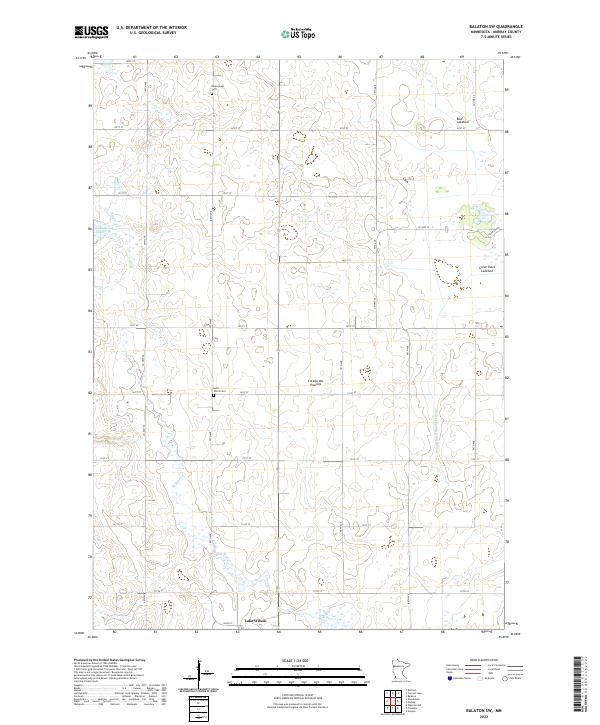
2022 Map of Balaton SW
USGS Topo · Published 2022About this map
The Coteau des Prairies upland region dominates this part of Murray County, where the high prairie landscape transitions into a complex network of glacial remnants and drainage systems. Near the southern border, the settlement of Lake Wilson serves as a primary point of reference amidst a grid of rural roads such as Co Hwy 26 and Co Hwy 12. The hydrology of the area is particularly noteworthy, featuring several dry or seasonal basins including Great Oasis Lakebed and Bear Lakebed, alongside smaller water bodies like Klinker Slough. These features, combined with the presence of Beaver Cr and County Ditch Number Twenty, illustrate a landscape heavily modified for agricultural drainage. Local genealogy is anchored by the presence of Ellsborough Cem and Saint John's Cem, which mark the historical locations of early prairie communities.
Find a feature on this map
37 named features on this map. Tap any name to fly to it.
Don’t see what you’re looking for? This feature index may not catch every label — zoom into the map to look around manually.
Map Details
Editions of this 2022 Balaton SW Map
This is the sole edition of this map. No revisions or reprints were ever made.
Other maps of this area

1953 · Watertown
USGS Topo · 1:250,000

1953 · New Ulm
USGS Topo · 1:250,000

1954 · Fairmont
USGS Topo · 1:250,000

1955 · Sioux Falls
USGS Topo · 1:250,000

1957 · New Ulm
USGS Topo · 1:250,000

1958 · New Ulm
USGS Topo · 1:250,000

1958 · Sioux Falls
USGS Topo · 1:250,000

1958 · Fairmont
USGS Topo · 1:250,000

1958 · Watertown
USGS Topo · 1:250,000

1967 · New Ulm
USGS Topo · 1:250,000