Old Maps of Rochester, Minnesota for Genealogy
Trace your family roots with 36 historic maps of Rochester. These high-res maps reveal old neighborhoods, homesites, landmarks, and streets — helping you uncover where your ancestors lived and how the area evolved over time.
- Explore historic neighborhoods: Identify where your relatives may have lived in the 1800s or 1900s.
- Compare maps over time: Trace the changes in streets, buildings, and landmarks for multi-generational research.
- Perfect for genealogy & ancestry research: Used by family historians and researchers to map out lineage and migration.
These maps are an incredible resource for exploring your personal connection to Rochester's past.
Rochester, MN maps
(36)- 1935 Map of Rochester
 1935 Rochester1935 Print · USGSSoutheastern Minnesota during the mid-thirties reveals a landscape of thriving river towns and dense rural school districts. Genealogists and historians can trace family roots through numerous country schools like Sch No 106 and cemeteries such as Pleasant Prairie Cem.
 - 1939 Map of Rochester
 1939 Rochester1939 Print · USGSRochester and the Zumbro River valley are captured here in the mid-thirties, showcasing the city's early layout and the surrounding agrarian townships. Genealogists can trace family roots through dozens of named country schools and churches like South Troy Ch and Webster Sch.4 unique versions available
 - 1953 Map of Saint Paul, 1964 Print
 1953 Saint Paul1964 Print · USGSThe Twin Cities and the Mississippi River valley are captured here at a mid-century turning point. Trace the early growth of Minneapolis and Saint Paul alongside landmarks like Lake Minnetonka and the St Croix River.4 unique versions available
 - 1954 Map of Mason City, 1967 Print
 1954 Mason City1967 Print · USGSSouthern Minnesota and northern Iowa are shown here at the height of the mid-century rail era, centered on the regional hubs of Mason City and Rochester. Researchers can trace the vanished paths of the Chicago Great Western and find local landmarks like Pilot Knob and Bear Lake.2 unique versions available
 - 1955 Map of Stewartville, 1956 Print
 1955 Stewartville1956 Print · USGSSouthern Minnesota's farming country and river valleys are shown in the mid-fifties as rural life revolved around local rail depots and school districts. Researchers can find numerous country schools like Little Red Sch and St Bridget Sch, plus family-named cemeteries such as Holy Redeemer Cem and Jerusalem Cem.2 unique versions available
 - 1955 Map of High Forest, 1957 Print
 1955 High Forest1957 Print · USGSSoutheast Minnesota's agricultural heartland is captured here in the mid-fifties, showing the rural township structure before modern highway expansion. Researchers can trace the legacy of early Norwegian and German settlers through sites like East St Olaf Ch, Shanty Town, and Folkestad Sch.
 - 1957 Map of Mason City
 1957 Mason City1957 Print · USGSThe Minnesota-Iowa border region comes alive in this mid-century survey, from the industrial plants of Mason City to the medical hub of Rochester. Researchers can trace the rail-and-river economy through the Chicago Great Western Railway and the Shell Rock River.
 - 1958 Map of Mason City
 1958 Mason City1958 Print · USGSSouthern Minnesota and northern Iowa are shown during the mid-fifties when railroads still anchored the regional economy. Genealogists and historians can trace the intricate rail networks of the Illinois Central and find local landmarks in Mason City, Albert Lea, and Austin.
 - 1959 Map of Saint Paul
 1959 Saint Paul1959 Print · USGSThe Twin Cities and southeastern Minnesota appear here in the late fifties, showing the peak of the rail era and post-war suburban growth. Genealogists can trace family footprints near Lake Minnetonka, the Univ Of Minn Rosemount Research Center, or the growing neighborhoods of Richfield.2 unique versions available
 - 1966 Map of Douglas, 1967 Print
 1966 Douglas1967 Print · USGSOlmsted County rural life meets the expanding edge of the city in the mid-sixties. Genealogists and local historians can locate early schools like Stone Corner Sch, various Gravel Pits, and trace the path of the Chicago Great Western railroad.3 unique versions available
 - 1972 Map of Rochester, 1975 Print
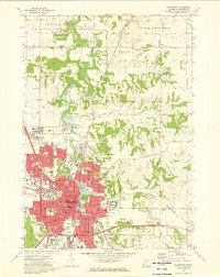 1972 Rochester1975 Print · USGSRochester and its surrounding townships are shown here during a period of significant institutional and suburban growth in the early seventies. Genealogists and local historians can map the city's evolution through landmarks like the Mayo Clinic, Oakwood Cemetery, and the Chicago and North Western rail lines.4 unique versions available
 - 1974 Map of Salem Corners, 1976 Print
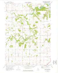 1974 Salem Corners1976 Print · USGSWestern Olmsted County appears here in the mid-seventies, showing a landscape of river valleys and growing municipal infrastructure. Genealogists and local historians can locate Riverside Cem, the Bamber Valley Sch, and the Rochester Municipal Airport.2 unique versions available
 - 1974 Map of Simpson, 1976 Print
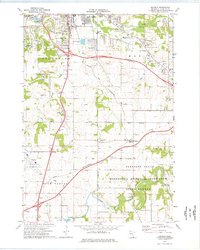 1974 Simpson1976 Print · USGSOlmsted County reveals a mix of mid-century suburban expansion and deep-rooted rural life during the 1970s. Trace the development of Rochester alongside historic local landmarks like St Bridget Ch and the Fugles Mill Historical Site.2 unique versions available
 - 1985 Map of Rochester
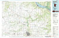 1985 Rochester1985 Print · USGSSoutheastern Minnesota in the mid-eighties centers on the growth of Rochester and its surrounding river valleys. Trace family roots and old rail lines through Mantorville, Pine Island, and along the Mississippi River near Lake Pepin.
 - 1985 Map of Austin
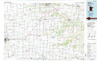 1985 Austin1985 Print · USGSSoutheast Minnesota in the mid-1980s reveals a land of river valleys and agricultural hubs along the Iowa border. Researchers can trace the legacy of regional transport through the Chicago and North Western line and landmarks like Niagara Cave or the Rochester Municipal Airport.2 unique versions available
 - 1989 Map of Rochester
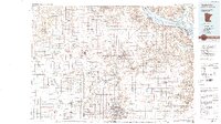 1989 Rochester1989 Print · USGSSoutheastern Minnesota and the Mississippi River bluffs are captured here in the late eighties as the region balanced urban growth with its river-and-rail heritage. Researchers can trace the development of Rochester and find smaller rail towns like Kasson, Dodge Center, and Zumbrota.2 unique versions available
 - 2010 Map of Rochester, 2010 Print
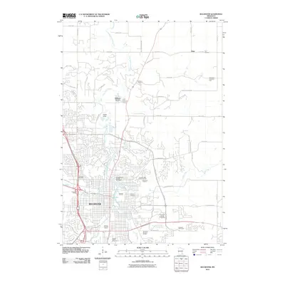 2010 Rochester2010 Print · USGSRochester at the start of the 2010s shows a thriving regional center expanding across the banks of the South Fork Zumbro River. Researchers can trace local history through numerous sites including Oakwood Cemetery, the Olmsted County Fairgrounds, and the rural community of Ringe.
 - 2010 Map of Douglas, 2010 Print
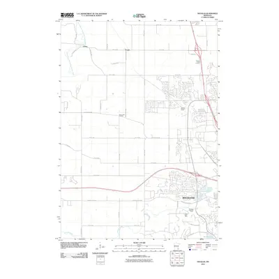 2010 Douglas2010 Print · USGSRochester at the start of the 2010s shows a landscape of steady suburban growth meeting long-standing rural settlements. Genealogists and local researchers can trace the edges of the city near Camp Edith Mayo or find family history at Pleasant Prairie Cemetery and Genoa.
 - 2010 Map of Simpson, 2010 Print
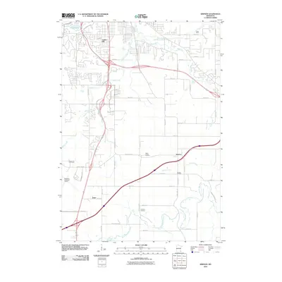 2010 Simpson2010 Print · USGSOlmsted County rural life and aviation history intersect at the start of the twenty-first century as Rochester expands south. Genealogists and local historians can locate Saint Bridget Cemetery and Fairview Cemetery or trace the early paths of Simpson and Judge.
 - 2010 Map of Salem Corners, 2010 Print
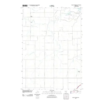 2010 Salem Corners2010 Print · USGSOlmsted County at the start of the 2010s reveals a landscape defined by the South Fork Zumbro River and the rural crossroads of Salem Corners. Researchers can trace local landmarks like Riverside Cemetery and the industrial footprint of the Rochester Municipal Airport.
 - 2013 Map of Simpson, 2013 Print
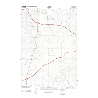 2013 Simpson2013 Print · USGSThe southern fringes of Rochester and the surrounding Olmsted County farmland are captured here in the early 21st century. Genealogists and local historians can locate rural landmarks like Saint Bridget Cem and the small settlement of Simpson.
 - 2013 Map of Salem Corners, 2013 Print
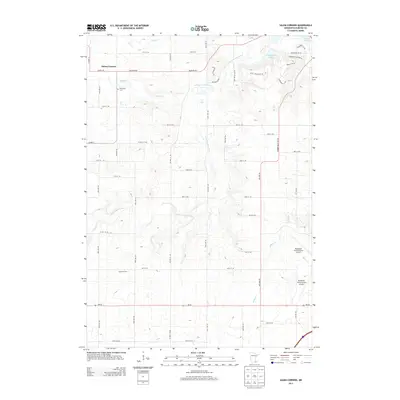 2013 Salem Corners2013 Print · USGSOlmsted County’s rural-to-suburban landscape is documented here just as the early twenty-first century brought new growth southwest of Rochester. Local researchers can locate Riverside Cem, trace the S Fork Zumbro River, and see the footprint of Myhere Farms.
 - 2013 Map of Rochester, 2013 Print
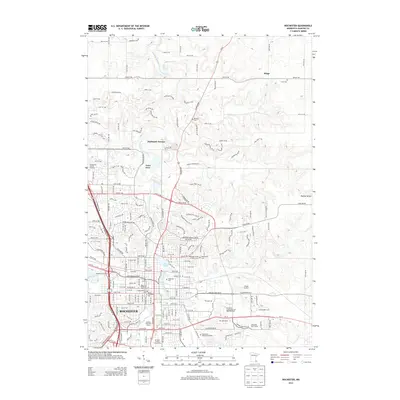 2013 Rochester2013 Print · USGSRochester and the Hadley Valley are captured here in the early twenty-first century, showcasing the city's growth along the Zumbro River. Researchers can locate numerous local landmarks, from the Olmsted County Fairgrounds and Mayo Medical School to family sites like Fitch Cemetery.
 - 2013 Map of Douglas, 2013 Print
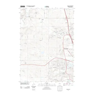 2013 Douglas2013 Print · USGSOlmsted County in the early 2010s shows a landscape of steady suburban expansion around the city of Rochester. Genealogists and local historians can trace burial sites at Center Grove Cem and Pleasant Prairie Cem, or locate the historic Genoa and Douglas settlements.
 - 2016 Map of Simpson, 2016 Print
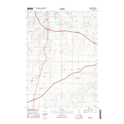 2016 Simpson2016 Print · USGSOlmsted County, Minnesota, is captured here in the mid-2010s, showcasing the area where the city of Rochester meets rural farmland. Researchers can trace the development of the Rochester International Airport or locate family sites at Saint Bridget Cem and Jerusalem Cem.
Showing maps 1-25 of 36
Top cities near Rochester
- Marion historical maps
- Kasson historical maps
- Stewartville historical maps
- Byron historical maps
- Pine Island historical maps
- Oronoco historical maps
See more
Top neighborhoods of Rochester
Frequently asked questions
- What are the different types of historical maps available for Rochester?
- What is the oldest map of Rochester?
- Where can I purchase historical maps of Rochester for my home or office?
- Where can I download high-res historical maps of Rochester?
- Are there historical topographic maps available for Rochester?
- Is there historical aerial imagery available for Rochester?
- Where are historical maps of Rochester sourced from?