2020s Maps of Orwell Township, Minnesota
Explore 4 historic maps of Orwell Township from the 2020s. These maps offer a rare glimpse into what life looked like during the 2020s — showing old roads, neighborhoods, homes, and landmarks that have changed or disappeared over time.
Whether you're researching your family's past, planning a metal detecting trip, or studying how Orwell Township's landscape evolved across the 2020s, these high-resolution maps are a powerful tool for exploring the history of this region.
- Focus on a specific era: All maps on this page are from the 2020s, giving you a focused view of this time period.
- See what’s changed: Compare century-old streets, trails, and buildings to today's modern landscape using overlays and satellite layers.
- Research with precision: Use these maps for genealogy, historical research, land use analysis, or educational projects.
- View, download, or print: Maps are fully viewable online in high resolution, and can be downloaded or printed for your own records.
Start exploring Orwell Township's history through authentic maps from the 2020s. This is your window into the past.
Orwell Township, MN maps
(4)- 2022 Map of Campbell NE, 2022 Print
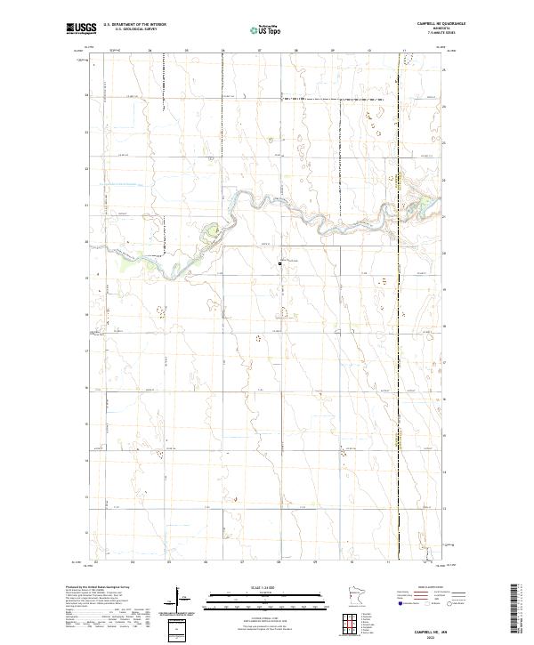 2022 Campbell NE2022 Print · USGSThe Wilkin and Otter Tail county line comes alive in this 2020s survey of the Minnesota prairie landscape. Local historians can trace the course of the Otter Tail River and locate the Vukku Church Cem or Old Vikku Lutheran Cem.
 - 2022 Map of Orwell Lake, 2022 Print
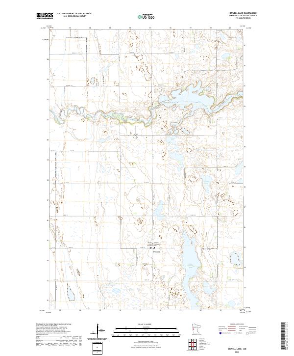 2022 Orwell Lake2022 Print · USGSWestern Minnesota’s agricultural landscape is documented here in the early twenty-first century, centered on the small community of Western. Family historians can trace local roots at Western Cem and the Emmanuel Lutheran Church along the Otter Tail River.
 - 2022 Map of Foxhome, 2022 Print
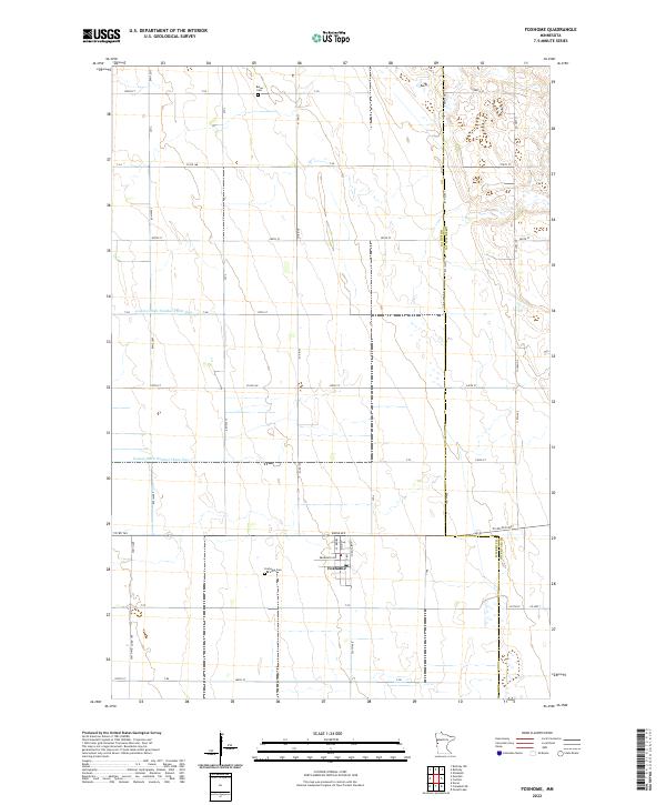 2022 Foxhome2022 Print · USGSThe rural landscape around Foxhome is captured in the early twenty-first century, showcasing a region defined by its agricultural grid and water management. Researchers can locate family landmarks like Foxhome Cem and Burau Cem or trace the path of County Ditch Number Thirty One.
 - 2022 Map of Carlisle, 2022 Print
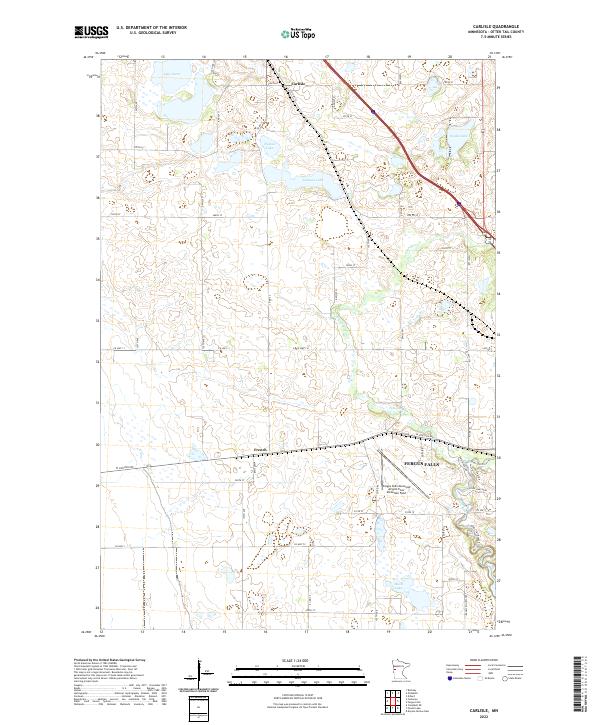 2022 Carlisle2022 Print · USGSOtter Tail County's glacial landscape is captured here in the early twenty-first century, centered on the communities of Carlisle and French. Researchers can trace the winding course of the Pelican River and locate family landmarks near Lake Oscar and Johnson Lake.
End of results
Showing maps 1-4 of 4
Top cities near Orwell Township
- Fergus Falls historical maps
- Rothsay historical maps
- Campbell historical maps
- Carlisle historical maps
- Elizabeth historical maps
- Wendell historical maps
See more
Frequently asked questions
- What are the different types of historical maps available for Orwell Township?
- What is the oldest map of Orwell Township?
- Where can I purchase historical maps of Orwell Township for my home or office?
- Where can I download high-res historical maps of Orwell Township?
- Are there historical topographic maps available for Orwell Township?
- Is there historical aerial imagery available for Orwell Township?
- Where are historical maps of Orwell Township sourced from?