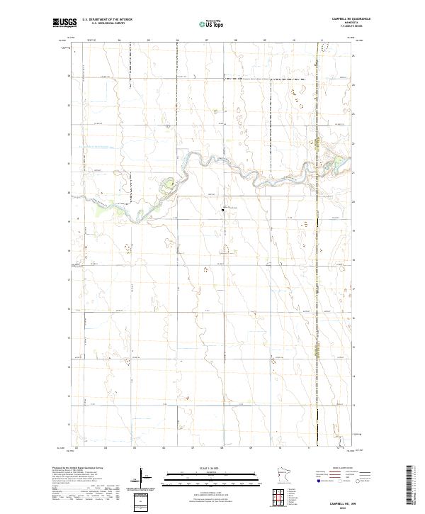
2022 Map of Campbell NE
USGS Topo · Published 2022About this map
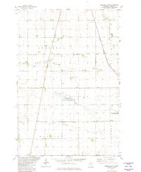
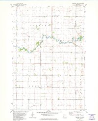
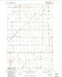
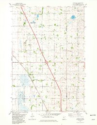
The Otter Tail River meanders across this rural landscape, defining the character of the borderlands between Wilkin Co and Otter Tail Co. The agricultural orientation of the region is evident in the straight-line channel of the Co-operative Ditch Number One and the network of county roads like Co Hwy 8 and Co Hwy 19 that parcel the land into precise sections. Genealogists will find particular value in the presence of the Vukku Church Cem and the Old Vikku Lutheran Cem, which stand as landmarks of the area's early community and religious history. The Otter Tail River Trl follows the natural curve of the water, providing a contrast to the geometric grid of the surrounding townships, including t132n r45w and t131n r45w.
Find a feature on this map
29 named features on this map. Tap any name to fly to it.
Don’t see what you’re looking for? This feature index may not catch every label — zoom into the map to look around manually.
Map Details
Editions of this 2022 Campbell NE Map
This is the sole edition of this map. No revisions or reprints were ever made.
Historical Maps of Orwell Township Through Time
16 maps found
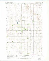
1966 Wolverton SE
Wilkin County, MN
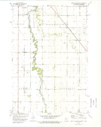
1973 South of Wahpeton
Wilkin County, MN
1973 Wahpeton NE
Wilkin County, MN
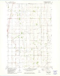
1981 Barnesville SW
Wilkin County, MN
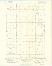
1981 Campbell NE
Wilkin County, MN
1981 Everdell
Wilkin County, MN
1981 Lawndale
Wilkin County, MN
1981 Rothsay NW
Wilkin County, MN
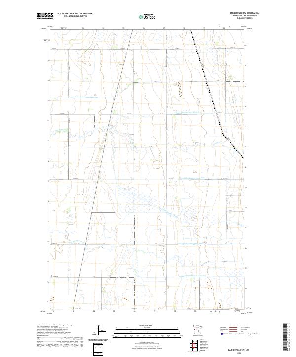
2022 Barnesville SW
Wilkin County, MN
2022 Campbell NE
Wilkin County, MN
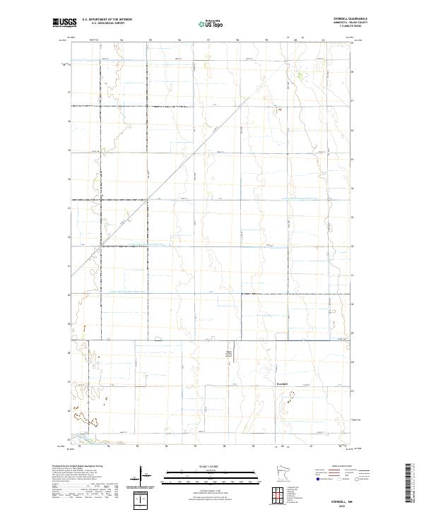
2022 Everdell
Wilkin County, MN
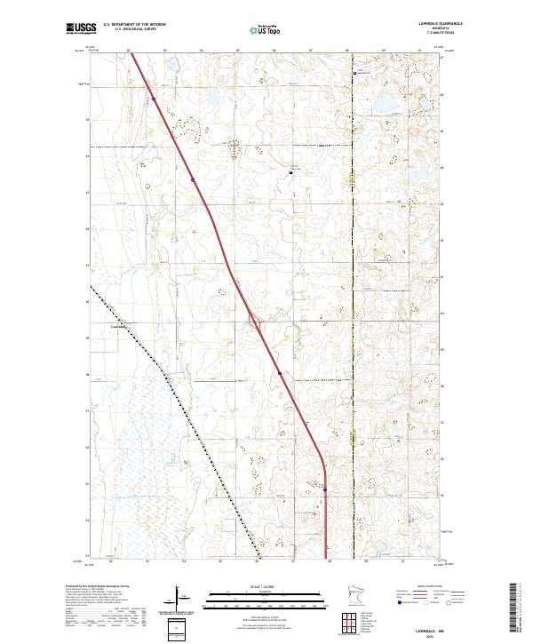
2022 Lawndale
Wilkin County, MN
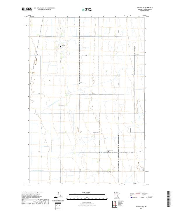
2022 Rothsay NW
Wilkin County, MN
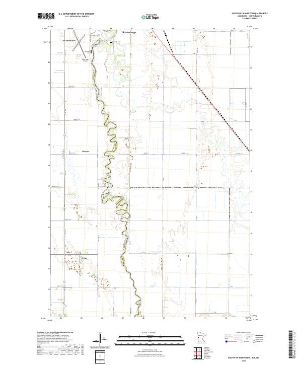
2022 South of Wahpeton
Wilkin County, MN
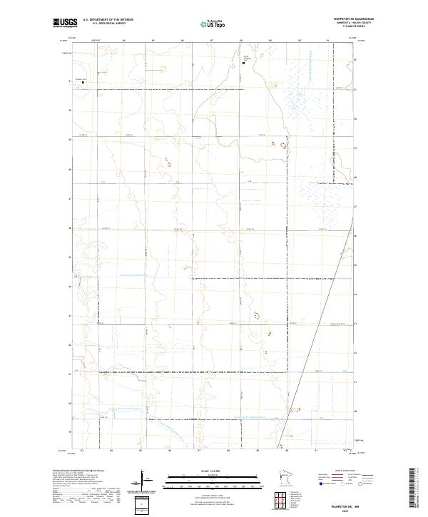
2022 Wahpeton NE
Wilkin County, MN
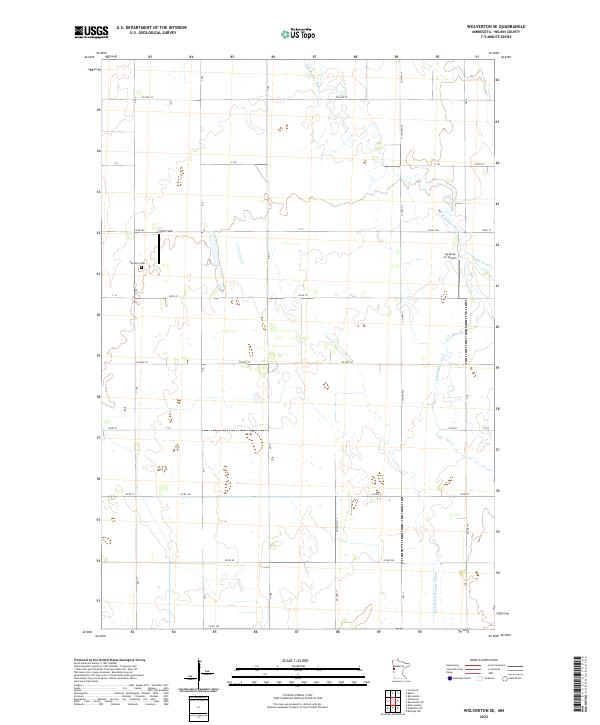
2022 Wolverton SE
Wilkin County, MN