Old Maps of Tordenskjold Township, Minnesota for Hiking & Exploration
Hike through history with 31 historic maps of Tordenskjold Township. Explore old trails, ghost towns, and forgotten backroads — perfect for outdoor adventurers and local explorers.
- Rediscover forgotten places: Map out old mining camps, roads, and footpaths that no longer exist on modern maps.
- Layer with modern tools: Combine with LiDAR or satellite views to plan hikes through historical terrain.
- Made for exploration: Popular among hikers, overlanders, and local history lovers.
Use these maps to find adventure and explore the hidden past of Tordenskjold Township.
Tordenskjold Township, MN maps
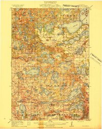
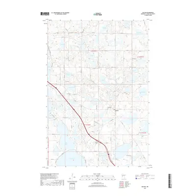
(31)- 1913 Map of Ashby
 1913 Ashby1913 Print · USGSBefore the modernization of the Midwest, this part of Minnesota was a patchwork of numbered school districts and vital rail lines. Genealogists can trace family footprints near Dalton or search for local landmarks like School No 81, Tenmile Lake, and the Northern Pacific RR.4 unique versions available
 - 1915 Map of Underwood
 1915 Underwood1915 Print · USGSOtter Tail County is shown here in the early twentieth century as a thriving network of small school districts and lakeside townships. You can trace the Northern Pacific rail line through Underwood or locate local landmarks like School No 207 Weggeland and Maine.3 unique versions available
 - 1953 Map of Brainerd, 1966 Print
 1953 Brainerd1966 Print · USGSCentral Minnesota's lake country and iron ranges are detailed in the mid-fifties, showing the intersection of industry and wilderness. Researchers can locate specific local landmarks like the Crow Wing County Courthouse or trace the early paths of the Soo Line Railroad and the Cuyuna Range Iron Mines.3 unique versions available
 - 1957 Map of Brainerd
 1957 Brainerd1957 Print · USGSNorth-central Minnesota's lake-rich landscape is captured in the mid-1950s as a crossroads of rail, river, and forest. Genealogists and historians can trace the paths of the Great Northern and Soo Line railroads through hubs like Brainerd, Wadena, and Detroit Lakes.
 - 1958 Map of Brainerd
 1958 Brainerd1958 Print · USGSCentral Minnesota in the late fifties is a landscape of dense lake chains, rail hubs, and sprawling state forests. Genealogists and local historians can trace old property alignments near the Mississippi River or locate family sites in Brainerd, Little Falls, and Detroit Lakes.
 - 1965 Map of Brainerd
 1965 Brainerd1965 Print · USGSNorth-central Minnesota in the mid-fifties presents a complex landscape of sprawling lake systems and established rail corridors. Genealogists and historians can trace the growth of timber towns along the Northern Pacific RR and explore early borders of the White Earth Indian Reservation or Tamarac National Wildlife Refuge.
 - 1973 Map of Wall Lake, 1975 Print
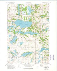
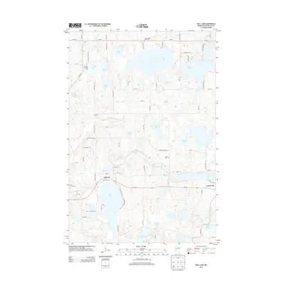
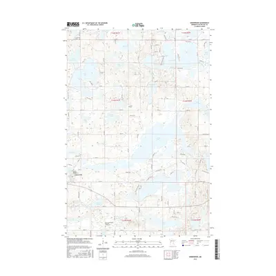
 1973 Wall Lake1975 Print · USGSOtter Tail County's glacial lake country is captured here in the early 1970s as a landscape of rural townships and water-based industry. Local historians can trace family roots through the Swedish Ch Cem, Vang Cem, and the village of Underwood.
 - 1973 Map of Dalton, 1975 Print
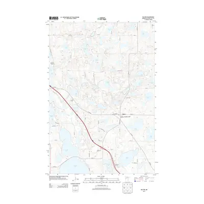
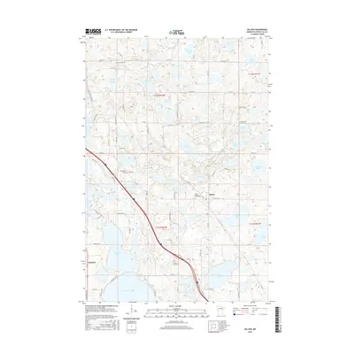
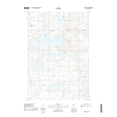
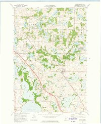 1973 Dalton1975 Print · USGSOtter Tail County's lake-rich landscape is captured here in the early 1970s, centered on the rail-side community of Dalton. Genealogists and local historians can trace the foundations of this farming region through the Sarpsborg Cem, Tenmile Lake Ch, and the winding Pomme de Terre River.
 - 1973 Map of Stalker Lake, 1975 Print
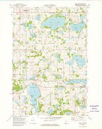
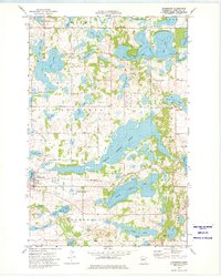
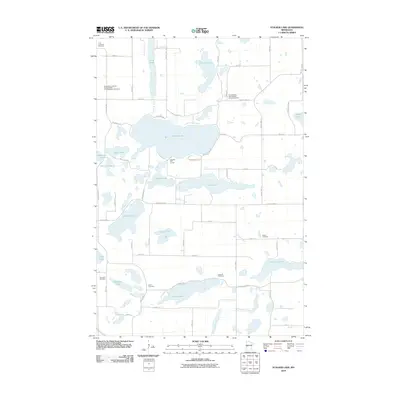
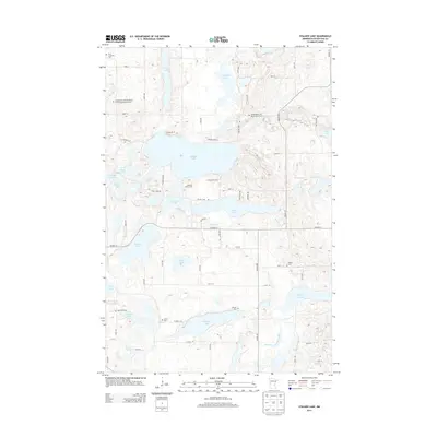
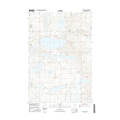
 1973 Stalker Lake1975 Print · USGSOtter Tail County’s lake-studded landscape is captured here in the early 1970s, showcasing the rural character of Tordenskjold and Eagle Lake. Genealogists and local historians can trace family-named sites and community centers like St Olaf Cem, Tordenskjold Ch, and the central Townhall.
 - 1973 Map of Underwood, 1975 Print
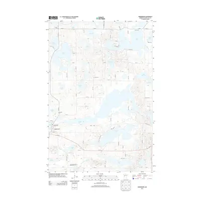
 1973 Underwood1975 Print · USGSLakeside life in Otter Tail County is meticulously documented in the 1970s, showcasing the intricate water network between Underwood and the Otter Tail River. Researchers can trace family ties at the Rindal Cem or explore the rail corridor of the Burlington Northern near North Turtle Lake.
 - 1986 Map of Battle Lake
 1986 Battle Lake1986 Print · USGSMinnesota's lake-rich glacial heartland is captured in the mid-1980s, showcasing a landscape defined by water and rail. Genealogists and collectors can trace the rural sections around Battle Lake and Parkers Prairie or locate family sites near Otter Tail Lake and Clitherall.2 unique versions available
 - 2010 Map of Wall Lake, 2010 Print
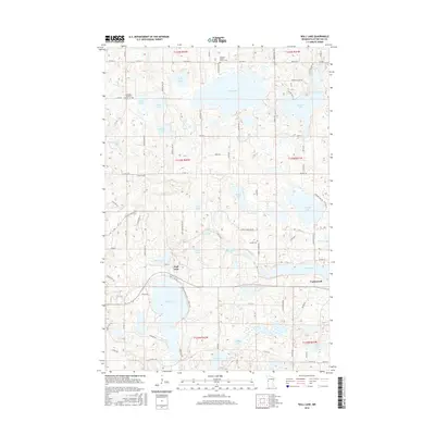
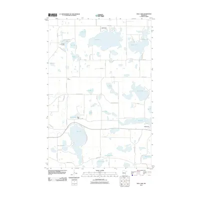 2010 Wall Lake2010 Print · USGSCovers Tordenskjold Township, including Underwood, Dane Prairie Township, and other nearby areas
 - 2010 Map of Dalton, 2010 Print
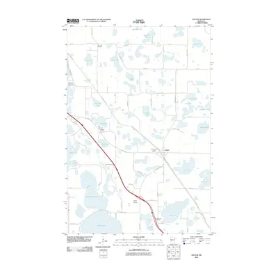 2010 Dalton2010 Print · USGSCovers Tordenskjold Township, including Dalton, Dane Prairie Township, and other nearby areas
 - 2010 Map of Underwood, 2010 Print
 2010 Underwood2010 Print · USGSCovers Tordenskjold Township, including Underwood, Everts Township, and other nearby areas
 - 2010 Map of Stalker Lake, 2010 Print
 2010 Stalker Lake2010 Print · USGSCovers Tordenskjold Township, including Eagle Lake Township, Saint Olaf Township, and other nearby areas
 - 2013 Map of Wall Lake, 2013 Print
 2013 Wall Lake2013 Print · USGSCovers Tordenskjold Township, including Underwood, Dane Prairie Township, and other nearby areas
 - 2013 Map of Dalton, 2013 Print
 2013 Dalton2013 Print · USGSCovers Tordenskjold Township, including Dalton, Dane Prairie Township, and other nearby areas
 - 2013 Map of Underwood, 2013 Print
 2013 Underwood2013 Print · USGSCovers Tordenskjold Township, including Underwood, Everts Township, and other nearby areas
 - 2013 Map of Stalker Lake, 2013 Print
 2013 Stalker Lake2013 Print · USGSCovers Tordenskjold Township, including Eagle Lake Township, Saint Olaf Township, and other nearby areas
 - 2016 Map of Underwood, 2016 Print
 2016 Underwood2016 Print · USGSCovers Tordenskjold Township, including Underwood, Everts Township, and other nearby areas
 - 2016 Map of Wall Lake, 2016 Print
 2016 Wall Lake2016 Print · USGSCovers Tordenskjold Township, including Underwood, Dane Prairie Township, and other nearby areas
 - 2016 Map of Dalton, 2016 Print
 2016 Dalton2016 Print · USGSCovers Tordenskjold Township, including Dalton, Dane Prairie Township, and other nearby areas
 - 2016 Map of Stalker Lake, 2016 Print
 2016 Stalker Lake2016 Print · USGSCovers Tordenskjold Township, including Eagle Lake Township, Saint Olaf Township, and other nearby areas
 - 2019 Map of Dalton, 2019 Print
 2019 Dalton2019 Print · USGSCovers Tordenskjold Township, including Dalton, Dane Prairie Township, and other nearby areas
 - 2019 Map of Stalker Lake, 2019 Print
 2019 Stalker Lake2019 Print · USGSCovers Tordenskjold Township, including Eagle Lake Township, Saint Olaf Township, and other nearby areas
Showing maps 1-25 of 31
Top cities near Tordenskjold Township
- Fergus Falls historical maps
- Battle Lake historical maps
- Maine historical maps
- Ottertail historical maps
- Amor historical maps
- Ashby historical maps
See more
Frequently asked questions
- What are the different types of historical maps available for Tordenskjold Township?
- What is the oldest map of Tordenskjold Township?
- Where can I purchase historical maps of Tordenskjold Township for my home or office?
- Where can I download high-res historical maps of Tordenskjold Township?
- Are there historical topographic maps available for Tordenskjold Township?
- Is there historical aerial imagery available for Tordenskjold Township?
- Where are historical maps of Tordenskjold Township sourced from?