Old Maps of Barry Township, Minnesota for Genealogy
Trace your family roots with 36 historic maps of Barry Township. These high-res maps reveal old neighborhoods, homesites, landmarks, and streets — helping you uncover where your ancestors lived and how the area evolved over time.
- Explore historic neighborhoods: Identify where your relatives may have lived in the 1800s or 1900s.
- Compare maps over time: Trace the changes in streets, buildings, and landmarks for multi-generational research.
- Perfect for genealogy & ancestry research: Used by family historians and researchers to map out lineage and migration.
These maps are an incredible resource for exploring your personal connection to Barry Township's past.
Barry Township, MN maps
(36)- 1953 Map of Duluth, 1964 Print
 1953 Duluth1964 Print · USGSNortheastern Minnesota and northwestern Wisconsin are shown here during a period of industrial maturity and expanding conservation. Genealogists and historians can trace rail-connected towns like McGrath and Wahkon, or locate heritage sites within the Fond du Lac Indian Reservation.2 unique versions available
 - 1953 Map of Stillwater, 1980 Print
 1953 Stillwater1980 Print · USGSThe Twin Cities and the St. Croix Valley are captured in this mid-century survey as the interstate era began to transform the Upper Midwest. Genealogists and historians can trace the rail-and-river geography of Stillwater, locate landmarks in Anoka, or explore the sprawling St Croix State Park.
 - 1955 Map of Stillwater, 1965 Print
 1955 Stillwater1965 Print · USGSThe Upper St. Croix Valley and the growing Twin Cities area are shown here during the mid-fifties, before the interstate era transformed the regional commute. You can trace the lines of the Northern Pacific RR through towns like Rush City or locate the Saint Croix Indian Reservation.
 - 1958 Map of Stillwater
 1958 Stillwater1958 Print · USGSThe Upper Mississippi and St. Croix River valleys appear in the mid-fifties as the Twin Cities expanded north. Genealogists can locate family landmarks like Oak Park Cem, Saint Michael Church, and the Soo Line RR rail corridors.2 unique versions available
 - 1958 Map of Duluth
 1958 Duluth1958 Print · USGSNortheastern Minnesota and the Wisconsin borderlands are shown in detail during the late 1950s, centered on the bustling rail yards and ports of Duluth. You can trace the historic routes of the Soo Line and Duluth Missabe & Iron Range through small towns like McGrath, Bruno, and Wrenshall.
 - 1961 Map of Sandstone, 1963 Print
 1961 Sandstone1963 Print · USGSPine County in the early sixties centers on the river-and-rail corridor through Sandstone and Hinckley. Researchers can trace rural lineages through the Dell Grove Cem, Rose Hill Cem, and local schoolhouses like Cloverdale Sch.2 unique versions available
 - 1961 Map of Pine City, 1963 Print
 1961 Pine City1963 Print · USGSPine City and the surrounding river valleys are captured here in the early 1960s as Interstate 35 began to reshape the region. Genealogists can trace family footprints across numerous sites like the Bohemian Cem, Milburn Ch, and over ten numbered schoolhouses.2 unique versions available
 - 1965 Map of Stillwater
 1965 Stillwater1965 Print · USGSThe Twin Cities and the St. Croix Valley are mapped here during a period of significant post-war growth and industrial transit. Genealogists and historians can trace rail lines like the Northern Pacific RR through towns such as Rush City, Amery, and Balsam Lake.
 - 1975 Map of Stillwater
 1975 Stillwater1975 Print · USGSThe Twin Cities and the St. Croix Valley are captured in the mid-seventies, showing the urban growth of Minneapolis and St Paul. Researchers can trace old rail corridors of the Northern Pacific RR and locate tribal lands at the Mille Lacs Indian Reservation.2 unique versions available
 - 1980 Map of Sandstone
 1980 Sandstone1980 Print · USGSPine County and the Minnesota-Wisconsin borderlands are shown here in the early eighties as a region of dense state forests and river corridors. Genealogists and historians can trace rail-town development along the Burlington Northern including Sandstone, Askov, and Hinckley.
 - 1982 Map of Sandstone South
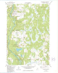 1982 Sandstone South1982 Print · USGSThe Kettle River corridor in Pine County appears here in the early eighties, highlighting a landscape defined by extensive wildlife refuges and state park lands. Researchers can trace the boundaries of the Sandstone Federal Correctional Institution or locate local landmarks like Maple Island and the Grindstone River.
 - 1982 Map of Hinckley
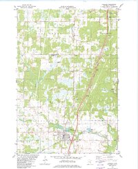 1982 Hinckley1982 Print · USGSPine County's rail and river landscape is captured here in the early eighties as the modern highway system bypasses traditional settlements. Genealogists and local historians can trace family sites at Emmanuel Ch, Evergreen Memorial Park, and the State Fish Hatchery.
 - 1983 Map of Cedar Lake, 1984 Print
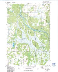 1983 Cedar Lake1984 Print · USGSPine County's river-fed lowlands are captured here in the early 1980s as the Kettle River winds through dense state forests and parks. Outdoor enthusiasts and local historians can trace the snowmobile trails and locate features like Big Eddy, the Crosby settlement, and Cedar Lake.
 - 1983 Map of Beroun, 1984 Print
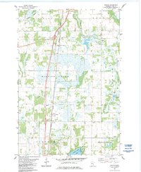 1983 Beroun1984 Print · USGSPine County in the early eighties is mapped here as a network of rail-side settlements and winding marshlands. Genealogists and local historians can trace family locations near St Joseph Cem, the village of Beroun, and the Poke station.2 unique versions available
 - 1985 Map of Grantsburg
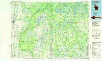 1985 Grantsburg1985 Print · USGSThe river borderlands of Minnesota and Wisconsin come alive in the mid-1980s, showcasing the intricate water networks and forest preserves of Burnett and Pine counties. Trace the rail lines of the Soo Line or find rural landmarks like Trade Lake Ch and Hildas Corner.2 unique versions available
 - 1991 Map of Hinckley, 1995 Print
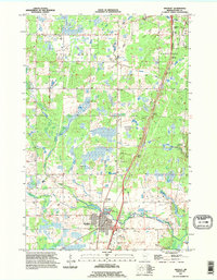 1991 Hinckley1995 Print · USGSPine County in the early nineties shows a landscape shaped by the Grindstone River and the Burlington Northern railroad. Genealogists and researchers can locate landmarks like the State Fish Hatchery, the small village of Friesland, and the Municipal Airport.
 - 2010 Map of Cedar Lake, 2010 Print
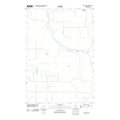 2010 Cedar Lake2010 Print · USGSPine County during the early twenty-first century shows a landscape shaped by the Kettle River and local conservation efforts. Trace property and drainage patterns near Cedar Lake, the Calvin Harth Wildlife Structure Dam, and the river bends at Big Eddy.
 - 2010 Map of Beroun, 2010 Print
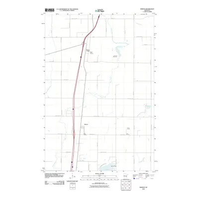 2010 Beroun2010 Print · USGSPine County's rural character is on full display in the early 2000s, centered on the historic community of Beroun. Genealogists and historians can locate family landmarks like Saint Joseph Cemetery, Cech Cemetery, and the Lawrence Mans Dam.
 - 2010 Map of Sandstone South, 2010 Print
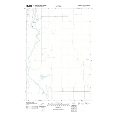 2010 Sandstone South2010 Print · USGSPine County's river-cut terrain is shown here in the years following the millennium, centered on the powerful flow of the Kettle River. Genealogists and historians can locate Spring Park Cemetery and trace industrial and institutional sites like the Kettle River Dam and the Sandstone Federal Correctional Institution.
 - 2010 Map of Hinckley, 2010 Print
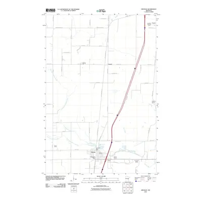 2010 Hinckley2010 Print · USGSHinckley and the surrounding Pine County landscape are captured in this recent survey, showcasing the area's transition into a regional recreation and transit hub. Local historians can trace family sites at Lutheran Memorial Cemetery or follow the historic rail-to-trail conversion of the Willard Munger Trl.
 - 2013 Map of Sandstone South, 2013 Print
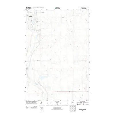 2013 Sandstone South2013 Print · USGSPine County’s river-carved landscape is documented here in the early twenty-first century, centered on the historic town of Sandstone. Genealogists and local historians can trace the Old Military Rd S, find Spring Park Cem, and locate the Sandstone Federal Correctional Institution along the Kettle River.
 - 2013 Map of Hinckley, 2013 Print
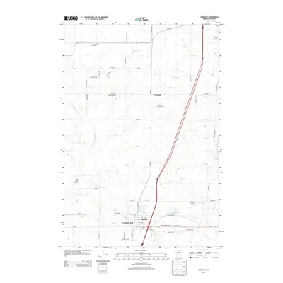 2013 Hinckley2013 Print · USGSHinckley and the surrounding Pine County woodlands are shown here in the early twenty-first century as the area continued to serve as a regional hub. Genealogists and local historians can locate several family burial sites including Rose Hill Cem and Dell Grove Cem, or trace the path of the Old Military Rd.
 - 2013 Map of Cedar Lake, 2013 Print
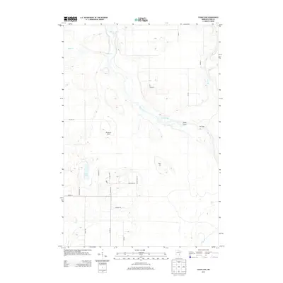 2013 Cedar Lake2013 Print · USGSPine County and the banks of the Kettle River appear here in the early twenty-first century, showing a landscape defined by water and woods. Trace the natural river bends past Lords Slough, or locate properties near Cedar Lake and the Big Eddy.
 - 2013 Map of Beroun, 2013 Print
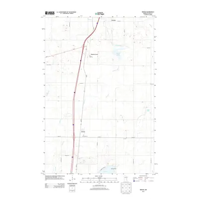 2013 Beroun2013 Print · USGSPine County's rural character is on full display in this early twenty-first-century survey of the communities south of Hinckley. Genealogists and local historians can locate specific sites like Saint Joseph Cem, Cech Cem, and the settlement at Beroun.
 - 2016 Map of Beroun, 2016 Print
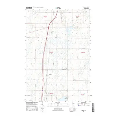 2016 Beroun2016 Print · USGSThe community of Beroun and the surrounding Pine County wetlands are captured here in the mid-2010s. Genealogists can locate family landmarks like Saint Joseph Cem and Cech Cem, or trace the winding course of Mission Creek through the local landscape.
Showing maps 1-25 of 36
Top cities near Barry Township
- Pine City historical maps
- Sandstone historical maps
- Grantsburg historical maps
- Hinckley historical maps
- Askov historical maps
- Finlayson historical maps
See more
Frequently asked questions
- What are the different types of historical maps available for Barry Township?
- What is the oldest map of Barry Township?
- Where can I purchase historical maps of Barry Township for my home or office?
- Where can I download high-res historical maps of Barry Township?
- Are there historical topographic maps available for Barry Township?
- Is there historical aerial imagery available for Barry Township?
- Where are historical maps of Barry Township sourced from?