2000s (21st Century) Maps of Norman Township, Minnesota
Explore 20 historic maps of Norman Township from the 2000s (21st Century). These maps offer a rare glimpse into what life looked like during the 2000s — showing old roads, neighborhoods, homes, and landmarks that have changed or disappeared over time.
Whether you're researching your family's past, planning a metal detecting trip, or studying how Norman Township's landscape evolved across the 2000s, these high-resolution maps are a powerful tool for exploring the history of this region.
- Focus on a specific era: All maps on this page are from the 2000s, giving you a focused view of this time period.
- See what’s changed: Compare century-old streets, trails, and buildings to today's modern landscape using overlays and satellite layers.
- Research with precision: Use these maps for genealogy, historical research, land use analysis, or educational projects.
- View, download, or print: Maps are fully viewable online in high resolution, and can be downloaded or printed for your own records.
Start exploring Norman Township's history through authentic maps from the 2000s. This is your window into the past.
Norman Township, MN maps
(20)- 2010 Map of Willow River, 2010 Print
 2010 Willow River2010 Print · USGSCovers Norman Township, including Willow River, Sturgeon Lake, and other nearby areas
 - 2010 Map of Askov Lookout Tower, 2010 Print
 2010 Askov Lookout Tower2010 Print · USGSCovers Norman Township, including Danforth Township, Bruno Township, and other nearby areas
 - 2010 Map of Sandstone North, 2010 Print
 2010 Sandstone North2010 Print · USGSCovers Norman Township, including Sandstone, Askov, and other nearby areas
 - 2010 Map of Bruno, 2010 Print
 2010 Bruno2010 Print · USGSCovers Norman Township, including Bruno, Windemere Township, and other nearby areas
 - 2013 Map of Bruno, 2013 Print
 2013 Bruno2013 Print · USGSCovers Norman Township, including Bruno, Windemere Township, and other nearby areas
 - 2013 Map of Askov Lookout Tower, 2013 Print
 2013 Askov Lookout Tower2013 Print · USGSCovers Norman Township, including Danforth Township, Bruno Township, and other nearby areas
 - 2013 Map of Sandstone North, 2013 Print
 2013 Sandstone North2013 Print · USGSCovers Norman Township, including Sandstone, Askov, and other nearby areas
 - 2013 Map of Willow River, 2013 Print
 2013 Willow River2013 Print · USGSCovers Norman Township, including Willow River, Sturgeon Lake, and other nearby areas
 - 2016 Map of Askov Lookout Tower, 2016 Print
 2016 Askov Lookout Tower2016 Print · USGSCovers Norman Township, including Danforth Township, Bruno Township, and other nearby areas
 - 2016 Map of Bruno, 2016 Print
 2016 Bruno2016 Print · USGSCovers Norman Township, including Bruno, Windemere Township, and other nearby areas
 - 2016 Map of Willow River, 2016 Print
 2016 Willow River2016 Print · USGSCovers Norman Township, including Willow River, Sturgeon Lake, and other nearby areas
 - 2016 Map of Sandstone North, 2016 Print
 2016 Sandstone North2016 Print · USGSCovers Norman Township, including Sandstone, Askov, and other nearby areas
 - 2019 Map of Willow River, 2019 Print
 2019 Willow River2019 Print · USGSCovers Norman Township, including Willow River, Sturgeon Lake, and other nearby areas
 - 2019 Map of Bruno, 2019 Print
 2019 Bruno2019 Print · USGSCovers Norman Township, including Bruno, Windemere Township, and other nearby areas
 - 2019 Map of Askov Lookout Tower, 2019 Print
 2019 Askov Lookout Tower2019 Print · USGSCovers Norman Township, including Danforth Township, Bruno Township, and other nearby areas
 - 2019 Map of Sandstone North, 2019 Print
 2019 Sandstone North2019 Print · USGSCovers Norman Township, including Sandstone, Askov, and other nearby areas
 - 2022 Map of Bruno, 2022 Print
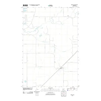
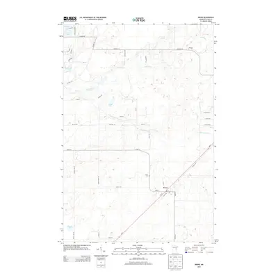
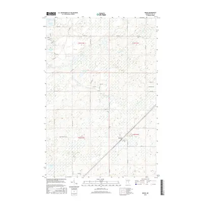
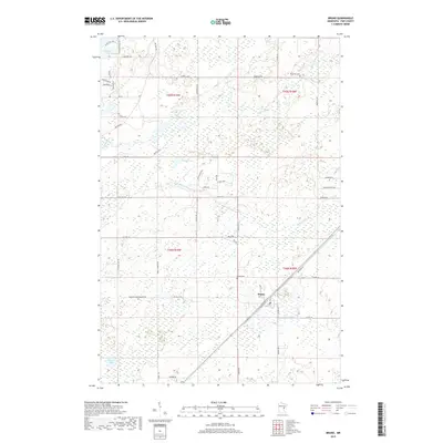
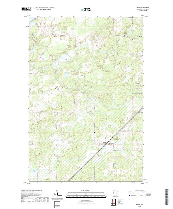 2022 Bruno2022 Print · USGSThe Pine County wetlands and river systems are captured here in the early twenty-first century. Genealogists and local historians can trace family locations near the Bruno Cemetery, Riverside Cemetery, and the banks of the Willow River.
 - 2022 Map of Sandstone North, 2022 Print
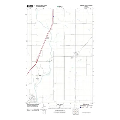
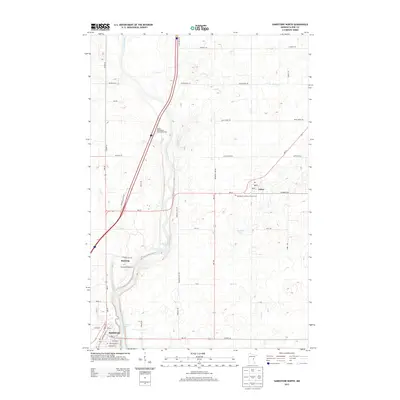
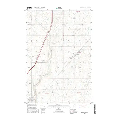
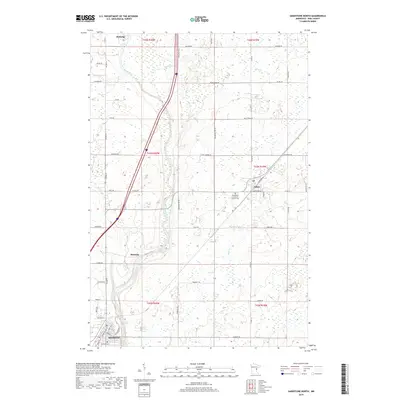
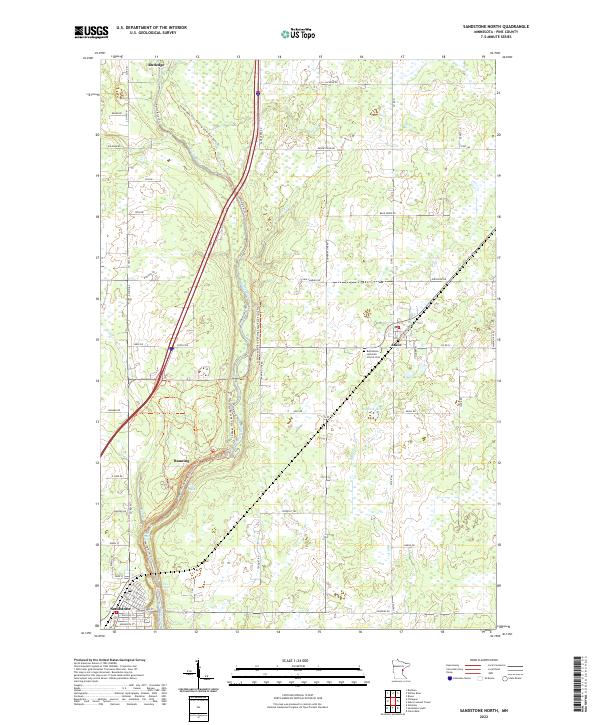 2022 Sandstone North2022 Print · USGSPine County's river-cut landscape is shown in detail during the early twenty-first century, featuring the corridor between the towns of Sandstone and Rutledge. Researchers can trace the winding Kettle River through Banning State Park to find Hell's Gate Rapids and the Bethlehem Lutheran Church Cem.
 - 2022 Map of Askov Lookout Tower, 2022 Print
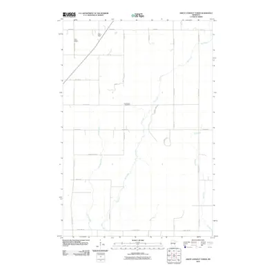
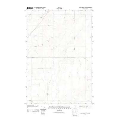
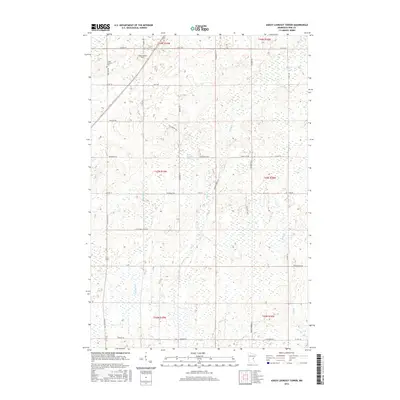
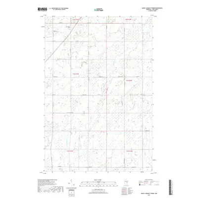
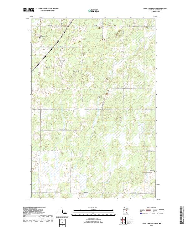 2022 Askov Lookout Tower2022 Print · USGSPine County's rural townships are documented here during the early 2020s, revealing a landscape shaped by winding creeks and a network of named country roads. Genealogists can trace family connections through the Vilstad Lutheran Cem and Danforth Cem, or follow the banks of Partridge Cr and Wolf Cr.
 - 2022 Map of Willow River, 2022 Print
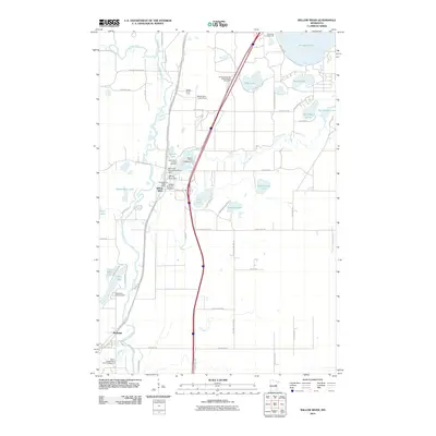
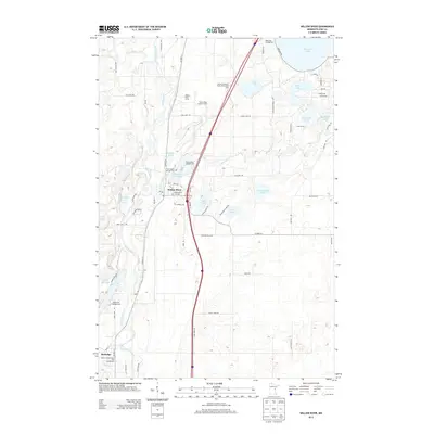
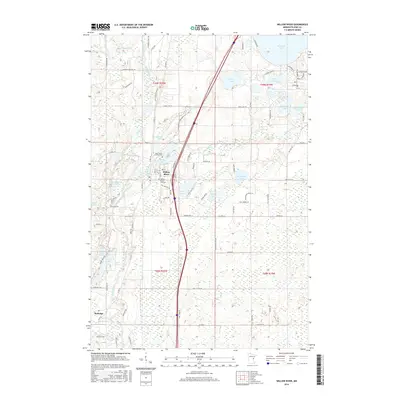
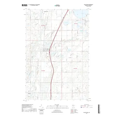
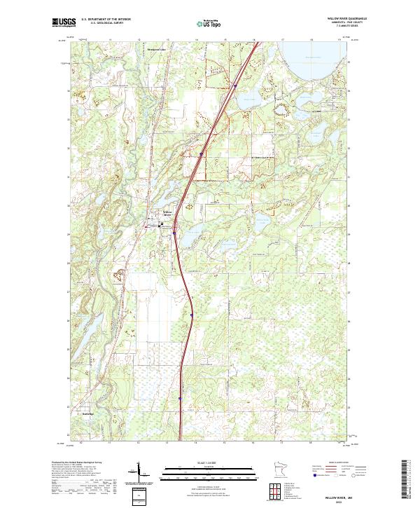 2022 Willow River2022 Print · USGSPine County’s river-fed landscapes come into focus here in the early twenty-first century, showing the enduring layouts of Willow River and Sturgeon Lake. Genealogists and hikers can trace local roots at the Willow River City Cem or follow the historic Willard Munger State Trail.
End of results
Showing maps 1-20 of 20
Top cities near Norman Township
- Moose Lake historical maps
- Sandstone historical maps
- Barnum historical maps
- Willow River historical maps
- Sturgeon Lake historical maps
- Askov historical maps
See more
Frequently asked questions
- What are the different types of historical maps available for Norman Township?
- What is the oldest map of Norman Township?
- Where can I purchase historical maps of Norman Township for my home or office?
- Where can I download high-res historical maps of Norman Township?
- Are there historical topographic maps available for Norman Township?
- Is there historical aerial imagery available for Norman Township?
- Where are historical maps of Norman Township sourced from?