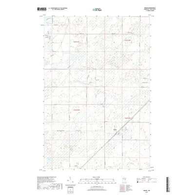
2019 Map of Bruno
USGS Topo · Published 2019About this map
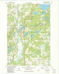
Bruno sits at a crossroads of rail and road in northeastern Minnesota, where the landscape is defined by the winding course of the Willow River and its tributaries. This 2019 survey shows the township structure across four sections including t44n r18w and t45n r19w, revealing a rural pattern of development tied to the area's water bodies and historic routes like Military Rd. The map provides detailed locations for local landmarks such as the Po and Bruno Cem, alongside more remote features like Riverside Cem near the northern boundary. Numerous smaller lakes and creeks, including Stevens Lake and Little Willow River, highlight the low-lying, wetland-rich geography that has shaped local settlement and transportation since the early days of Pine County.
Find a feature on this map
56 named features on this map. Tap any name to fly to it.
Don’t see what you’re looking for? This feature index may not catch every label — zoom into the map to look around manually.
Map Details
Editions of this 2019 Bruno Map
This is the sole edition of this map. No revisions or reprints were ever made.
Other maps of this area

1953 · Duluth
USGS Topo · 1:250,000

1958 · Duluth
USGS Topo · 1:250,000
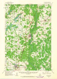
1961 · Sandstone
USGS Topo · 1:62,500
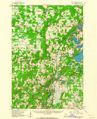
1961 · Moose Lake
USGS Topo · 1:62,500
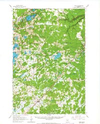
1962 · Bruno
USGS Topo · 1:62,500
1962 · Cloverdale
USGS Topo · 1:62,500
1980 · Sandstone
USGS Topo · 1:100,000
1981 · Askov Lookout Tower
USGS Topo · 1:24,000
1981 · Kerrick
USGS Topo · 1:24,000
1981 · Willow River
USGS Topo · 1:24,000