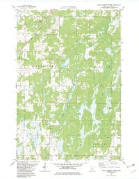
1981 Map of Askov Lookout Tower
USGS Topo · Published 1982About this map
Askov Lookout Tower overlooks a landscape of wetlands and timber in northern Pine County, where the township boundaries of Norman, Bruno, Partridge, Fleming, Sandstone, and Danforth converge. The Burlington Northern railroad cuts a diagonal line across the northwestern corner, passing near Vilstad Ch and several Gravel Pits that reflect the area's geological and industrial character. In the southern half, local community life is anchored by the Townhall, Danforth Cem, and the Sand Creek Chapel.
Find a feature on this map
22 named features on this map. Tap any name to fly to it.
Don’t see what you’re looking for? This feature index may not catch every label — zoom into the map to look around manually.
Map Details
Editions of this 1981 Askov Lookout Tower Map
This is the sole edition of this map. No revisions or reprints were ever made.
Other maps of this area

1953 · Duluth
USGS Topo · 1:250,000

1958 · Duluth
USGS Topo · 1:250,000

1961 · Sandstone
USGS Topo · 1:62,500

1961 · Moose Lake
USGS Topo · 1:62,500

1962 · Bruno
USGS Topo · 1:62,500

1962 · Cloverdale
USGS Topo · 1:62,500

1980 · Sandstone
USGS Topo · 1:100,000
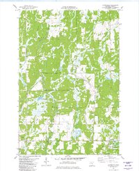
1981 · Cloverdale
USGS Topo · 1:24,000
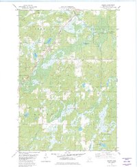
1981 · Kerrick
USGS Topo · 1:24,000

1981 · Willow River
USGS Topo · 1:24,000
Featured Places
- Fleming Township, MN
- Sandstone Township, MN
- Danforth Township, MN
- Partridge Township, MN
- Norman Township, MN