2000s (21st Century) Maps of Pine Island, Minnesota
Explore 10 historic maps of Pine Island from the 2000s (21st Century). These maps offer a rare glimpse into what life looked like during the 2000s — showing old roads, neighborhoods, homes, and landmarks that have changed or disappeared over time.
Whether you're researching your family's past, planning a metal detecting trip, or studying how Pine Island's landscape evolved across the 2000s, these high-resolution maps are a powerful tool for exploring the history of this region.
- Focus on a specific era: All maps on this page are from the 2000s, giving you a focused view of this time period.
- See what’s changed: Compare century-old streets, trails, and buildings to today's modern landscape using overlays and satellite layers.
- Research with precision: Use these maps for genealogy, historical research, land use analysis, or educational projects.
- View, download, or print: Maps are fully viewable online in high resolution, and can be downloaded or printed for your own records.
Start exploring Pine Island's history through authentic maps from the 2000s. This is your window into the past.
Pine Island, MN maps
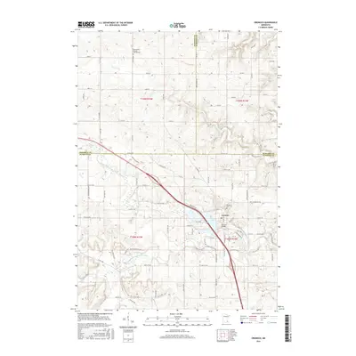
(10)- 2010 Map of Pine Island, 2010 Print
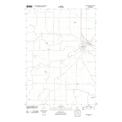 2010 Pine Island2010 Print · USGSCovers Pine Island, including Pine Island Township, Roscoe Township, and other nearby areas
 - 2010 Map of Oronoco, 2010 Print
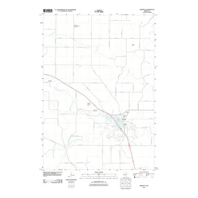 2010 Oronoco2010 Print · USGSCovers Pine Island, including Oronoco, New Haven Township, and other nearby areas
 - 2013 Map of Oronoco, 2013 Print
 2013 Oronoco2013 Print · USGSCovers Pine Island, including Oronoco, New Haven Township, and other nearby areas
 - 2013 Map of Pine Island, 2013 Print
 2013 Pine Island2013 Print · USGSCovers Pine Island, including Pine Island Township, Roscoe Township, and other nearby areas
 - 2016 Map of Oronoco, 2016 Print
 2016 Oronoco2016 Print · USGSCovers Pine Island, including Oronoco, New Haven Township, and other nearby areas
 - 2016 Map of Pine Island, 2016 Print
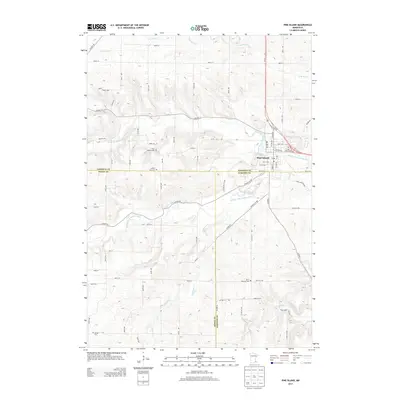
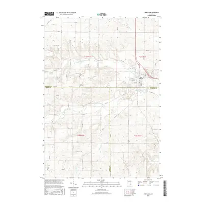 2016 Pine Island2016 Print · USGSCovers Pine Island, including Pine Island Township, Roscoe Township, and other nearby areas
 - 2019 Map of Pine Island, 2019 Print
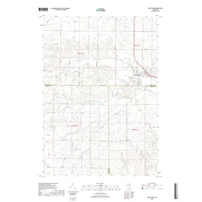 2019 Pine Island2019 Print · USGSCovers Pine Island, including Pine Island Township, Roscoe Township, and other nearby areas
 - 2019 Map of Oronoco, 2019 Print
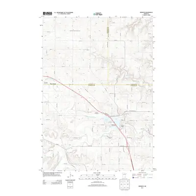
 2019 Oronoco2019 Print · USGSCovers Pine Island, including Oronoco, New Haven Township, and other nearby areas
 - 2022 Map of Oronoco, 2022 Print
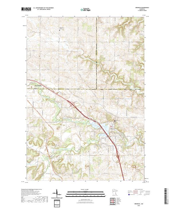 2022 Oronoco2022 Print · USGSSoutheast Minnesota’s river valleys are captured here in the early twenty-first century as the Zumbro River winds through Olmsted and Goodhue counties. Researchers can trace local heritage at Oronoco Cem or follow the waters of Shady Lake and the Middle Fork Zumbro River.
 - 2022 Map of Pine Island, 2022 Print
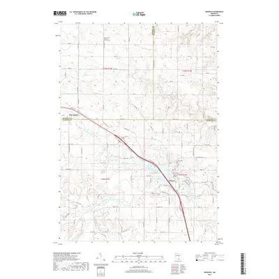
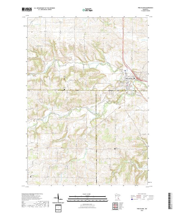 2022 Pine Island2022 Print · USGSThe tri-county border area of Goodhue, Dodge, and Olmsted comes into focus in this contemporary survey of the Zumbro River valley. Researchers can pinpoint long-standing local landmarks like Pine Island Cem, Milton Cem, and the Free Mission Cem.
End of results
Showing maps 1-10 of 10
Top cities near Pine Island
- Rochester historical maps
- Kasson historical maps
- Byron historical maps
- Zumbrota historical maps
- Dodge Center historical maps
- Oronoco historical maps
See more
Frequently asked questions
- What are the different types of historical maps available for Pine Island?
- What is the oldest map of Pine Island?
- Where can I purchase historical maps of Pine Island for my home or office?
- Where can I download high-res historical maps of Pine Island?
- Are there historical topographic maps available for Pine Island?
- Is there historical aerial imagery available for Pine Island?
- Where are historical maps of Pine Island sourced from?