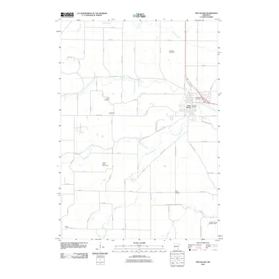
2010 Map of Pine Island
USGS Topo · Published 2010About this map
Pine Island sits at the convergence of the North Branch Middle Fork Zumbro River and the Middle Fork Zumbro River, anchoring this 2010 topographic study of the southeastern Minnesota landscape. The town's layout is centered around the Pine Island Post Office and extends toward the Pine Island Cemetery to the northeast. Beyond the municipal borders, the terrain is defined by a dense grid of rural routes including County Hwy-11 and County Hwy-27, which connect several family-linked landmarks and smaller burial grounds. Genealogists will find interest in the widely dispersed rural cemeteries, such as the Free Mission Cemetery, County Line Cemetery, and Milton Cemetery. Water management is prominent throughout the watershed, noted by structures like the Alberts- Rueg Group Dam and the La Moyne Bruce Detention Dam, which control the flow of Harkcom Creek and Plum Creek as they feed into the Zumbro river system.
Find a feature on this map
66 named features on this map. Tap any name to fly to it.
Don’t see what you’re looking for? This feature index may not catch every label — zoom into the map to look around manually.
Map Details
Editions of this 2010 Pine Island Map
This is the sole edition of this map. No revisions or reprints were ever made.
Other maps of this area

1953 · Saint Paul
USGS Topo · 1:250,000

1959 · Saint Paul
USGS Topo · 1:250,000

1965 · Dodge Center
USGS Topo · 1:24,000

1965 · Concord
USGS Topo · 1:24,000

1965 · Oronoco
USGS Topo · 1:24,000

1965 · Byron
USGS Topo · 1:24,000

1965 · Pine Island
USGS Topo · 1:24,000

1966 · Douglas
USGS Topo · 1:24,000

1968 · Zumbrota
USGS Topo · 1:24,000

1968 · Mazeppa
USGS Topo · 1:24,000