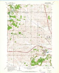
1966 Map of Douglas
USGS Topo · Published 1967About this map
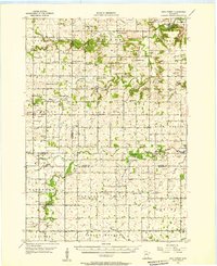
The South Branch Middle Fork Zumbro River cuts through the northwest corner of this 1966 survey, providing a natural anchor for the settlement of Genoa. The landscape is a mix of agricultural plots and protected timber, with a large portion of the northern half designated as the Minnesota Memorial Hardwood State Forest. The era's transportation network is prominently defined by the intersection of the Chicago Great Western and the Chicago and North Western railroads, which facilitated the growth of rural centers like Douglas.
Find a feature on this map
35 named features on this map. Tap any name to fly to it.
Don’t see what you’re looking for? This feature index may not catch every label — zoom into the map to look around manually.
Map Details
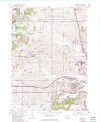
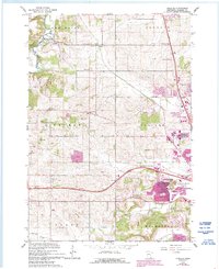
Editions of this 1966 Douglas Map
3 editions found
Other maps of this area

1935 · Rochester
USGS Topo · 1:48,000

1939 · Rochester
USGS Topo · 1:62,500

1953 · Saint Paul
USGS Topo · 1:250,000

1954 · Mason City
USGS Topo · 1:250,000
1955 · Stewartville
USGS Topo · 1:62,500
1955 · High Forest
USGS Topo · 1:62,500

1957 · Mason City
USGS Topo · 1:250,000

1958 · Mason City
USGS Topo · 1:250,000

1959 · Saint Paul
USGS Topo · 1:250,000

1965 · Oronoco
USGS Topo · 1:24,000