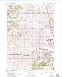
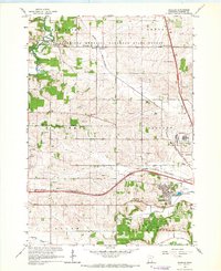
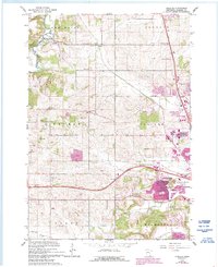
1966 Map of Douglas
USGS Topo · Published 1983About this map
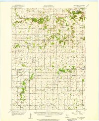
The confluence of the Middle Fork Zumbro River and its South Branch anchors the northern reaches of this Olmsted County survey, where the small settlements of Genoa and Douglas sit amidst the deeply dissected terrain of the Richard J Dorer Memorial Hardwood State Forest. By the mid-1960s, the rural character of townships like New Haven and Kalmar was beginning to meet the westward expansion of Rochester. Evidence of this growth is visible in the suburban developments around Cascade Creek and the presence of a Manufacturing Plant and the Radio Tower (KROC-TV).
Find a feature on this map
30 named features on this map. Tap any name to fly to it.
Don’t see what you’re looking for? This feature index may not catch every label — zoom into the map to look around manually.
Map Details
Editions of this 1966 Douglas Map
3 editions found
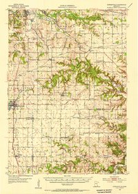
Other maps of this area

1935 · Rochester
USGS Topo · 1:48,000

1939 · Rochester
USGS Topo · 1:62,500

1953 · Saint Paul
USGS Topo · 1:250,000

1954 · Mason City
USGS Topo · 1:250,000
1955 · Stewartville
USGS Topo · 1:62,500
1955 · High Forest
USGS Topo · 1:62,500

1957 · Mason City
USGS Topo · 1:250,000

1958 · Mason City
USGS Topo · 1:250,000

1959 · Saint Paul
USGS Topo · 1:250,000

1965 · Oronoco
USGS Topo · 1:24,000