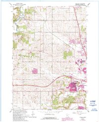
1966 Map of Douglas
USGS Topo · Published 1993About this map
The South Branch Middle Fork Zumbro River snakes through the northern reaches of this landscape, defining the rural character of New Haven and Oronoco townships during the mid-1960s. This survey captures a moment of transition for the region, where established farming communities like Genoa and Douglas coexist with the expanding northern footprint of Rochester. The rural sections are dotted with several historic education and burial sites, including the Stone Corner Sch, Center Grove Cem, and Pleasant Prairie Cem.
Find a feature on this map
26 named features on this map. Tap any name to fly to it.
Don’t see what you’re looking for? This feature index may not catch every label — zoom into the map to look around manually.
Map Details
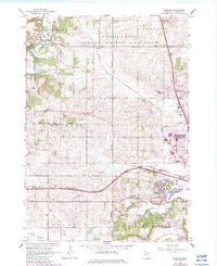
Editions of this 1966 Douglas Map
3 editions found

Other maps of this area

1935 · Rochester
USGS Topo · 1:48,000

1939 · Rochester
USGS Topo · 1:62,500

1953 · Saint Paul
USGS Topo · 1:250,000

1954 · Mason City
USGS Topo · 1:250,000

1955 · Stewartville
USGS Topo · 1:62,500

1955 · High Forest
USGS Topo · 1:62,500

1957 · Mason City
USGS Topo · 1:250,000

1958 · Mason City
USGS Topo · 1:250,000

1959 · Saint Paul
USGS Topo · 1:250,000

1965 · Oronoco
USGS Topo · 1:24,000