2000s (21st Century) Maps of Brooks, Minnesota
Explore 10 historic maps of Brooks from the 2000s (21st Century). These maps offer a rare glimpse into what life looked like during the 2000s — showing old roads, neighborhoods, homes, and landmarks that have changed or disappeared over time.
Whether you're researching your family's past, planning a metal detecting trip, or studying how Brooks's landscape evolved across the 2000s, these high-resolution maps are a powerful tool for exploring the history of this region.
- Focus on a specific era: All maps on this page are from the 2000s, giving you a focused view of this time period.
- See what’s changed: Compare century-old streets, trails, and buildings to today's modern landscape using overlays and satellite layers.
- Research with precision: Use these maps for genealogy, historical research, land use analysis, or educational projects.
- View, download, or print: Maps are fully viewable online in high resolution, and can be downloaded or printed for your own records.
Start exploring Brooks's history through authentic maps from the 2000s. This is your window into the past.
Brooks, MN maps
(10)- 2010 Map of Oklee SW, 2010 Print
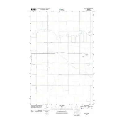 2010 Oklee SW2010 Print · USGSCovers Brooks, including Polk County, Red Lake County, and other nearby areas
 - 2010 Map of Brooks, 2010 Print
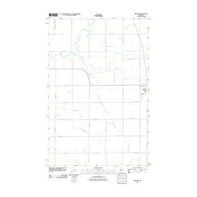 2010 Brooks2010 Print · USGSCovers Brooks, including Polk County, Red Lake County, and other nearby areas
 - 2013 Map of Oklee SW, 2013 Print
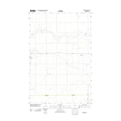 2013 Oklee SW2013 Print · USGSCovers Brooks, including Polk County, Red Lake County, and other nearby areas
 - 2013 Map of Brooks, 2013 Print
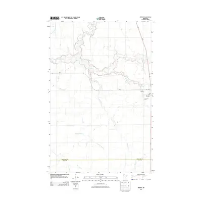 2013 Brooks2013 Print · USGSCovers Brooks, including Polk County, Red Lake County, and other nearby areas
 - 2016 Map of Brooks, 2016 Print
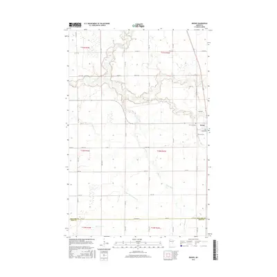 2016 Brooks2016 Print · USGSCovers Brooks, including Polk County, Red Lake County, and other nearby areas
 - 2016 Map of Oklee SW, 2016 Print
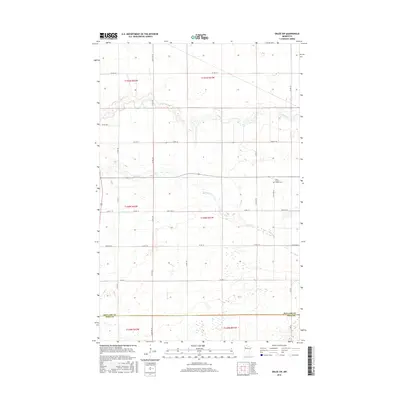 2016 Oklee SW2016 Print · USGSCovers Brooks, including Polk County, Red Lake County, and other nearby areas
 - 2019 Map of Brooks, 2019 Print
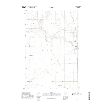 2019 Brooks2019 Print · USGSCovers Brooks, including Polk County, Red Lake County, and other nearby areas
 - 2019 Map of Oklee SW, 2019 Print
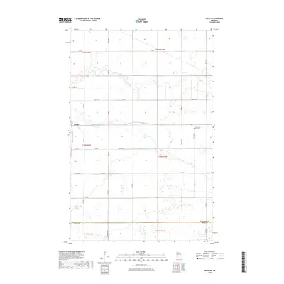 2019 Oklee SW2019 Print · USGSCovers Brooks, including Polk County, Red Lake County, and other nearby areas
 - 2022 Map of Oklee SW, 2022 Print
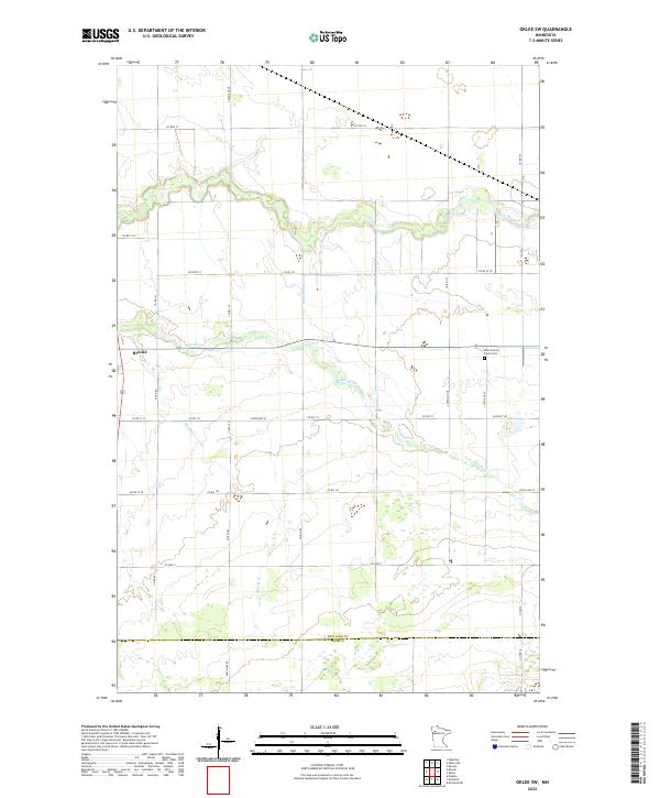 2022 Oklee SW2022 Print · USGSRed Lake County in the early twenty-first century is a landscape of prairie rivers and rural crossroads. Researchers can trace family history at Saint Francis Xavier Cem or follow the waters of the Lost River and Brooks Cr.
 - 2022 Map of Brooks, 2022 Print
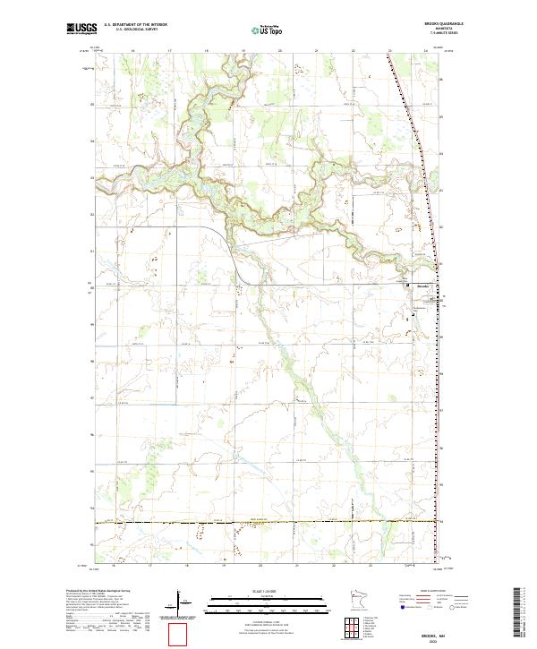 2022 Brooks2022 Print · USGSRed Lake County is captured here in the early twenty-first century, showing a landscape of fertile plains and managed waterways. Researchers can locate Brooks and its surrounding historic sites, including Saint Joseph Cem and the winding Lost River.
End of results
Showing maps 1-10 of 10
Top cities near Brooks
- Fosston historical maps
- McIntosh historical maps
- Erskine historical maps
- Oklee historical maps
- Plummer historical maps
- Garnes historical maps
See more
Frequently asked questions
- What are the different types of historical maps available for Brooks?
- What is the oldest map of Brooks?
- Where can I purchase historical maps of Brooks for my home or office?
- Where can I download high-res historical maps of Brooks?
- Are there historical topographic maps available for Brooks?
- Is there historical aerial imagery available for Brooks?
- Where are historical maps of Brooks sourced from?