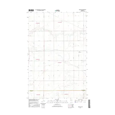
2016 Map of Oklee SW
USGS Topo · Published 2016About this map
Saint Francis Xavier Cem stands as a focal point for family history within this agricultural landscape of Red Lake County. The terrain is defined by a series of meandering waterways that cut through the grid of section lines, including the winding course of the Lost River in the north and the Hill River further south. These river systems, along with the smaller Brooks Cr, dictate the drainage and development patterns of the region.
Find a feature on this map
32 named features on this map. Tap any name to fly to it.
Don’t see what you’re looking for? This feature index may not catch every label — zoom into the map to look around manually.
Map Details
Editions of this 2016 Oklee SW Map
This is the sole edition of this map. No revisions or reprints were ever made.
Other maps of this area
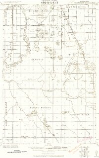
1918 · Terrebonne
USGS Topo · 1:62,500
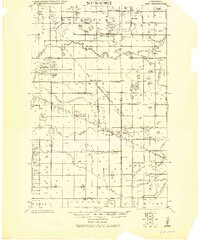
1919 · Grit
USGS Topo · 1:62,500
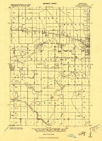
1919 · Valley
USGS Topo · 1:62,500

1952 · Grand Forks
USGS Topo · 1:250,000

1954 · Bemidji
USGS Topo · 1:250,000

1956 · Grand Forks
USGS Topo · 1:250,000

1957 · Bemidji
USGS Topo · 1:250,000

1958 · Bemidji
USGS Topo · 1:250,000
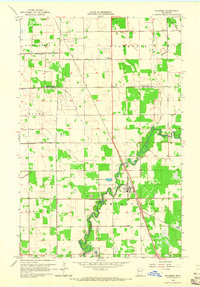
1964 · Plummer
USGS Topo · 1:24,000
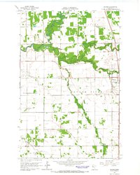
1964 · Brooks
USGS Topo · 1:24,000