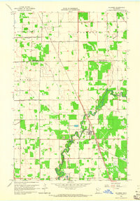
1964 Map of Plummer
USGS Topo · Published 1965About this map
The Clearwater River winds through the Red Lake County landscape, serving as the primary geographical anchor for the village of Plummer. During the mid-1960s, this area was defined by its highly organized drainage system, visible in the numerous numbered channels like County Ditch No 15 and County Ditch No 62, which reclaimed the flat terrain for agriculture. The Soo Line railroad bisects the territory, running parallel to the river and connecting the local economy to broader regional markets.
Find a feature on this map
26 named features on this map. Tap any name to fly to it.
Don’t see what you’re looking for? This feature index may not catch every label — zoom into the map to look around manually.
Map Details
Editions of this 1964 Plummer Map
This is the sole edition of this map. No revisions or reprints were ever made.
Other maps of this area
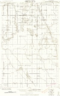
1918 · Terrebonne
USGS Topo · 1:62,500
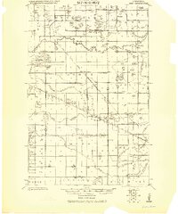
1919 · Grit
USGS Topo · 1:62,500
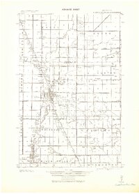
1943 · Thief River Falls
USGS Topo · 1:62,500

1952 · Grand Forks
USGS Topo · 1:250,000

1952 · Thief River Falls
USGS Topo · 1:250,000

1954 · Bemidji
USGS Topo · 1:250,000

1954 · Roseau
USGS Topo · 1:250,000

1956 · Thief River Falls
USGS Topo · 1:250,000

1956 · Grand Forks
USGS Topo · 1:250,000

1957 · Roseau
USGS Topo · 1:250,000