Old Maps of Hills of Spring Creek, Northfield for Genealogy
Trace your family roots with 10 historic maps of Hills of Spring Creek. These high-res maps reveal old neighborhoods, homesites, landmarks, and streets — helping you uncover where your ancestors lived and how the area evolved over time.
- Explore historic neighborhoods: Identify where your relatives may have lived in the 1800s or 1900s.
- Compare maps over time: Trace the changes in streets, buildings, and landmarks for multi-generational research.
- Perfect for genealogy & ancestry research: Used by family historians and researchers to map out lineage and migration.
These maps are an incredible resource for exploring your personal connection to Hills of Spring Creek's past.
Hills of Spring Creek, Northfield maps
(10)- 1953 Map of Saint Paul, 1964 Print
 1953 Saint Paul1964 Print · USGSThe Twin Cities and the Mississippi River valley are captured here at a mid-century turning point. Trace the early growth of Minneapolis and Saint Paul alongside landmarks like Lake Minnetonka and the St Croix River.4 unique versions available
 - 1959 Map of Saint Paul
 1959 Saint Paul1959 Print · USGSThe Twin Cities and southeastern Minnesota appear here in the late fifties, showing the peak of the rail era and post-war suburban growth. Genealogists can trace family footprints near Lake Minnetonka, the Univ Of Minn Rosemount Research Center, or the growing neighborhoods of Richfield.2 unique versions available
 - 1960 Map of Northfield, 1961 Print
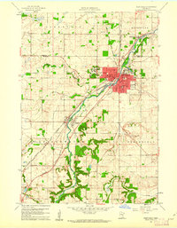 1960 Northfield1961 Print · USGSNorthfield and its surrounding townships are shown at a peak of mid-century growth, serving as a vital rail junction between the Twin Cities and southern Minnesota. Researchers can trace institutional grounds at St Olaf College and Carleton College or find rural landmarks like Little Prairie Ch and Dundas.2 unique versions available
 - 1985 Map of Faribault, 1986 Print
 1985 Faribault1986 Print · USGSThe Minnesota River valley and the glacial lake country of Rice and Le Sueur counties are shown here in the mid-1980s. Researchers can trace the academic grounds of St Olaf College or find old crossroads like Trondhjem and Little Chicago.2 unique versions available
 - 1991 Map of Northfield, 1995 Print
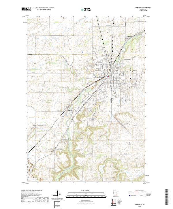
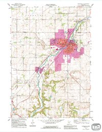 1991 Northfield1995 Print · USGSNorthfield and the Cannon River valley are seen here in the early nineties, a period of established academic and civic growth. Researchers can trace the sprawling grounds of St Olaf College and Carleton College, or locate rural landmarks like Little Prairie Ch and the hamlet of Waterford.
 - 2010 Map of Northfield, 2010 Print
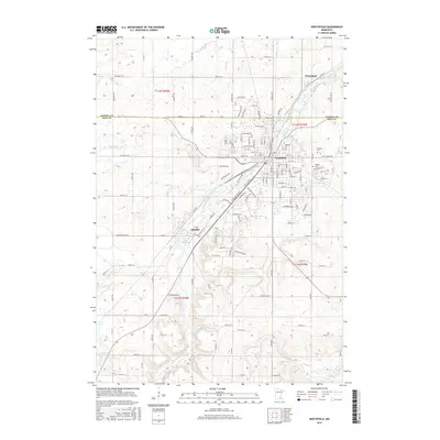
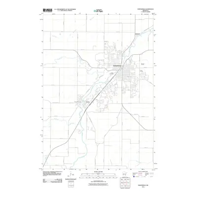 2010 Northfield2010 Print · USGSCovers Hills of Spring Creek, including Northfield, Dundas, and other nearby areas
 - 2013 Map of Northfield, 2013 Print
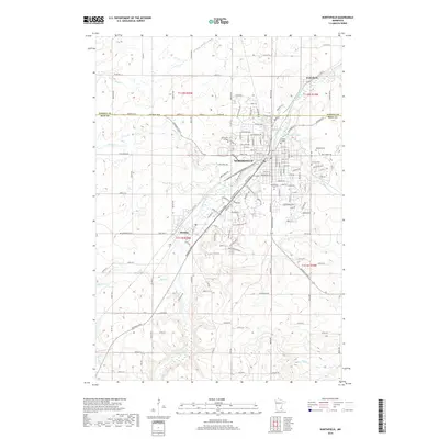
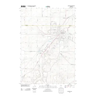 2013 Northfield2013 Print · USGSCovers Hills of Spring Creek, including Northfield, Dundas, and other nearby areas
 - 2016 Map of Northfield, 2016 Print
 2016 Northfield2016 Print · USGSCovers Hills of Spring Creek, including Northfield, Dundas, and other nearby areas
 - 2019 Map of Northfield, 2019 Print
 2019 Northfield2019 Print · USGSCovers Hills of Spring Creek, including Northfield, Dundas, and other nearby areas
 - 2022 Map of Northfield, 2022 Print
 2022 Northfield2022 Print · USGSThe riverfront college towns of the Rice-Dakota county line are shown here as they appeared in the early 2020s. Researchers can map the expanding campuses of Saint Olaf College and Carleton College or locate legacy sites like Oaklawn Cem and Dundas.
End of results
Showing maps 1-10 of 10
Frequently asked questions
- What are the different types of historical maps available for Hills of Spring Creek?
- What is the oldest map of Hills of Spring Creek?
- Where can I purchase historical maps of Hills of Spring Creek for my home or office?
- Where can I download high-res historical maps of Hills of Spring Creek?
- Are there historical topographic maps available for Hills of Spring Creek?
- Is there historical aerial imagery available for Hills of Spring Creek?
- Where are historical maps of Hills of Spring Creek sourced from?