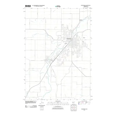
2010 Map of Northfield
USGS Topo · Published 2010About this map
The Northfield townsite and its immediate surroundings are defined by the winding course of the Cannon River, which flows north through the heart of the settlement. At this point in the early 21st century, the map shows the established campus of Saint Olaf College overlooking the river valley from the west. The river’s importance to the local economy and geography is underscored by the Cannon River Dam located near the center of town and a second dam downstream at Dundas.
Find a feature on this map
52 named features on this map. Tap any name to fly to it.
Don’t see what you’re looking for? This feature index may not catch every label — zoom into the map to look around manually.
Map Details
Editions of this 2010 Northfield Map
This is the sole edition of this map. No revisions or reprints were ever made.
Other maps of this area

1953 · Saint Paul
USGS Topo · 1:250,000

1957 · Farmington
USGS Topo · 1:62,500

1957 · Prior Lake
USGS Topo · 1:62,500

1959 · Saint Paul
USGS Topo · 1:250,000

1960 · Faribault
USGS Topo · 1:24,000

1960 · Northfield
USGS Topo · 1:24,000

1960 · Cannon City
USGS Topo · 1:24,000

1960 · Dennison
USGS Topo · 1:24,000

1960 · Little Chicago
USGS Topo · 1:24,000

1960 · Nerstrand
USGS Topo · 1:24,000