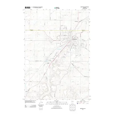
2013 Map of Northfield
USGS Topo · Published 2013About this map
The Cannon River corridor serves as the central artery for this region of Minnesota, anchoring the prominent academic and residential centers of Northfield and its neighbors. The map illustrates the significant footprint of two historic institutions, St. Olaf Coll and Carleton Coll, which have shaped the local character and street plan. Surrounding the urban core, the landscape transitions into a network of agricultural lands and smaller settlements like Waterford to the north and Dundas to the south. Along the river, the Cannon River Reservoir and Lyman Lakes highlight the waterway's local importance for recreation and geography. Notable sites for genealogical research include Oak Lawn Cem and Calvary Cem, positioned on the eastern outskirts. The terrain is further defined by several tributaries, including Heath Cr, Wolf Cr, and Mud Cr, which cut through the rolling glacial topography.
Find a feature on this map
113 named features on this map. Tap any name to fly to it.
Don’t see what you’re looking for? This feature index may not catch every label — zoom into the map to look around manually.
Map Details
Editions of this 2013 Northfield Map
This is the sole edition of this map. No revisions or reprints were ever made.
Other maps of this area

1953 · Saint Paul
USGS Topo · 1:250,000

1957 · Farmington
USGS Topo · 1:62,500

1957 · Prior Lake
USGS Topo · 1:62,500

1959 · Saint Paul
USGS Topo · 1:250,000

1960 · Faribault
USGS Topo · 1:24,000

1960 · Northfield
USGS Topo · 1:24,000

1960 · Cannon City
USGS Topo · 1:24,000

1960 · Dennison
USGS Topo · 1:24,000

1960 · Little Chicago
USGS Topo · 1:24,000

1960 · Nerstrand
USGS Topo · 1:24,000