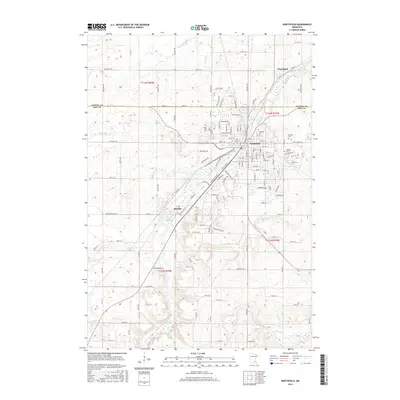
2016 Map of Northfield
USGS Topo · Published 2016About this map
Saint Olaf Coll and Carleton Coll dominate the academic landscape of Northfield, anchoring this river-oriented community during the mid-2010s. The Cannon River serves as the central geographic spine, flowing through the heart of the city and expanding into the Cannon River Reservoir to the south. This survey illustrates the dense residential and institutional development of the college campuses compared to the neighboring community of Dundas and the smaller settlement of Waterford at the northern edge. Significant local history sites such as Oaklawn Cem and Calvary Cem are clearly demarcated on the eastern side of the river. The surrounding topography is defined by its drainage network, with Heath Cr, Wolf Cr, and Prairie Cr carving into the terrain as they seek the main river channel.
Find a feature on this map
134 named features on this map. Tap any name to fly to it.
Don’t see what you’re looking for? This feature index may not catch every label — zoom into the map to look around manually.
Map Details
Editions of this 2016 Northfield Map
This is the sole edition of this map. No revisions or reprints were ever made.
Other maps of this area

1953 · Saint Paul
USGS Topo · 1:250,000

1957 · Farmington
USGS Topo · 1:62,500

1957 · Prior Lake
USGS Topo · 1:62,500

1959 · Saint Paul
USGS Topo · 1:250,000

1960 · Faribault
USGS Topo · 1:24,000

1960 · Northfield
USGS Topo · 1:24,000

1960 · Cannon City
USGS Topo · 1:24,000

1960 · Dennison
USGS Topo · 1:24,000

1960 · Little Chicago
USGS Topo · 1:24,000

1960 · Nerstrand
USGS Topo · 1:24,000