Old Maps of Mound Township, Minnesota for Genealogy
Trace your family roots with 27 historic maps of Mound Township. These high-res maps reveal old neighborhoods, homesites, landmarks, and streets — helping you uncover where your ancestors lived and how the area evolved over time.
- Explore historic neighborhoods: Identify where your relatives may have lived in the 1800s or 1900s.
- Compare maps over time: Trace the changes in streets, buildings, and landmarks for multi-generational research.
- Perfect for genealogy & ancestry research: Used by family historians and researchers to map out lineage and migration.
These maps are an incredible resource for exploring your personal connection to Mound Township's past.
Mound Township, MN maps
(27)- 1955 Map of Sioux Falls, 1967 Print
 1955 Sioux Falls1967 Print · USGSThe eastern South Dakota and western Minnesota borderlands come alive in the mid-fifties, showing the vital rail-to-river connections of the era. Genealogists can trace family footprints across townships like Madison and Pipestone, while following the paths of the Big Sioux River and the Chicago and North Western line.3 unique versions available
 - 1958 Map of Sioux Falls
 1958 Sioux Falls1958 Print · USGSThe tri-state borderlands of South Dakota, Minnesota, and Iowa are captured here during the mid-century peak of the regional rail network. Genealogists and historians can trace local landmarks like Augustana Academy, the St Marys Cem, and the path of the Illinois Central through Rock Rapids.
 - 1967 Map of Edgerton South, 1968 Print
 1967 Edgerton South1968 Print · USGSPipestone and Rock Counties are captured in the late sixties, showing a landscape defined by the Chicago Rock Island and Pacific railroad. Genealogists and local historians can trace the town layouts of Edgerton and Hardwick, or locate family plots at Hillside Cem.
 - 1967 Map of Jasper SE, 1968 Print
 1967 Jasper SE1968 Print · USGSRock County's rural townships are shown in detail during the late sixties, capturing the agricultural grid and rail infrastructure of the day. Genealogists can locate family landmarks such as Rose Dell Ch, the Townhall, and the Chicago Rock Island and Pacific railroad line.
 - 1967 Map of Hills NE, 1968 Print
 1967 Hills NE1968 Print · USGSRock County's agricultural landscape is captured here in the late sixties, showing the structured grid of family farms and townships. Genealogists and local historians can trace rail history along the Chicago and North Western or locate the rural Townhall and winding Little Beaver Creek.
 - 1967 Map of Luverne, 1969 Print
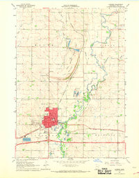 1967 Luverne1969 Print · USGSRock County in the late sixties reveals a landscape of river-valley agriculture and rail-driven growth. Genealogists can trace family names at Restlawn Memorial Gardens or St Catherines Cem and locate local landmarks like the Drive-in Theater.2 unique versions available
 - 1985 Map of Sioux Falls
 1985 Sioux Falls1985 Print · USGSIn the mid-1980s, the borderlands of South Dakota, Minnesota, and Iowa reveal a landscape shaped by the Big Sioux River and a growing urban hub. Researchers can trace the development of Sioux Falls and locate smaller communities like Dell Rapids, Garretson, and Valley Springs.2 unique versions available
 - 2010 Map of Hills NE, 2010 Print
 2010 Hills NE2010 Print · USGSSouthwest Rock County’s prairie landscape is captured in the early twenty-first century, showcasing the intersection of the grid-based road system and natural watercourses. Genealogists and local researchers can trace family farm locations along Beaver Creek and follow the routes of County Hwy-63 and County Hwy-11.
 - 2010 Map of Jasper SE, 2010 Print
 2010 Jasper SE2010 Print · USGSMound Township at the end of the first decade of the 2000s shows a landscape of enduring agricultural tradition and precise prairie grids. Genealogists and local historians can locate Rose Dell Cemetery or trace the paths of Poplar Creek and Beaver Creek.
 - 2010 Map of Edgerton South, 2010 Print
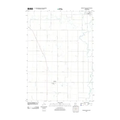 2010 Edgerton South2010 Print · USGSPipestone County at the start of the 2010s shows a landscape defined by traditional agriculture and the steady presence of the Rock River. Genealogists and local historians can trace the precise layout of Edgerton and Hardwick, including the locations of the Edgerton Post Office and Hardwick Post Office.
 - 2010 Map of Luverne, 2010 Print
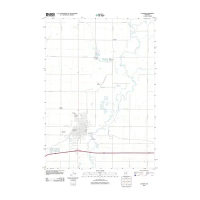 2010 Luverne2010 Print · USGSLuverne and the surrounding Rock County prairie are documented here during the early twenty-first century. Genealogists and historians can locate numerous burial sites such as Norwegian Cemetery and Blue Mound Cemetery, or trace the waters of the Rock River through Blue Mounds State Park.
 - 2013 Map of Jasper SE, 2013 Print
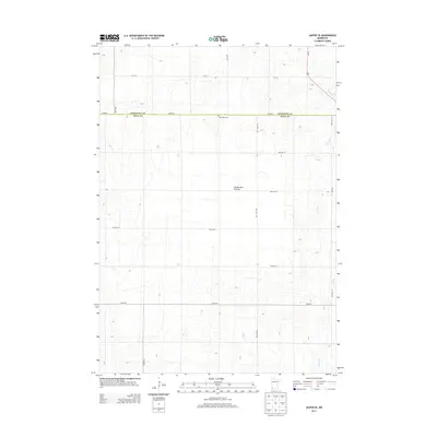 2013 Jasper SE2013 Print · USGSThe high prairie of the Coteau des Prairies spans the Rock and Pipestone county line in the early twenty-first century. Researchers can locate the Rose Dell Cem and trace the rural drainage of Beaver Cr and Poplar Cr.
 - 2013 Map of Edgerton South, 2013 Print
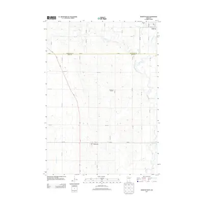 2013 Edgerton South2013 Print · USGSSouthwest Minnesota's agricultural heartland is documented here in the early twenty-first century, spanning the border of Pipestone and Rock counties. Researchers can locate Hillside Cem and trace the drainage of the Rock River and Mound Cr across the Coteau des Prairies.
 - 2013 Map of Hills NE, 2013 Print
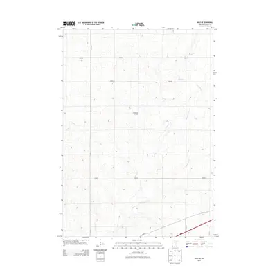 2013 Hills NE2013 Print · USGSThe high plateau of the Coteau des Prairies in Rock County is captured here in the early twenty-first century. Genealogists and historians can trace the rural landscape across Beaver Cr and Little Beaver Cr, following the section-line grids of Co Hwy-6.
 - 2013 Map of Luverne, 2013 Print
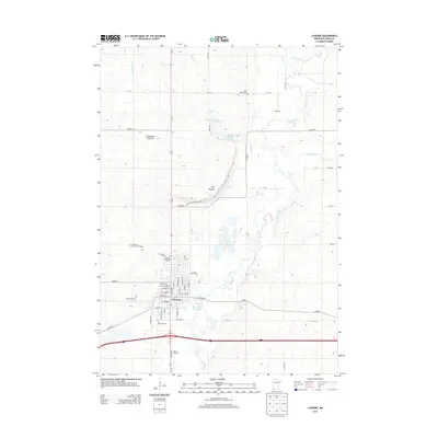 2013 Luverne2013 Print · USGSLuverne and the Sioux Quartzite cliffs of the Coteau des Prairies are captured here in the early 21st century. Researchers can locate several historical burial sites like the Norwegian Cem and Blue Mound Cem, or trace the grounds of Blue Mounds State Park.
 - 2016 Map of Edgerton South, 2016 Print
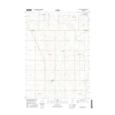 2016 Edgerton South2016 Print · USGSThe Pipestone and Rock County line comes alive in this modern survey of the southwestern Minnesota prairie. Researchers can trace the town layouts of Edgerton and Hardwick or follow the paths of Rock River and Mound Cr.
 - 2016 Map of Hills NE, 2016 Print
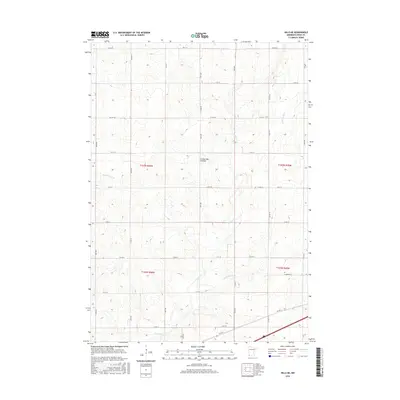 2016 Hills NE2016 Print · USGSAgricultural Rock County comes into focus in this mid-2010s survey, showing the high prairie plateau before it drops toward the Big Sioux basin. Genealogists and researchers can trace the sections of the Coteau des Prairies and follow the paths of Beaver Cr and Springwater Cr through the township grids.
 - 2016 Map of Luverne, 2016 Print
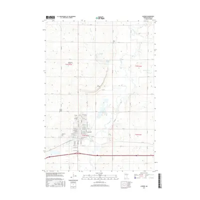 2016 Luverne2016 Print · USGSLuverne and its surrounding prairie uplands are captured here in the mid-2010s as the town borders the winding Rock River. Researchers can locate several burial sites including the Norwegian Cem and Blue Mound Cem, or trace local geography near The Mound.
 - 2016 Map of Jasper SE, 2016 Print
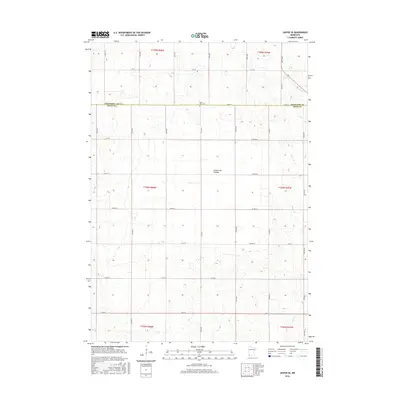 2016 Jasper SE2016 Print · USGSSouthwestern Minnesota's high prairie remains a landscape of steady agricultural tradition in the 2010s. Researchers can trace land divisions along the Coteau des Prairies and locate local landmarks like the Rose Dell Cem and Beaver Cr.
 - 2019 Map of Edgerton South, 2019 Print
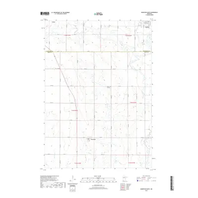 2019 Edgerton South2019 Print · USGSSouthwestern Minnesota's high prairie landscape is captured here in the late 2010s, defined by the prominent Coteau des Prairies. Genealogists and local historians can trace the connection between Edgerton and Hardwick via the Rock River and various rural township roads.
 - 2019 Map of Jasper SE, 2019 Print
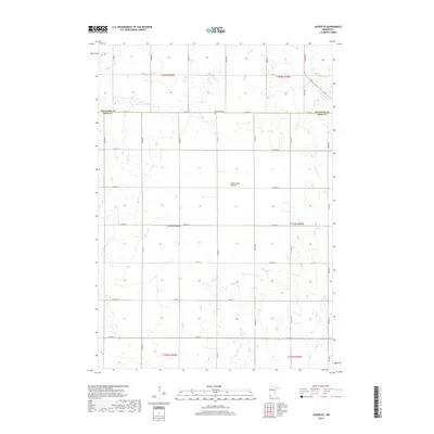 2019 Jasper SE2019 Print · USGSSouthwestern Minnesota’s high plateau is captured here in the late twenty-tens, showing the intersection of Rock and Pipestone counties. Researchers can locate the Rose Dell Cem and trace the headwaters of Poplar Cr and Beaver Cr across the plains.
 - 2019 Map of Luverne, 2019 Print
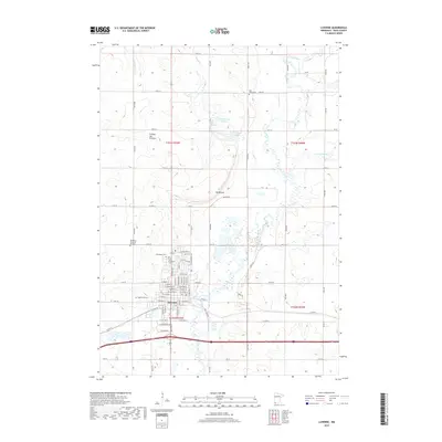 2019 Luverne2019 Print · USGSLuverne and the surrounding Rock County prairies are captured here in the late 2010s. Genealogists and historians can locate family sites at the Norwegian Cem or Maplewood Cem, and trace the path of the Rock River near The Mound.
 - 2019 Map of Hills NE, 2019 Print
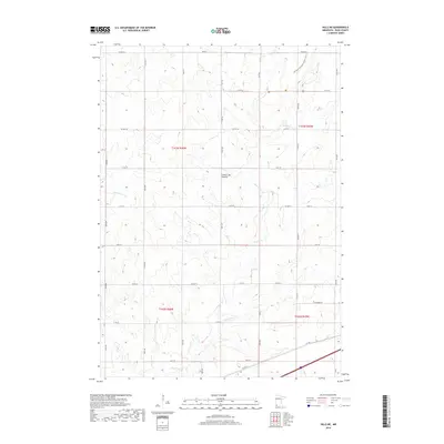 2019 Hills NE2019 Print · USGSRock County's agricultural highlands are captured in this recent survey, showcasing the enduring township grid of the Minnesota prairie. Trace the path of the Northern Tall Grass Prairie Trail and the winding course of Beaver Cr.
 - 2022 Map of Hills NE, 2022 Print
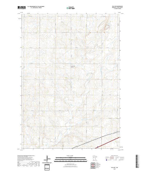 2022 Hills NE2022 Print · USGSThe high plains of Rock County appear in this recent survey, showcasing the distinct agricultural grid and natural drainage of the Coteau des Prairies. Trace the winding paths of the Northern Tall Grass Prairie Trail 1 Trl and the riparian corridors of Beaver Cr.
 - 2022 Map of Luverne, 2022 Print
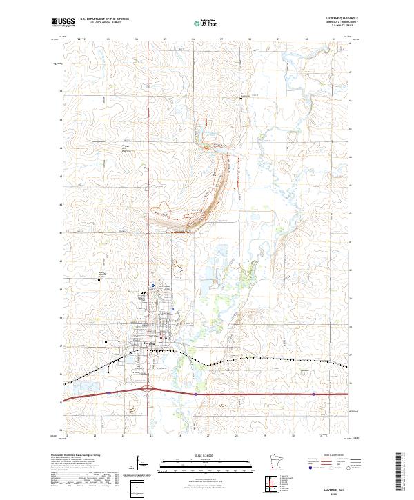 2022 Luverne2022 Print · USGSLuverne and the surrounding Rock County prairie are documented in the early twenty-first century, showing the community's relationship with the Rock River. Genealogists can locate several local burial grounds, including Maplewood Cem and Norwegian Cem, alongside landmarks like the Rock County Court House.
Showing maps 1-25 of 27
Top cities near Mound Township
- Luverne historical maps
- Edgerton historical maps
- Valley Springs historical maps
- Hills historical maps
- Ellsworth historical maps
- Jasper historical maps
See more
Frequently asked questions
- What are the different types of historical maps available for Mound Township?
- What is the oldest map of Mound Township?
- Where can I purchase historical maps of Mound Township for my home or office?
- Where can I download high-res historical maps of Mound Township?
- Are there historical topographic maps available for Mound Township?
- Is there historical aerial imagery available for Mound Township?
- Where are historical maps of Mound Township sourced from?