Old Maps of Biwabik, Minnesota for Academic Research
Study the evolution of Biwabik with 19 high-resolution historic maps. Whether you're teaching, researching, or modeling changes in land use, these maps provide essential visual documentation of urban, environmental, and geographic change.
- Analyze long-term change: Track patterns in development, transportation, and natural features.
- Ideal for environmental or urban studies: Support academic projects with primary historical map data.
- Use in the classroom or lab: Educators and researchers rely on these maps to bring historical context to life.
These maps are a powerful tool for teaching, research, and visualizing how Biwabik has changed over the decades.
Biwabik, MN maps
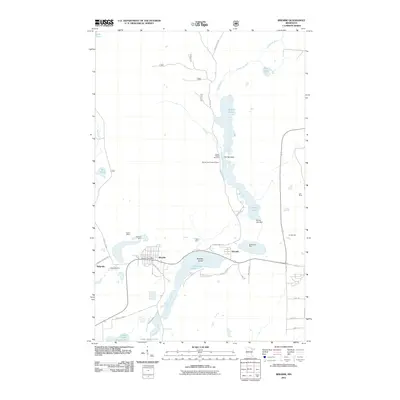
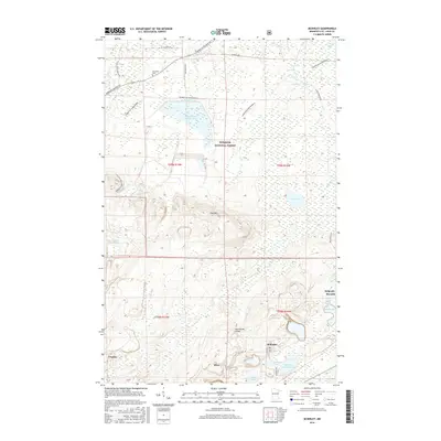
(19)- 1950 Map of Biwabik, 1959 Print
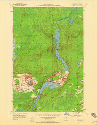 1950 Biwabik1959 Print · USGSIn the heart of the Mesabi Range during the mid-century mining boom, this map shows a landscape transformed by massive pits and rail lines. Genealogists and industrial historians can locate old company towns like Pineville and Belgrade or trace the early operations of the Canton Mine and Erie Mine.5 unique versions available
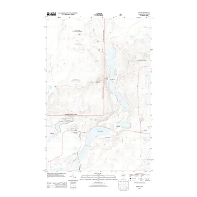
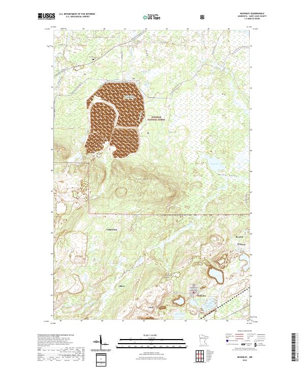
 - 1950 Map of Mc Kinley, 1960 Print
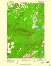 1950 Mc Kinley1960 Print · USGSIron mining communities and the Duluth Missabe and Iron Range railroad define this mid-century survey of the Mesabi Range. Local historians can trace the industrial footprint of the Corsica Mine and the early layouts of McKinley and Elcor.4 unique versions available
 - 1951 Map of Biwabik
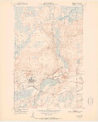 1951 Biwabik1951 Print · USGSMid-century mining on the Mesabi Range is captured here during a period of intense industrial activity and growth. Local historians can trace the footprints of the Biwabik Mine, the Duluth Missabe and Iron Range rail lines, and the Erie Mine works.2 unique versions available
 - 1951 Map of Mc Kinley
 1951 Mc Kinley1951 Print · USGSThe Mesabi Range’s industrial landscape comes into focus during the early fifties, showing a network of iron mines and company towns. Genealogists and historians can trace the foundations of McKinley, Elcor, and the Corsica Mine alongside the Duluth Missabe and Iron Range railroad.2 unique versions available
 - 1954 Map of Hibbing, 1966 Print
 1954 Hibbing1966 Print · USGSNorthern Minnesota's Iron Range thrives during the mid-1960s, showing the industrial landscape between the Mesabi Range and the Mississippi River. Genealogists and historians can trace the rail lines of the Great Northern RR through mining hubs like Hibbing and Virginia.3 unique versions available
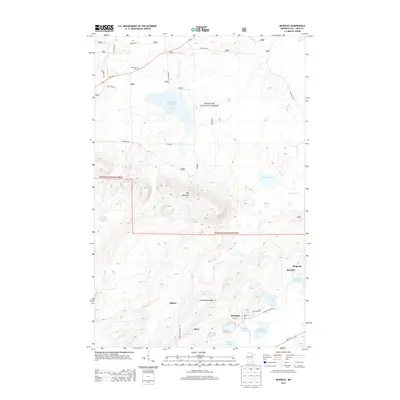
 - 1957 Map of Hibbing
 1957 Hibbing1957 Print · USGSNorthern Minnesota's Iron Range is shown at its industrial peak in the mid-fifties, dominated by the massive iron pits and rail corridors of the Mesabi Range. Researchers can trace the rail networks of the Duluth Missabe and Iron Range and locate mining hubs like Hibbing, Virginia, and Bovey.
 - 1958 Map of Hibbing
 1958 Hibbing1958 Print · USGSThe Mesabi Iron Range reached its mid-century height during this era, defining the landscape between Grand Rapids and Virginia. Genealogists and historians can trace the mining-town networks of Hibbing and Chisholm or locate numerous iron mines and rail spurs.
 - 1964 Map of Hibbing
 1964 Hibbing1964 Print · USGSNorthern Minnesota’s iron-rich corridor is captured here during a peak era of mid-century industrial activity. Researchers can trace the rail-to-mine connections through Mesabi Range towns like Hibbing and Virginia or locate lakefront settlements near Pokegama Lake.
 - 1994 Map of Vermillion Lake
 1994 Vermillion Lake1994 Print · USGSThe Mesabi Iron Range meets the North Woods in the 1990s, showcasing the heavy industrial footprint of the Duluth Missabe & Iron Range RR. Trace the sprawling works of the Mines near Virginia or the intricate island shorelines of Vermilion Lake.
 - 2011 Map of McKinley, 2011 Print
 2011 McKinley2011 Print · USGSCovers Biwabik, including Virginia, Gilbert, and other nearby areas
 - 2011 Map of Biwabik, 2011 Print
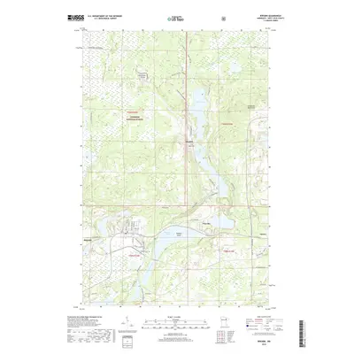
 2011 Biwabik2011 Print · USGSCovers Biwabik, including Aurora, White Township, and other nearby areas
 - 2013 Map of Biwabik, 2013 Print
 2013 Biwabik2013 Print · USGSCovers Biwabik, including Aurora, White Township, and other nearby areas
 - 2013 Map of McKinley, 2013 Print
 2013 McKinley2013 Print · USGSCovers Biwabik, including Virginia, Gilbert, and other nearby areas
 - 2016 Map of Biwabik, 2016 Print
 2016 Biwabik2016 Print · USGSCovers Biwabik, including Aurora, White Township, and other nearby areas
 - 2016 Map of McKinley, 2016 Print
 2016 McKinley2016 Print · USGSCovers Biwabik, including Virginia, Gilbert, and other nearby areas
 - 2019 Map of Biwabik, 2019 Print
 2019 Biwabik2019 Print · USGSCovers Biwabik, including Aurora, White Township, and other nearby areas
 - 2019 Map of McKinley, 2019 Print
 2019 McKinley2019 Print · USGSCovers Biwabik, including Virginia, Gilbert, and other nearby areas
 - 2022 Map of McKinley, 2022 Print
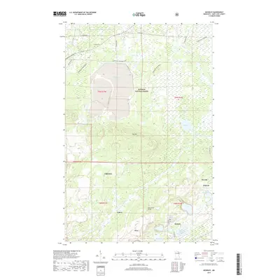
 2022 McKinley2022 Print · USGSModern-day St. Louis County reveals its deep mining heritage across the Mesabi Range in this recent survey. Researchers can trace the footprints of industrial activity and local settlements like Elcor, McKinley, and the Inland Steel Tailings Basin.
 - 2022 Map of Biwabik, 2022 Print
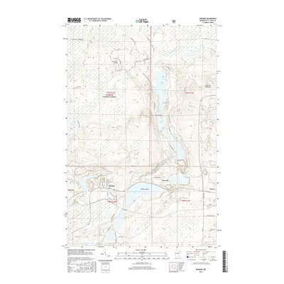
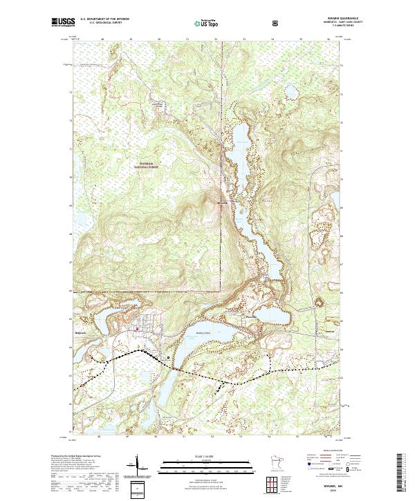 2022 Biwabik2022 Print · USGSBiwabik and the Mesabi Range are captured here in the early 2020s, showing the intersection of Iron Range industry and northern wilderness. Researchers can locate Lakeside Cem, trace the historic Vermilion Trl, and explore the shoreline of Embarrass Lake.
End of results
Showing maps 1-19 of 19
Top cities near Biwabik
- Virginia historical maps
- Eveleth historical maps
- Hoyt Lakes historical maps
- Gilbert historical maps
- Aurora historical maps
- Midway historical maps
See more
Top neighborhoods of Biwabik
Frequently asked questions
- What are the different types of historical maps available for Biwabik?
- What is the oldest map of Biwabik?
- Where can I purchase historical maps of Biwabik for my home or office?
- Where can I download high-res historical maps of Biwabik?
- Are there historical topographic maps available for Biwabik?
- Is there historical aerial imagery available for Biwabik?
- Where are historical maps of Biwabik sourced from?